

Illustrated Maps of Scotland by Jeffrey Stone
Secondhand
Shipping
Standard courier shipping from R30
R30 Standard shipping using one of our trusted couriers applies to most areas in South Africa. Some areas may attract a R30 surcharge. This will be calculated at checkout if applicable.
Check my rate
Check my rate
Free collection from
Kuils River, Cape Town
The seller allows collection for this item and will be in contact with the full collection address once the order is ready.
Ready for collection by Monday, 6 May.
Ready to ship in
The seller has indicated that they will usually have this item
ready to ship within 3 business days. Shipping time depends on your delivery address. The most
accurate delivery time will be calculated at checkout, but in
general, the following shipping times apply:
Standard Delivery
| Main centres: | 1-3 business days |
| Regional areas: | 3-4 business days |
| Remote areas: | 3-5 business days |
Buyer Protection
How you're covered
Get it now, pay later
Returns
Product information
Condition:
Secondhand
Location:
South Africa
Bob Shop ID:
612633873
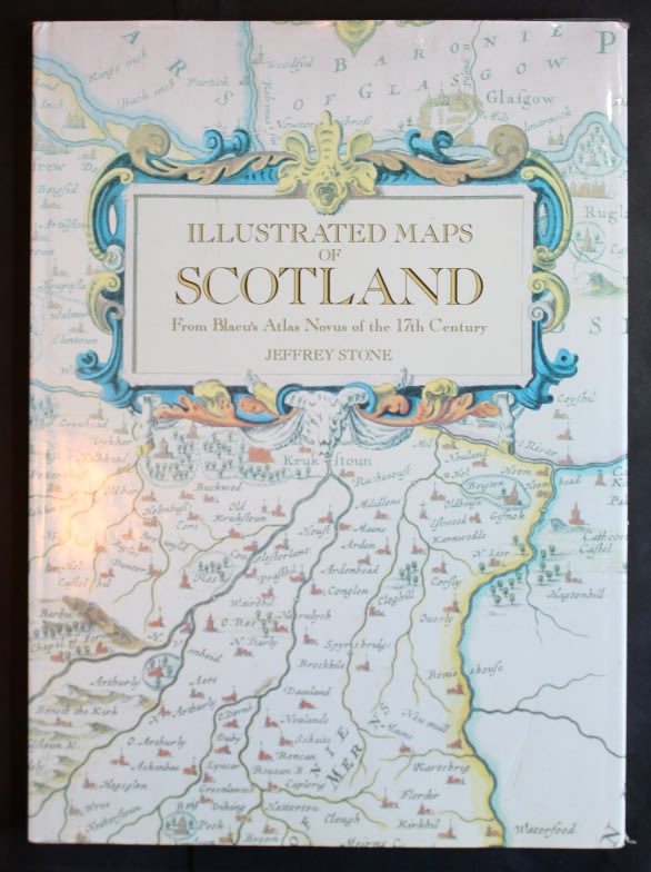
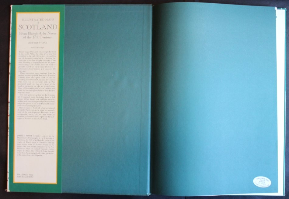
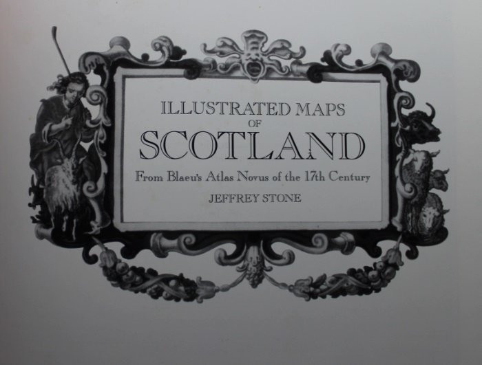
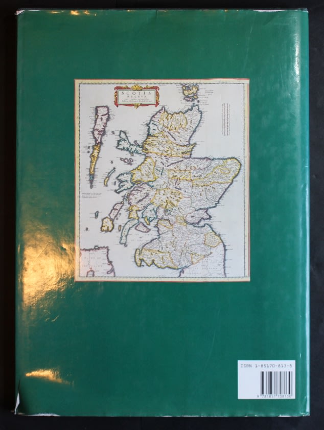
Title: Illustrated Maps of Scotland by Jeffrey Stone.
Author: Jeffrey Stone.
Published By: Studio Editions London 1991, First Edition.
Info: Illustrated Maps of Scotland from Blaeu's Atlas Novus of the 17th Century.
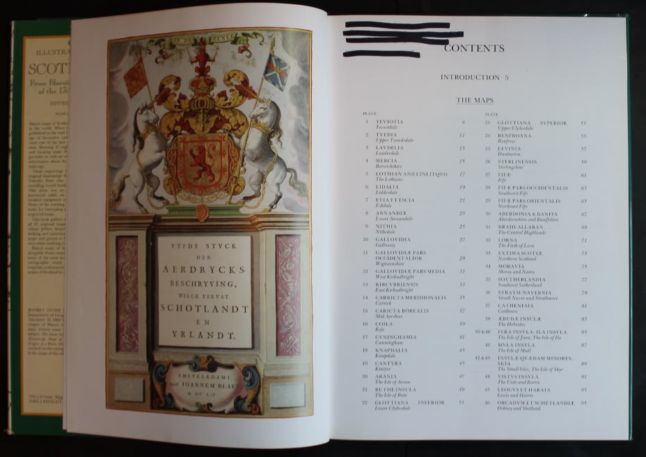
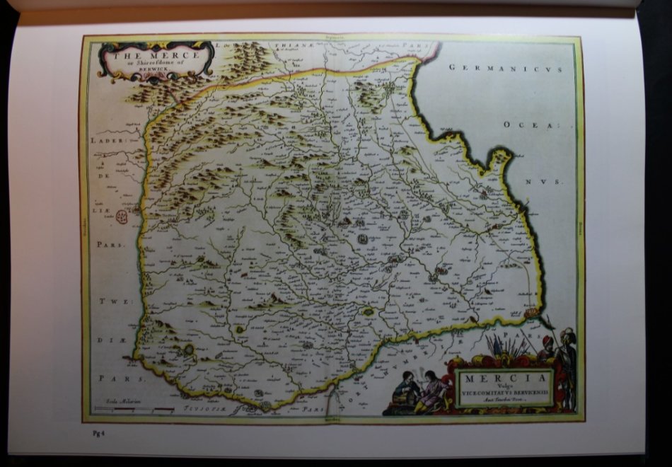
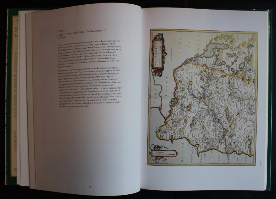
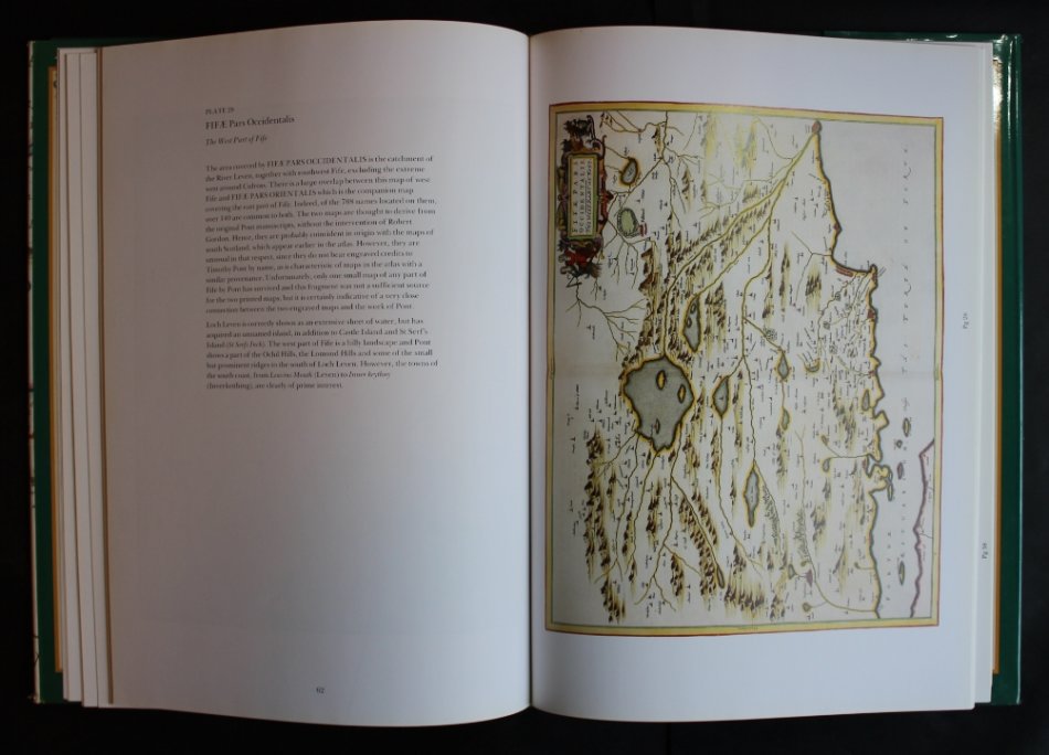
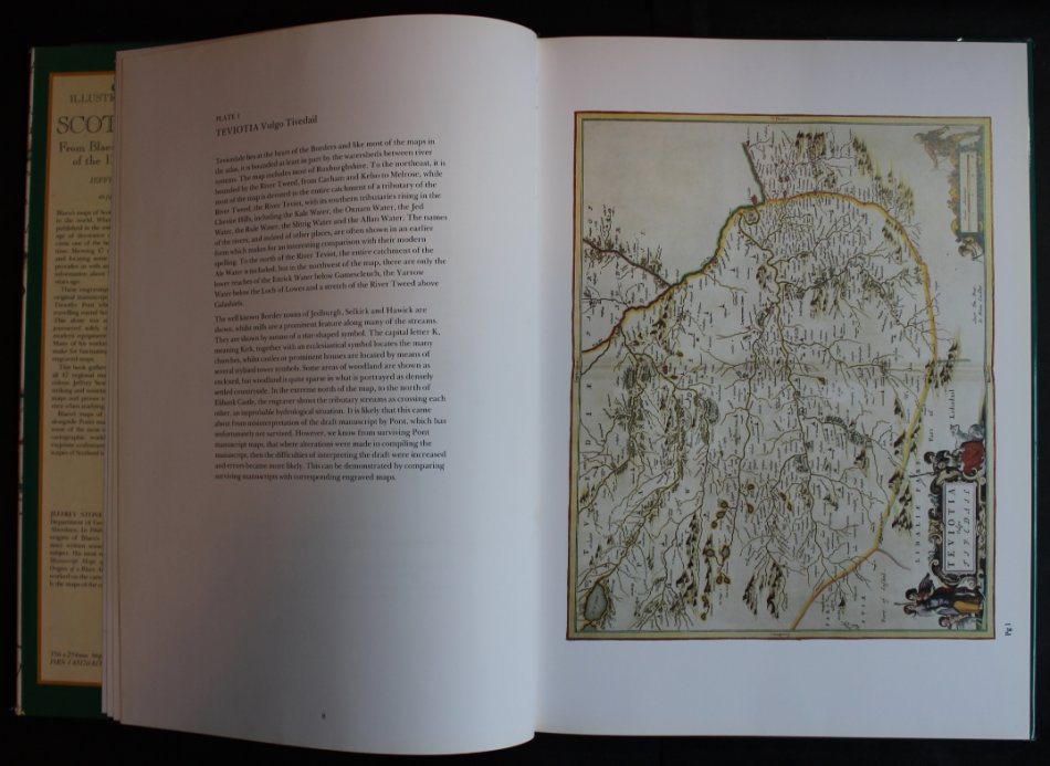
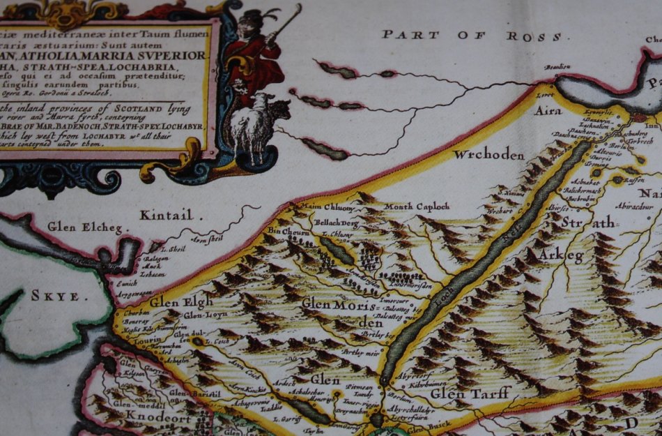
Blaeu's 'Atlas Novus' was published in Amsterdam, with 47 printed maps of parts of Scotland based on Pont and Gordon manuscripts. This could be described as the first atlas of Scotland. (The volume also includes Ireland.) In the 1654 edition, which had six volumes, maps of Scotland are in volume five. By 1662 the atlas, now entitled Atlas Major, had grown to 12 volumes, and Scotland is in volume 6. A reduced facsimile of maps from the 1654 atlas has been published: Jeffrey C Stone's 'Illustrated Maps of Scotland from Blaeu's Atlas Novus of the 17th century' (London: Studio Editions, 1991).
Condition: Very Good, previuos owners name written on Contents Page.
Price: R 495.00 Inc Vat.
![]()