Landmarks of Mapmaking: Illustrated Survey of Maps & Mapmakers / Tooley Landmarks of Mapmaking: Illustrated Survey of Maps & Mapmakers / Tooley Landmarks of Mapmaking: Illustrated Survey of Maps & Mapmakers / Tooley Landmarks of Mapmaking: Illustrated Survey of Maps & Mapmakers / Tooley Landmarks of Mapmaking: Illustrated Survey of Maps & Mapmakers / Tooley Landmarks of Mapmaking: Illustrated Survey of Maps & Mapmakers / Tooley
Landmarks of Mapmaking: Illustrated Survey of Maps & Mapmakers / Tooley Landmarks of Mapmaking: Illustrated Survey of Maps & Mapmakers / Tooley Landmarks of Mapmaking: Illustrated Survey of Maps & Mapmakers / Tooley Landmarks of Mapmaking: Illustrated Survey of Maps & Mapmakers / Tooley
Landmarks of Mapmaking: Illustrated Survey of Maps & Mapmakers / Tooley
+2

Landmarks of Mapmaking: Illustrated Survey of Maps & Mapmakers / Tooley

1 available / secondhand
R690.00
Shipping
R35.00 Standard shipping using one of our trusted couriers applies to most areas in South Africa. Some areas may attract a R30.00 surcharge. This will be calculated at checkout if applicable.
Check my rate
The seller has indicated that they will usually have this item ready to ship within 12 business days. Shipping time depends on your delivery address. The most accurate delivery time will be calculated at checkout, but in general, the following shipping times apply:
 
Standard Delivery
Main centres:  1-3 business days
Regional areas: 3-4 business days
Remote areas: 3-5 business days
Seller
Buyer protection
Get it now, pay later

Product details

Condition
Secondhand
Location
South Africa
Bob Shop ID
646365528

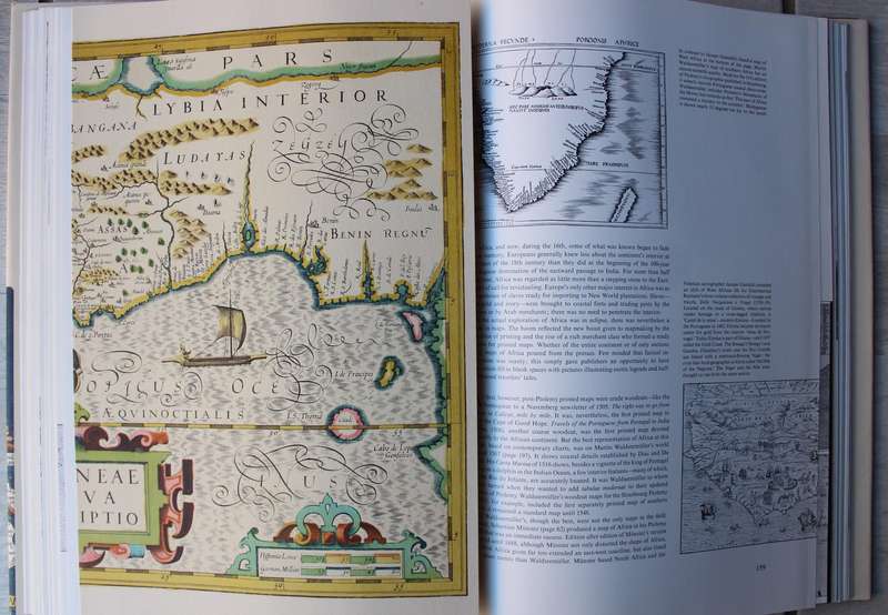
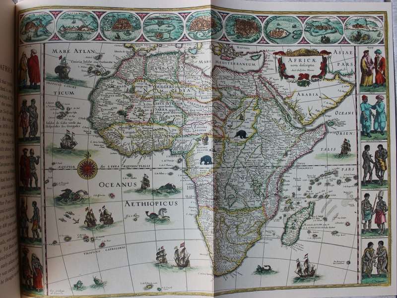
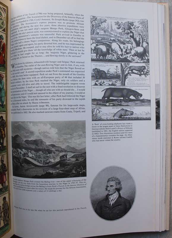
1976 very large format hardcover with dust jacket and 276 pages in very neat condition. A comprehensive book that explores the history of mapmaking. It features over 350 illustrations, including maps and portraits of cartographers, and spans over two thousand years of cartographic history. The book delves into the social, political, and economic influences on map creation, as well as the evolution of cartography itself. It also examines the chronological exploration of different continents including Africa.

Add to cart

Recently viewed

See more
3% OFF
Low Power Solar WIFI Bullet Security Camera
R1,850.00 R1,900.00
Circuit breaker din 25A 1p n 3KA C-CURVE CB-AD30-3125+N
R85.12
Tulip Round Tip Awl Cushion Grip
R450.00
FLOW CONTROL MOUNT STR. PU 4MM
R86.50

Similar products

Vintage Ordnance survey map for England and Wales. 1942 Barnsley & Sheffield.
R1,045.00
The Men Who Mapped the World (with removable maps)
R450.00
Map of the Colony of Natal 1904 4 x Maps Digital Download
R295.00
ORIGINAL HAND COLOURED 1851 AFRICA MAP by John Rapkin (1815 to 1876). With Vignette Illustrations.
R4,250.00