Similar products


| Main centres: | 1-3 business days |
| Regional areas: | 3-4 business days |
| Remote areas: | 3-5 business days |
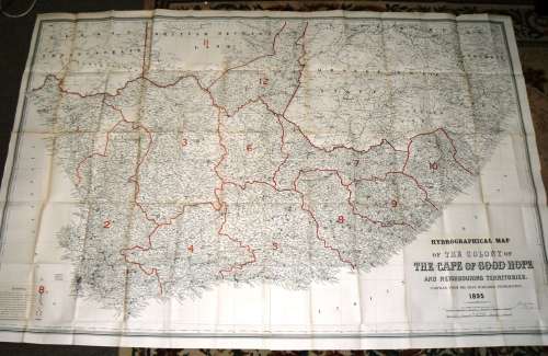
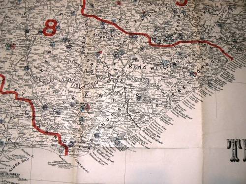
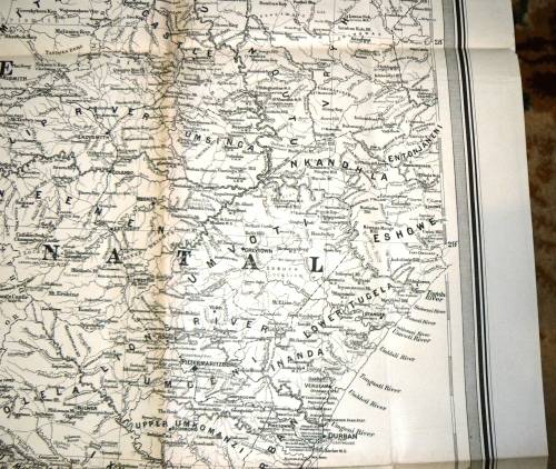
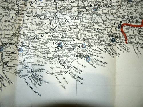
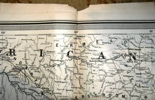
1895 Hydrographical Map of the Colony of THE CAPE OF GOOD HOPE and Neighbouring Territories
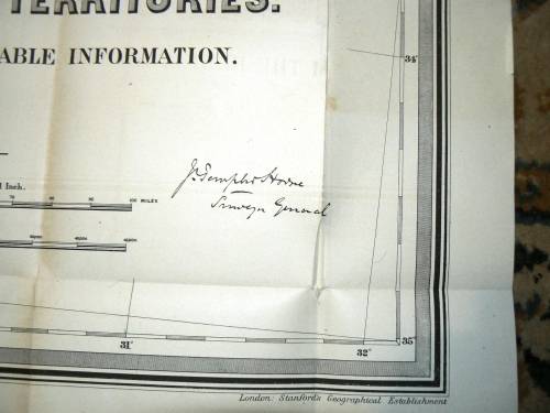
compiled from the best available Information
Map Compiled by Stanford's Geographical establishment London
The Map were folded but are sharp and in a good condition. The reverse are blank. Two small tears at the bottom on the folds were fixed with sticky tape and one on the back. also two small ones in the middle round.
The Map were salvage from a 1896 Cape government book
LARGE MAP : 1.95 x 1.30 cm
Please see the photo's as part of the description.


Same Postage apply if you order one or more Maps
International Bidders Welcome (Please enquire about shipping costs)
Postage and Packaging:
Post Office: R55, --- Courier R110 up to 5kg
We do combine items to save shipping cost. (Please enquire about the cost if you buy more than 1 item)