


| Main centres: | 1-3 business days |
| Regional areas: | 3-4 business days |
| Remote areas: | 3-5 business days |
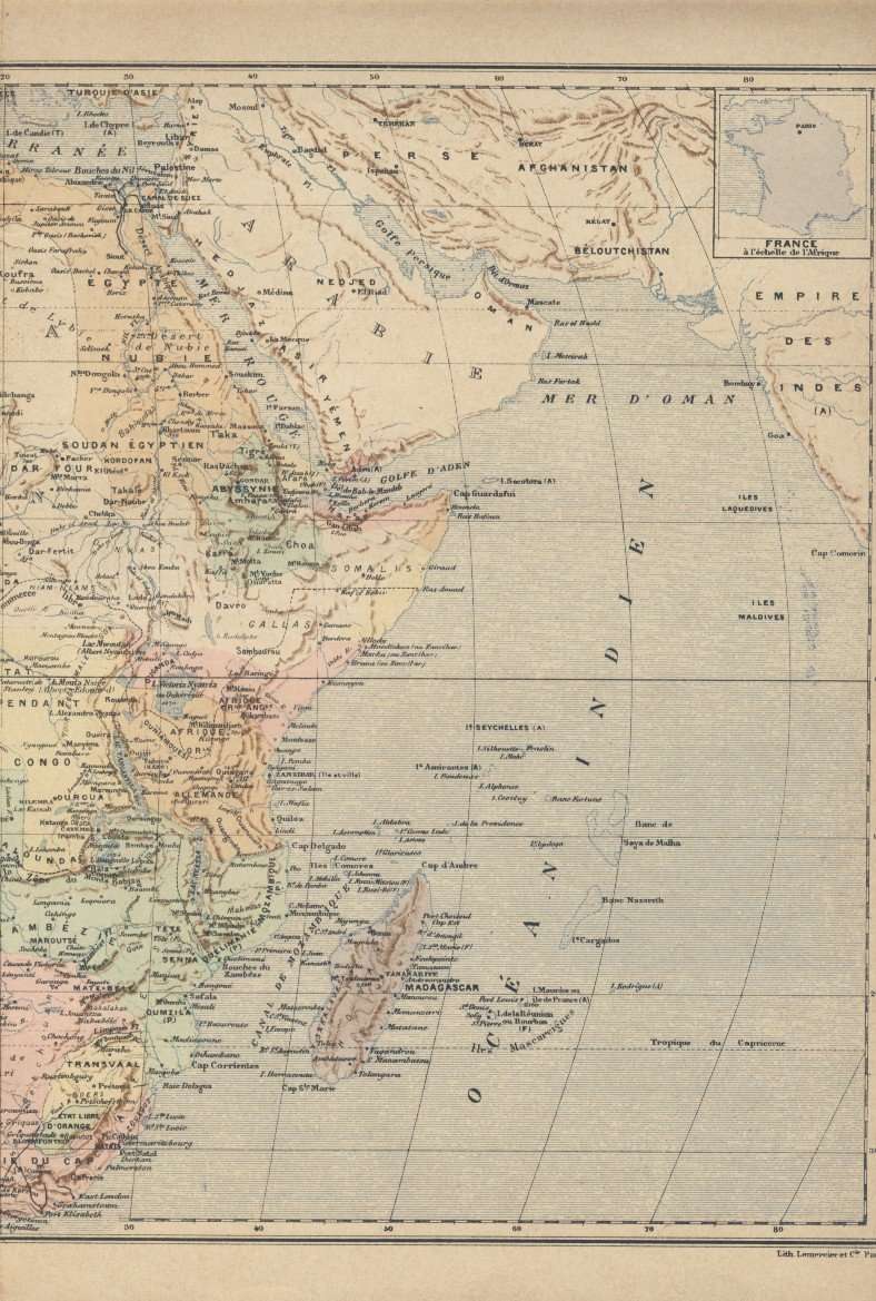
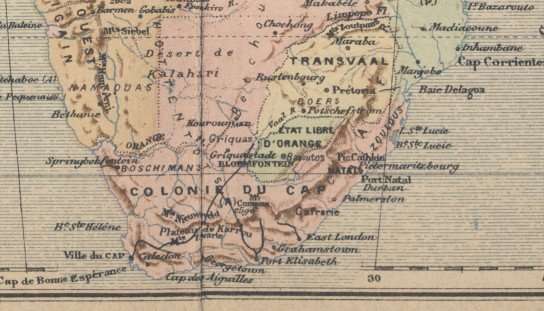
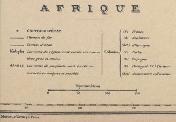
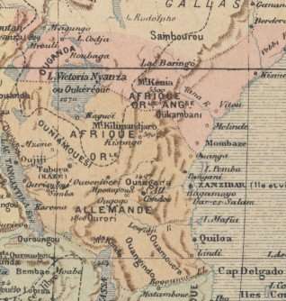
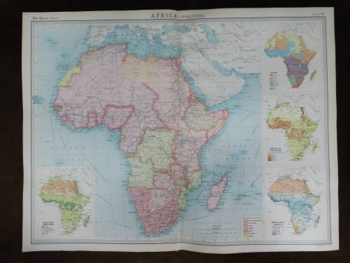
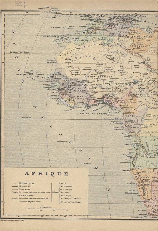
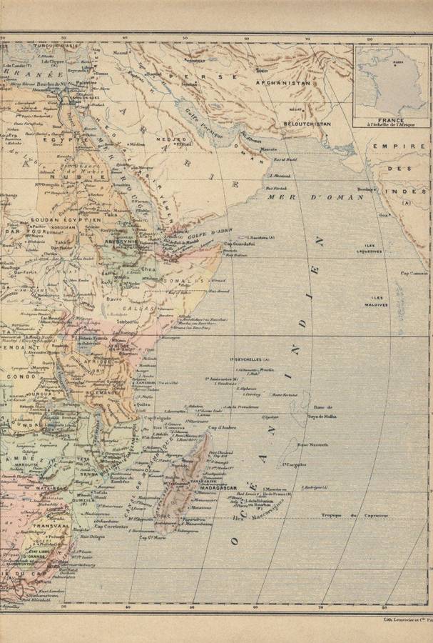
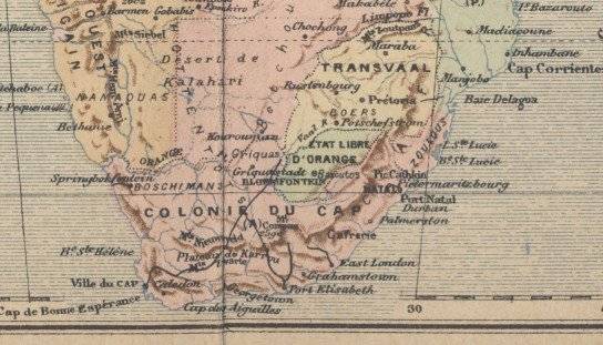
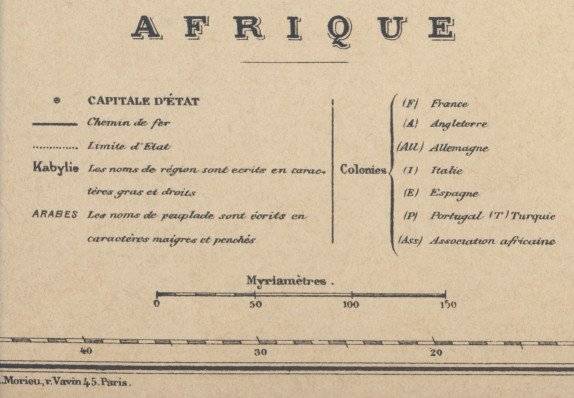
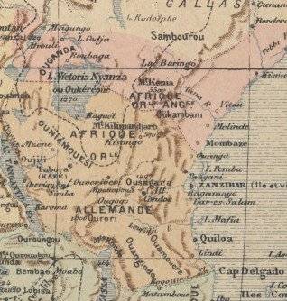
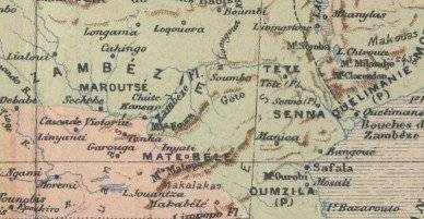
Africa
Circa 1890 Original Map
Very Good Condition
The map is an original Late 1800's issue and NOT a reproduction.
It measures 300mm x 450mm in total
The map is in full colour with no to minimal fading present to the print, the parer is still crisp and firm although it is showing age related discolouration. The map is not dated, nor is it from a major publisher from the period. The map was printed between 1880 and 1900, but most likely around 1890 from a French printer.


 INTERNATIONAL CUSTOMERS WELCOME