View the relisted Item
Lithograph Print Map
Check my rate
| Main centres: | 1-3 business days |
| Regional areas: | 3-4 business days |
| Remote areas: | 3-5 business days |
Product details
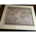
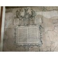
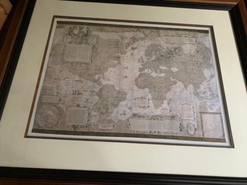
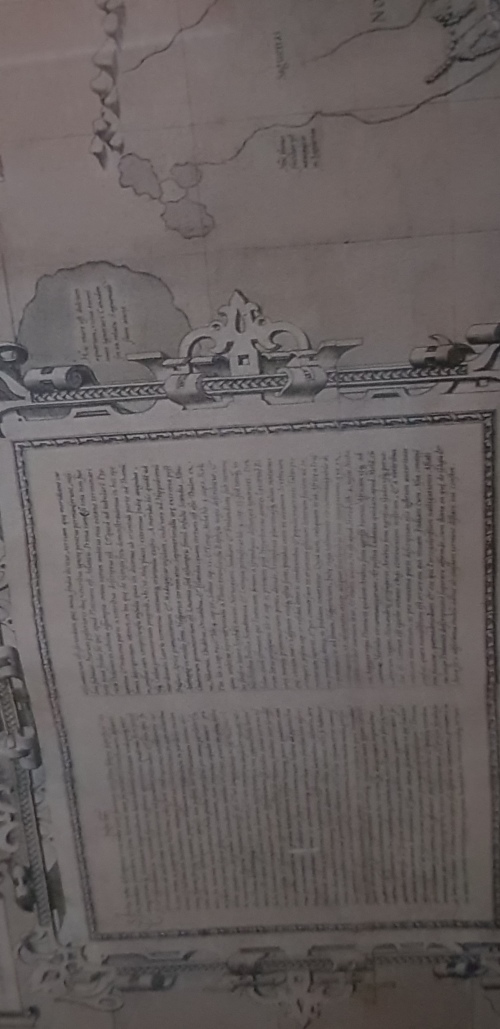
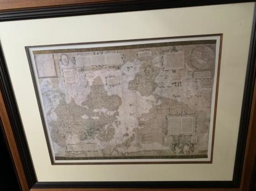
Gerard Mercator World Map 1569
Gerhard Mercator 1569 World Map
Lithograph Print
Vintage
Fabulous Heavy Frame
105cm X 95Cm
Rare Scarce
This Original Size Map Framed...does not or has not been for auction or sale in the last 15 years
High Collectable Value...overseas market Value 500GBP to 750GBP
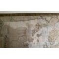
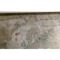
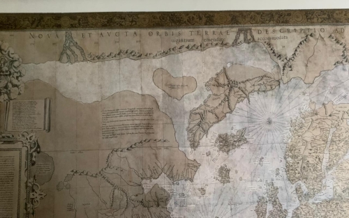
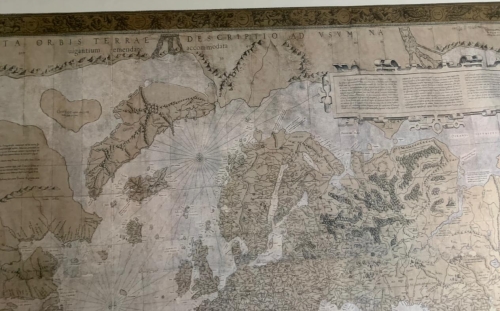
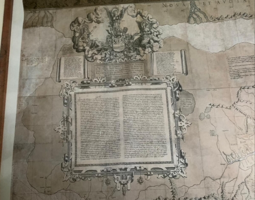
By the mid sixteenth century, what everyone needed was a flat map allowing seaborne navigators to plot long distances using a straight line that took into account the curvature of the earths surface. The result was Gerard Mercators enormous 1569 world map, called a Description of the Earth for Use in Navigation. It used a famous projection that lengthened the parallels north and south of the equator. As can be seen on this map, such a method created maximum distortion at the Polar regions, but was remarkably accurate either side of the equatorial regions, particularly when sailing east or west (as shown by the tiny ships in the Indian and Pacific oceans). By the eighteenth century the projection had been adopted almost universally by European navigators, and was adapted by nineteenth-century atlases extolling the virtues of the British Empire. This led to Mercator being accused of Eurocentrism, an unfair criticism of the map and the man, considering Europe is not at its center, and that Mercator had his own problems with authority, standing accused of heresy by the Catholic authorities in 1544.