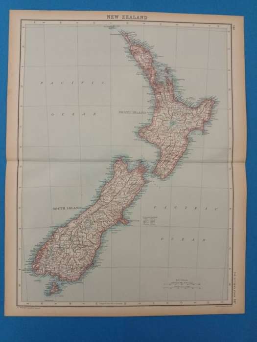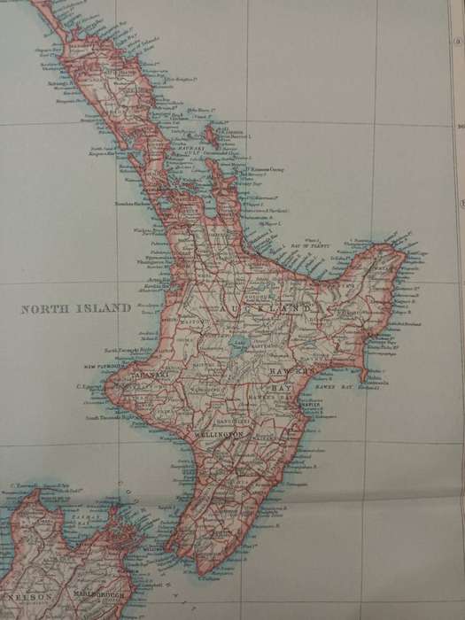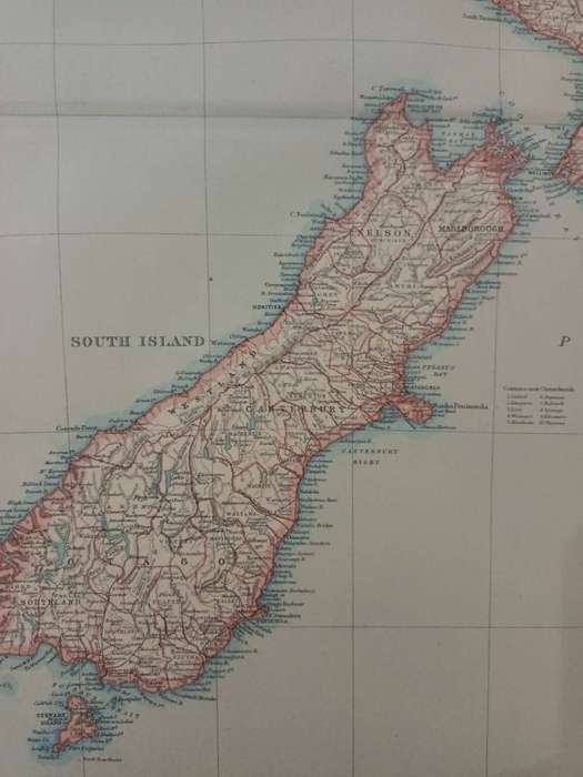


Map: New Zealand, 1924
Check my rate
| Main centres: | 1-3 business days |
| Regional areas: | 3-4 business days |
| Remote areas: | 3-5 business days |


| Main centres: | 1-3 business days |
| Regional areas: | 3-4 business days |
| Remote areas: | 3-5 business days |
Map of New Zealand, 1924.
Central fold. Light foxing in the margins. Very good condition.
In 1924, when this map was printed, NewZealand was a self-governing dominion within the British Empire, experiencing a period of relative political stability and economic prosperity. The country remained closely tied to Britain culturally and economically, relying heavily on agricultural exports such as wool, meat, and dairy. Socially, NewZealand was progressing, with the Labour movement gaining momentum and advocating for workers' rights, though indigenous Māori communities continued to face systemic inequality and land grievances. That year also marked a boost in national identity, as the New Zealand national rugby team, known as the "Invincibles," completed an undefeated tour of the British Isles, showcasing the country's growing presence on the world stage.
Large sheet, measuring 45 x 36 cm, including narrow margins.
Extracted from The Citizen's Atlas of the World, published in Edinburgh by John Bartholemew & Son, in 1924.
A real time capsule from the early post-World-War-One period.
Framed, this sheet would look great in a study or man-cave. It could be personalized with some vintage travel ephemera, such as baggage labels, train tickets, etc.