
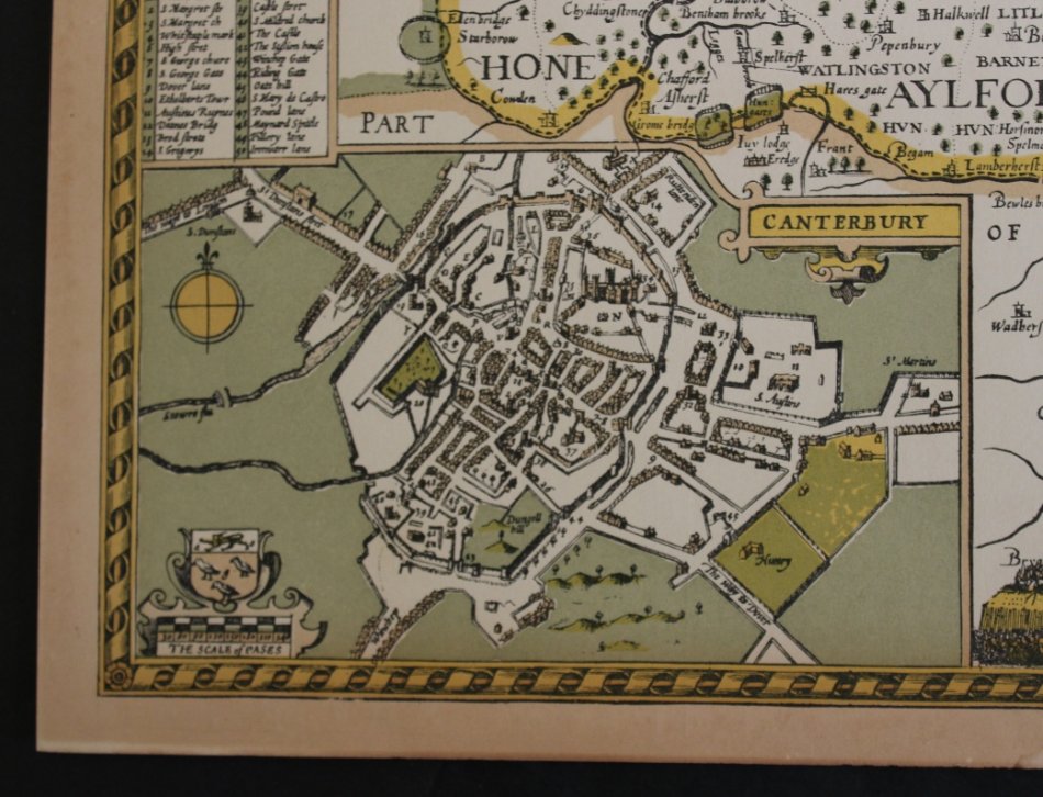
Map of Kent with Her Cities and Earles Described by John Speed, 1611, Reproduction print
Secondhand
Shipping
Standard courier shipping from R30
R30 Standard shipping using one of our trusted couriers applies to most areas in South Africa. Some areas may attract a R30 surcharge. This will be calculated at checkout if applicable.
Check my rate
Check my rate
Free collection from
Kuils River, Cape Town
The seller allows collection for this item and will be in contact with the full collection address once the order is ready.
Ready for collection by Wednesday, 8 May.
Ready to ship in
The seller has indicated that they will usually have this item
ready to ship within 3 business days. Shipping time depends on your delivery address. The most
accurate delivery time will be calculated at checkout, but in
general, the following shipping times apply:
Standard Delivery
| Main centres: | 1-3 business days |
| Regional areas: | 3-4 business days |
| Remote areas: | 3-5 business days |
Buyer Protection
How you're covered
Get it now, pay later
Returns
Product information
Condition:
Secondhand
Location:
South Africa
Area:
Europe
Time Period:
Post-1950
Type:
Political Map
Bob Shop ID:
612902637
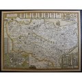
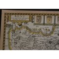
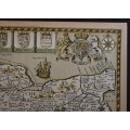
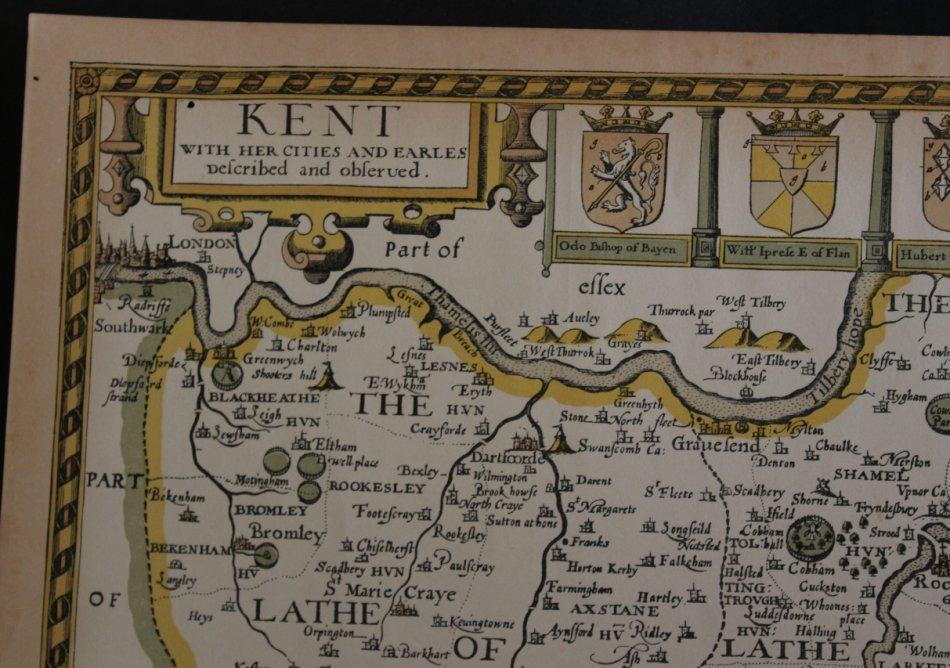
Title: Map of Kent With Her Cities and Earles by John Speed, 1611, Reproduction print.
Height: 42cm.
Width: 54cm.
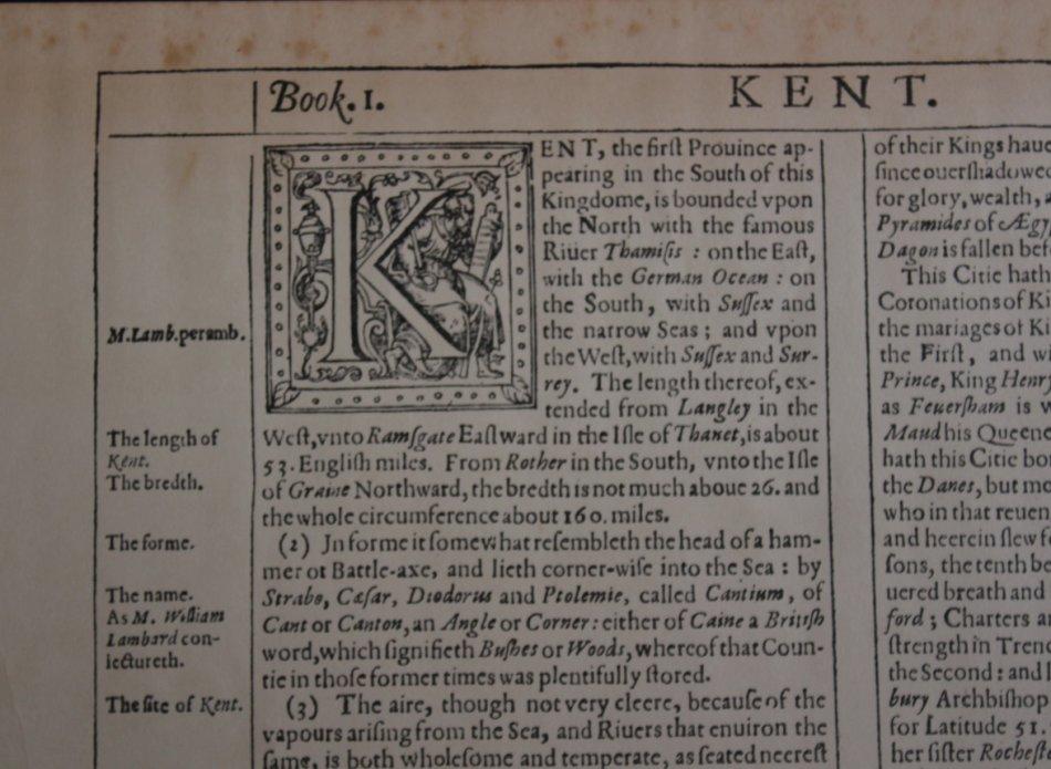
Info:KENT WITH HER CITIES AND EARLES described and observed.
A reproduction printed map of KENT (Kent with her cities and earles) by John Speed. The map was first published in Speed's Theatre of the Empire in 1611. This example is the rare Henry Overton edition published between 1710 and 1743. It includes the royal arms and seven coats-of-arms of nobility, a compass rose, mileage scale, and sailing ships on the Medway (Rochester inset plan) and on the coast near Sheerness. The boundaries and names of Kent's lathes are shown on the map and there are inset plans of Canterbury and Rochester. The map, which extends to the outskirts of London, shows towns, villages, hills, rivers and woodland, and for the first time on Speed's map of Kent, roads. This is a superbly detailed and popular map.
Condition: Printed Reproduction, Very Good, not framed, some foxing and a few minor pin holes.
Price: R 445.00 Inc Vat.
![]()