This item has closed with no items sold
View the relisted Item
View other items offered by CapeCollectables1254

Similar products

1906 Maps of Africa, New Zealand, Very Good condition, Original Cram Map
R225.00
‘A New and Accurate Map of England and Wales’ G. Cooke. Circa 1807. Ref. No. MP/6
R550.00
Free shipping
1859 New South Wales And Victoria Map by J. Bartholomew- Has a slight tear in the top middle
R4,999.99
Vintage Folded Map New Orleans Street Map Tourist Guide and City Plan 1990`s
R125.00
Map of New Zealand - Captain Cook voyage by J Bayly. Map of New Zealand - Captain Cook voyage by J Bayly. Map of New Zealand - Captain Cook voyage by J Bayly. Map of New Zealand - Captain Cook voyage by J Bayly. Map of New Zealand - Captain Cook voyage by J Bayly. Map of New Zealand - Captain Cook voyage by J Bayly. Map of New Zealand - Captain Cook voyage by J Bayly.
Map of New Zealand - Captain Cook voyage by J Bayly. Map of New Zealand - Captain Cook voyage by J Bayly. Map of New Zealand - Captain Cook voyage by J Bayly. Map of New Zealand - Captain Cook voyage by J Bayly.
Map of New Zealand - Captain Cook voyage by J Bayly.
+3
Closed

Map of New Zealand - Captain Cook voyage by J Bayly.

1 was available / secondhand
R595.00
Shipping
Free shipping is available from CapeCollectables for all orders above R1,500.00, using one of our trusted couriers.
Check my rate
The seller allows collection for this item. Buyers will receive the collection address and time once the order is ready.
The seller has indicated that they will usually have this item ready to ship within 3 business days. Shipping time depends on your delivery address. The most accurate delivery time will be calculated at checkout, but in general, the following shipping times apply:
 
Standard Delivery
Main centres:  1-3 business days
Regional areas: 3-4 business days
Remote areas: 3-5 business days
Buyer protection
Returns
Money-Back Guarantee: 7 Days: Refund if returned, excluding Postage.
Get it now, pay later

Product details

Condition
Secondhand
Location
South Africa
Area
Australasia
Time Period
Pre-1800s
Type
Political Map
Bob Shop ID
605875842

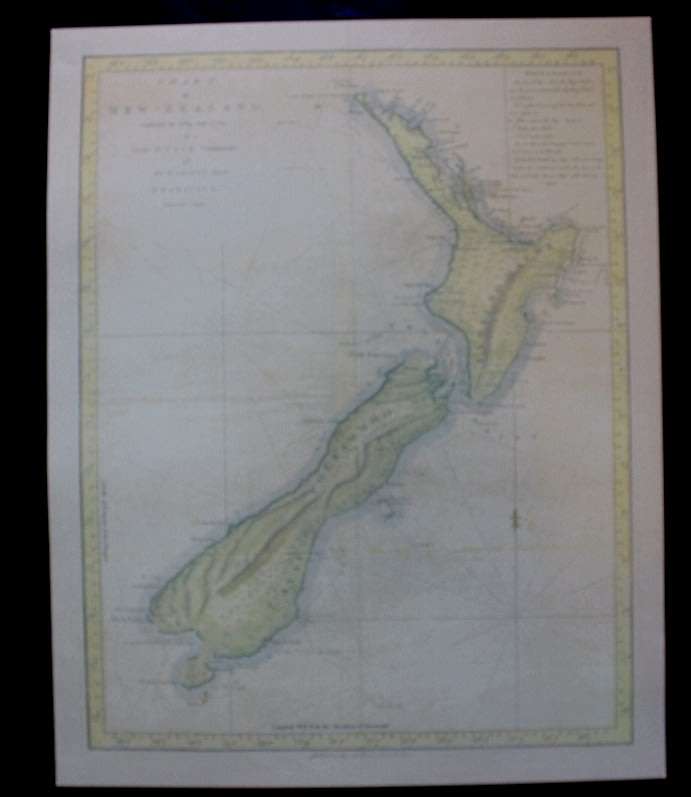
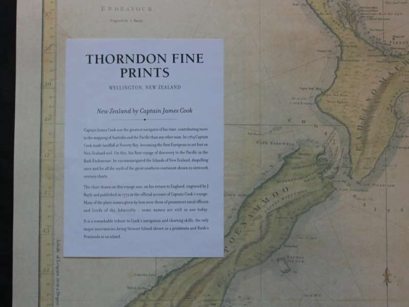
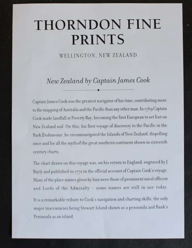
Title: Map of New Zealand by Captain James Cook, Published By Thorndon Fine Prints.
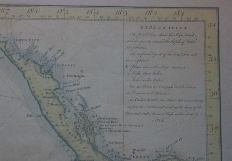
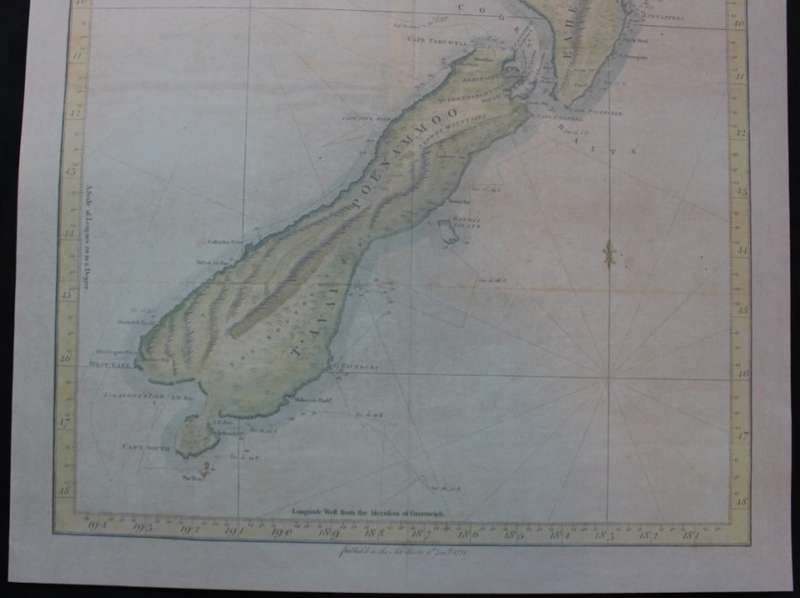
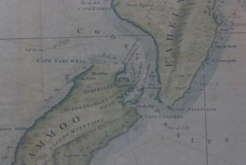
Chart of New Zealand Explored in 1769 and 1770 by Lieut. J Cook, Commander of His Majesty's bark Endeavour.
Publisher: Thorndon Fine Prints.
Format: Print.
Size: 43cm x 54cm.
Engraving: By J Bayly.
Info:
Beautifully engraved by J. Bayly in England from Cooks charts made in 1769 and 1770.
This map was originally published in the official account  of Captain Cooks voyage.
Superbly republished in a small edition by Thorndon Fine Prints.
It is a remarkable tribute to Cooks navigation and charting skills, the only major inaccuracies being
Stewart Island shown as a peninsula and Banks Peninsula as an island.
Condition: Excellent.
Map: Fine Printed Reproduction of an Original release.
Price: R 595.00 Inc Vat.


Recently viewed

See more
For Garmin Instinct 2 Solar Sports Breathable Silicone Watch Band(White+Black)
R294.11
32K x 8 HIGH-SPEED CMOS SRAM DIP28 IC61C256AH-10N
R31.05
Hard LCD Toughened Glass Screen Protection Film for NIKON D5300 D5400 D5500 D5600
R99.00
HP 147X Black LaserJet Toner Cartridge
R8,226.53