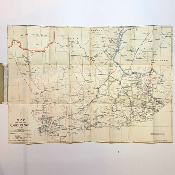
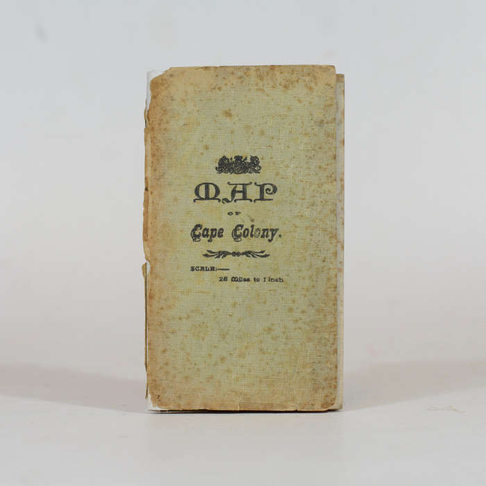
Map of the Cape Colony - Folding Map - Casgrain, Capt. R.H Du R Map of the Cape Colony - Folding Map - Casgrain, Capt. R.H Du R

Map of the Cape Colony - Folding Map - Casgrain, Capt. R.H Du R

1 available / new
Only 1 left – grab it before it’s gone!
R2,010.00
Shipping
R35.00 Standard shipping using one of our trusted couriers applies to most areas in South Africa. Some areas may attract a R30.00 surcharge. This will be calculated at checkout if applicable.
Check my rate
The seller has indicated that they will usually have this item ready to ship within 3 business days. Shipping time depends on your delivery address. The most accurate delivery time will be calculated at checkout, but in general, the following shipping times apply:
 
Standard Delivery
Main centres:  1-3 business days
Regional areas: 3-4 business days
Remote areas: 3-5 business days
Seller
Buyer protection
Get it now, pay later

Product details

Condition
New
Location
South Africa
Product code
305506
Bob Shop ID
592617225

Linen backed folding map of the Colony compiled during the Anglo-Boer War. 25 miles to 1 inch, Showing districts, towns, villages, railway stations, sidings and telegraph offices. 76 x 54cm. Very good condition with some repairs to the wraps.

Date Published: 1901

Add to cart

Recently viewed

See more
Push Button Station Start/Stop/Start Pb Adp2 B341 H29
R125.34
20% OFF
Gordon Haskell - Hambledon Hill
R40.00 R50.00
6pcs Multifunctional Clothes Rack Magic Space Saving Blue
R444.00
Wireless Microphone Set
R499.00

Similar products

Floods and Gales in Cape Colony - Cape Times
R1,230.00
Woordpaljas - R.H. Pheiffer
R70.00
Eastern Frontier of the Colony of the Cape of Good Hope... - Arrowsmith, John
R13,230.00
Pilanesberg official map and park guide - Jacana
R95.00