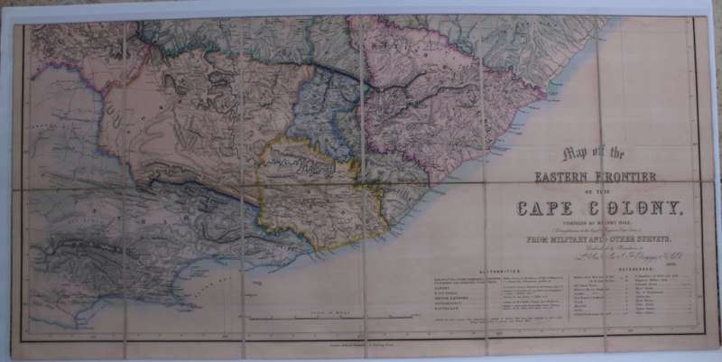
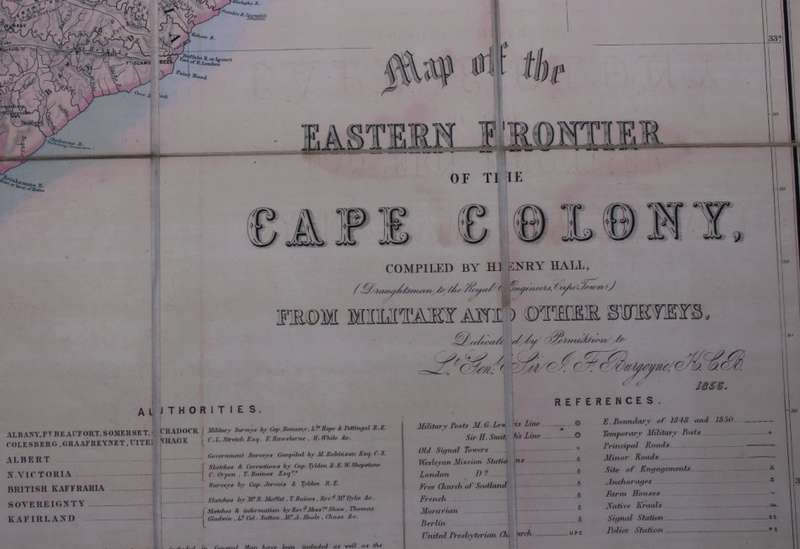
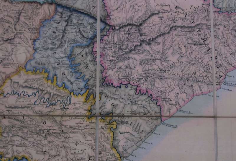
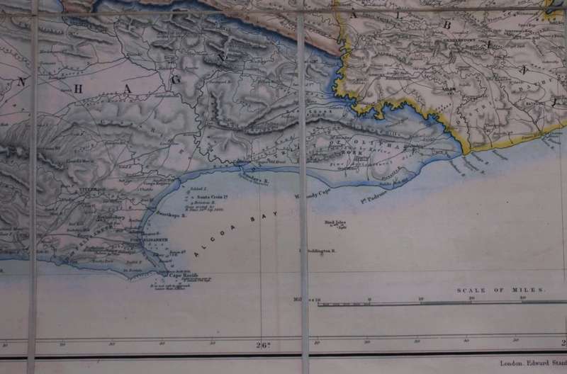
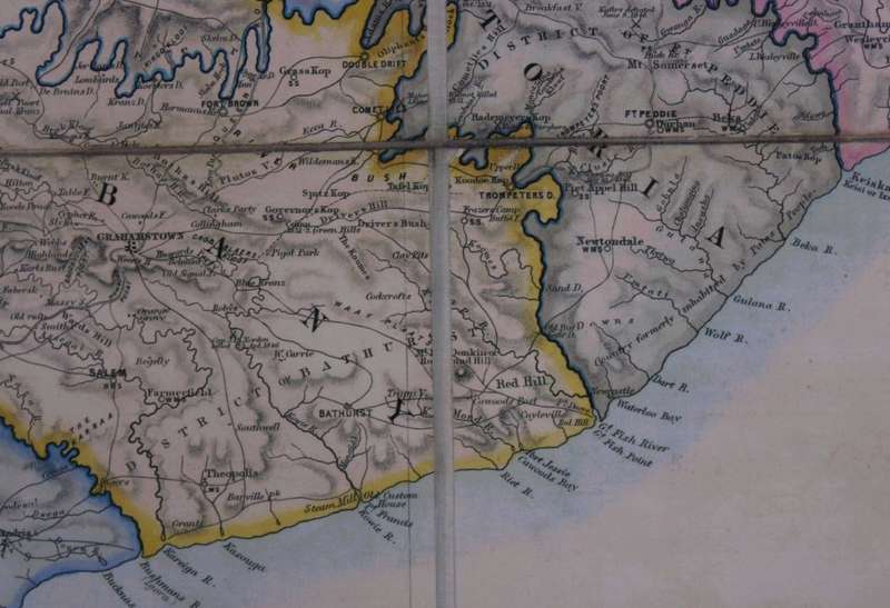
Map of the Eastern Frontier of the Cape Colony 1856, Reproduction Print Map of the Eastern Frontier of the Cape Colony 1856, Reproduction Print Map of the Eastern Frontier of the Cape Colony 1856, Reproduction Print Map of the Eastern Frontier of the Cape Colony 1856, Reproduction Print Map of the Eastern Frontier of the Cape Colony 1856, Reproduction Print Map of the Eastern Frontier of the Cape Colony 1856, Reproduction Print Map of the Eastern Frontier of the Cape Colony 1856, Reproduction Print
Map of the Eastern Frontier of the Cape Colony 1856, Reproduction Print Map of the Eastern Frontier of the Cape Colony 1856, Reproduction Print Map of the Eastern Frontier of the Cape Colony 1856, Reproduction Print Map of the Eastern Frontier of the Cape Colony 1856, Reproduction Print
Map of the Eastern Frontier of the Cape Colony 1856, Reproduction Print
+3

Map of the Eastern Frontier of the Cape Colony 1856, Reproduction Print

Secondhand 1 available
R295.00
Shipping
Free shipping is available from CapeCollectables for all orders above R1,500.00, using one of our trusted couriers.
Check my rate
The seller allows collection for this item. Buyers will receive the collection address and time once the order is ready.
The seller has indicated that they will usually have this item ready to ship within 3 business days. Shipping time depends on your delivery address. The most accurate delivery time will be calculated at checkout, but in general, the following shipping times apply:
 
Standard Delivery
Main centres:  1-3 business days
Regional areas: 3-4 business days
Remote areas: 3-5 business days
Seller
Buyer protection
Get it now, pay later

Product details

Condition
Secondhand
Location
South Africa
Area
Africa
Time Period
1800s
Type
Political Map
Product code
8325954
Bob Shop ID
630056211

Title: Map of the Eastern Frontier of the Cape Colony 1856, Reproduction Print.
Publisher: Compiled by Henry Hall, Draughtsman to the Royal Engineers, Cape Town from Military and Other Surveys dedicated by Permission to the Lt Gen Sir J F Burgoyne KCB 1856.
Height: 53cm.
Width: 104cm.
Info: Map of the Frontier in the Eastern CapeĀ  at the time of the Border Wars in the 1800's.
Scale: 1 Inch: 10 Miles
Format: Scanned and Printed on Poster Paper from the original, can be shipped in a Poster Tube.
Condition: Very Good, as new.
Price: R 295.00 Inc Vat.


Add to cart

Recently viewed

See more
USA - 2 Stamps Mounted (Hinged) On Album Page
Secondhand
R45.00 No bids
For Sony Xperia 5 VI Crocodile Top Layer Cowhide Leather Phone Case(Black)
New
R560.54
UNISA TEXTBOOK - GEOGRAPHY GGH1501/XGH1501
Secondhand
R225.00 No bids
Electrical Wooden Westclox
Secondhand
R450.00 No bids

Similar products

Jeppes Map Of The Transvaal 1899, Reproduction Print Wall Map Northern Tvl
New
R295.00
Map Of Cape Town 1884 Reproduction Poster Print
New
R295.00
Cape Peninsula 1934 - 80th Anniversary Surveys and Mapping, Set of 4 Maps, Reproduction Prints
Secondhand
R550.00
Cape of Good Hope 1853 Eastern Frontier Poster Map Digital Download
New
R295.00