This item has closed with no items sold
View other items offered by Heritage Trades1074

Similar products

Gauteng Provincial Map - Printed Map
R195.00
National geographic Africa poster map wall map
R270.00
Clan and Family Names Map of Scotland (Pictorial Map)
R170.00
Rustenburg map
R150.00
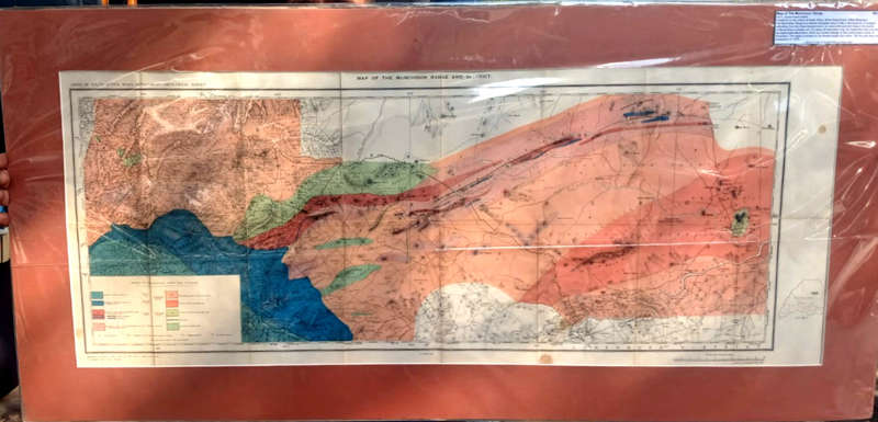
Map of the Murchison Range (1911)
Closed

Map of the Murchison Range (1911)

1 was available / secondhand
R2,000.00
Shipping
R35.00 Standard shipping using one of our trusted couriers applies to most areas in South Africa. Some areas may attract a R30.00 surcharge. This will be calculated at checkout if applicable.
Check my rate
The seller allows collection for this item. Buyers will receive the collection address and time once the order is ready.
The seller has indicated that they will usually have this item ready to ship within 2 business days. Shipping time depends on your delivery address. The most accurate delivery time will be calculated at checkout, but in general, the following shipping times apply:
 
Standard Delivery
Main centres:  1-3 business days
Regional areas: 3-4 business days
Remote areas: 3-5 business days
Buyer protection
Get it now, pay later

Product details

Condition
Secondhand
Location
South Africa
Bob Shop ID
624332513

Published by the mines department, Union of South Africa, 1911, offset lithograph,116 cms x 55.3 cms, condition: very good.

The Murchison Range is a narrow elongated topography in Limpopo extending from the Great Escarpment to Mozambique. About 80 kilometers in length the range runs parallel to  the Makhonjwa mountains which are directly located on the north -eastern border of Swaziland ( Eswatini ). The region is known for mineral wealth and mines with the first gold finds in 1872.