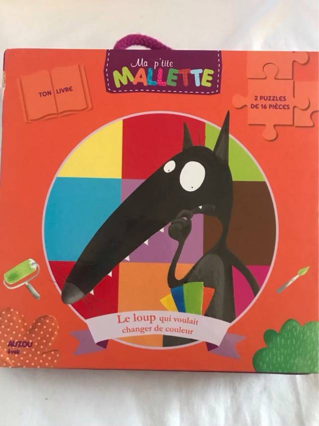
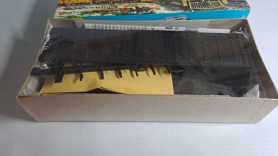
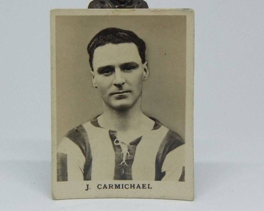
Similar products


| Main centres: | 1-3 business days |
| Regional areas: | 3-4 business days |
| Remote areas: | 3-5 business days |
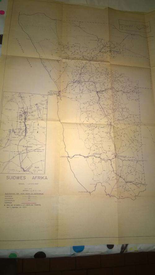
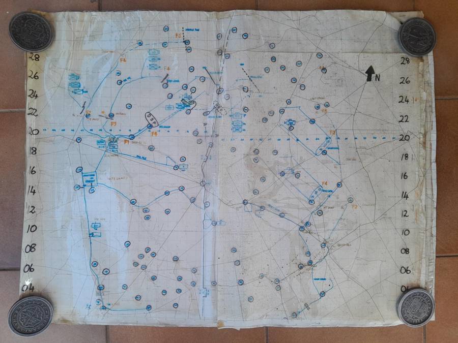
Printed Military map for the serious collector dated Feb 1977. It surely stirs nostalgia.
Suidwes Afrika Skaal 1:2 000 000 Sleutelplan van Hoof, Groot, en Distrikspaaie. This map was used by SA Army HQ in the planning of post OP Savannah military movement in SWA (Namibia). The original map was drafted in Oct 1975 and this map is the review of it dated Feb 1977. The photos below shows the whole map and some close-ups. It shows all the known routes at the time as well as two inlays, one of the Windhoek area and the other of the Caprivi. Also note the condition of the map - yellowing paper and folding tears on edges as photographed. No restoration is done on it as I believe it should be done professionally.
 COMPLETE MAP
 DATA BLOCK
 WINDHOEK INLAY
 SOUTH SECTION
 NE SECTION
 CENTRAL SECTION
 NW SECTION
 CAPRIVI INSERT & NE SECTION
 NE SECTION
DAMAGE: FOLDING TEARS