National Geographic A Travelers Map of the British Isles Poster Wall Map 1974 National Geographic A Travelers Map of the British Isles Poster Wall Map 1974 National Geographic A Travelers Map of the British Isles Poster Wall Map 1974 National Geographic A Travelers Map of the British Isles Poster Wall Map 1974 National Geographic A Travelers Map of the British Isles Poster Wall Map 1974 National Geographic A Travelers Map of the British Isles Poster Wall Map 1974 National Geographic A Travelers Map of the British Isles Poster Wall Map 1974 National Geographic A Travelers Map of the British Isles Poster Wall Map 1974
National Geographic A Travelers Map of the British Isles Poster Wall Map 1974 National Geographic A Travelers Map of the British Isles Poster Wall Map 1974 National Geographic A Travelers Map of the British Isles Poster Wall Map 1974 National Geographic A Travelers Map of the British Isles Poster Wall Map 1974
National Geographic A Travelers Map of the British Isles Poster Wall Map 1974
+4

National Geographic A Travelers Map of the British Isles Poster Wall Map 1974

1 available / secondhand
R295.00
Shipping
Free shipping is available from CapeCollectables for all orders above R1,500.00, using one of our trusted couriers.
Check my rate
The seller allows collection for this item. Buyers will receive the collection address and time once the order is ready.
The seller has indicated that they will usually have this item ready to ship within 3 business days. Shipping time depends on your delivery address. The most accurate delivery time will be calculated at checkout, but in general, the following shipping times apply:
 
Standard Delivery
Main centres:  1-3 business days
Regional areas: 3-4 business days
Remote areas: 3-5 business days
Seller
Buyer protection
Get it now, pay later

Product details

Condition
Secondhand
Location
South Africa
Area
Europe
Time Period
Post-1950
Type
Political Map
Product code
8326799
Bob Shop ID
630989003

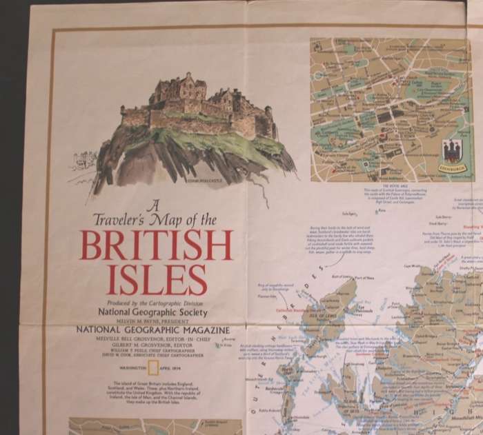
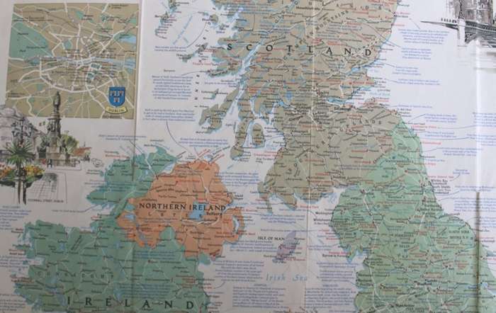
Title: National Geographic A Travelers Map of the British Isles Poster Wall Map, April 1974.
Publisher: National Geographic Society, Washington USA.
Height: 83cm.
Width: 58cm.
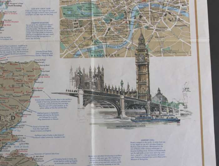
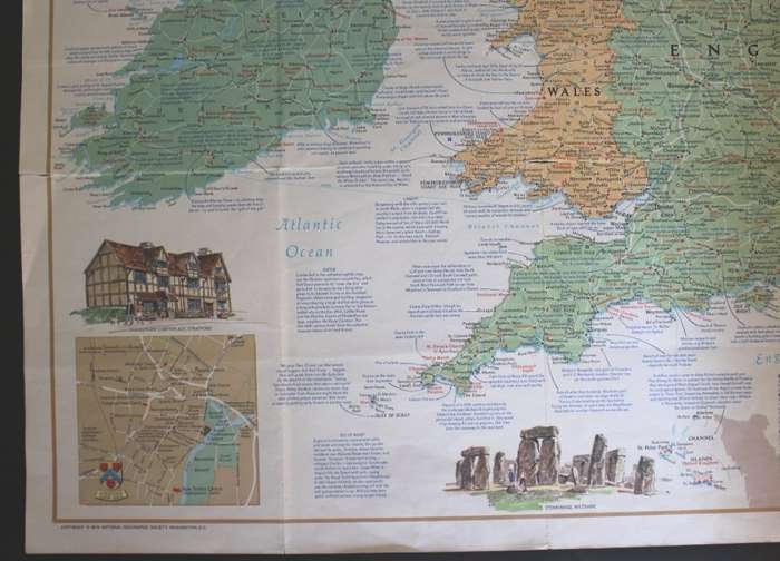
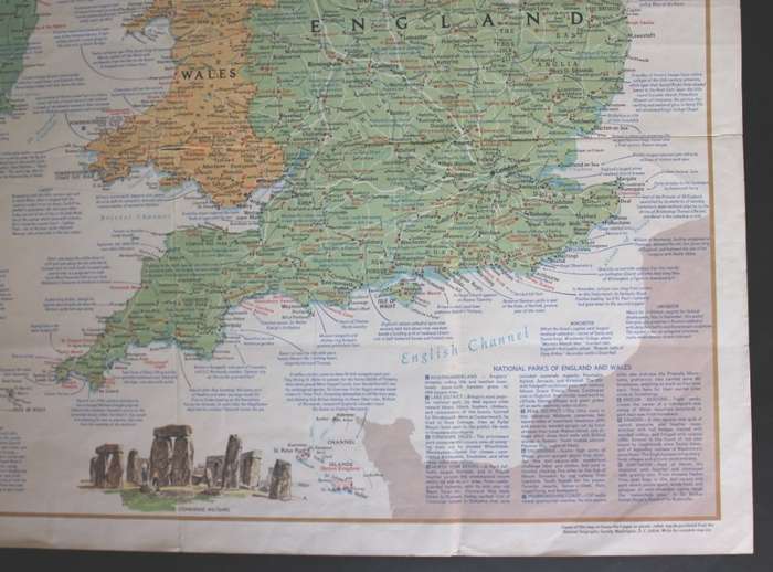
Info: Illustrations of Stonehenge, Shakespeare House, Fountain Avbbey, O'Connel Street Dublin, Westminster Bridge and Big Ben, London, Edinburgh Castle.
Filled with data and information of places of interest in the British Isles.
Insets of Dublin City Centre, London and Edinburgh.
Condition: Good, Folded NG Wall Map.
Price: R 295.00 Inc Vat.


Add to cart

Recently viewed

See more
10 Sen Negara Malaysia 1990 - 1993 + 1995 - 1999
R40.00 No bids
Pair of Antique Windsor Chairs
R3,350.00
Championship Sports Bag - Navy
R482.00
1pc 12g Sinking Metal Jig Silvery Trolling Hard Bait Bass Fishing Bait Fishing Tackle For Saltwa
R238.00 No bids

Similar products

Vintage National Geographic Folded Map A Travelers Map of Italy June 1970.
R225.00
National geographic Africa poster map wall map
R270.00
13% OFF
WORLD WALL MAP National Geographic
R1,050.00 R1,200.00
National Geographic Folded Map A Travelers Map of Spain and Portugal Oct 1984
R145.00