National Geographic Africa 1909 Poster Map Digital Download National Geographic Africa 1909 Poster Map Digital Download National Geographic Africa 1909 Poster Map Digital Download National Geographic Africa 1909 Poster Map Digital Download National Geographic Africa 1909 Poster Map Digital Download National Geographic Africa 1909 Poster Map Digital Download National Geographic Africa 1909 Poster Map Digital Download
National Geographic Africa 1909 Poster Map Digital Download National Geographic Africa 1909 Poster Map Digital Download National Geographic Africa 1909 Poster Map Digital Download National Geographic Africa 1909 Poster Map Digital Download
National Geographic Africa 1909 Poster Map Digital Download
+3

National Geographic Africa 1909 Poster Map Digital Download

Digital product
New 1 available
Only 1 left – grab it before it’s gone!
R295.00
Shipping
This is a digital product (eg. voucher, product license, service, etc.) and does not require shipping. The seller will be in contact to deliver this product to you electronically.
The seller has indicated that they will usually have this item ready to ship within 3 business days. Shipping time depends on your delivery address. The most accurate delivery time will be calculated at checkout, but in general, the following shipping times apply:
 
Standard Delivery
Main centres:  1-3 business days
Regional areas: 3-4 business days
Remote areas: 3-5 business days
Seller
Buyer protection
Get it now, pay later

Product details

Condition
New
Location
South Africa
Area
Africa
Time Period
1900-1950
Type
Political Map
Product code
8326135
Bob Shop ID
630336203

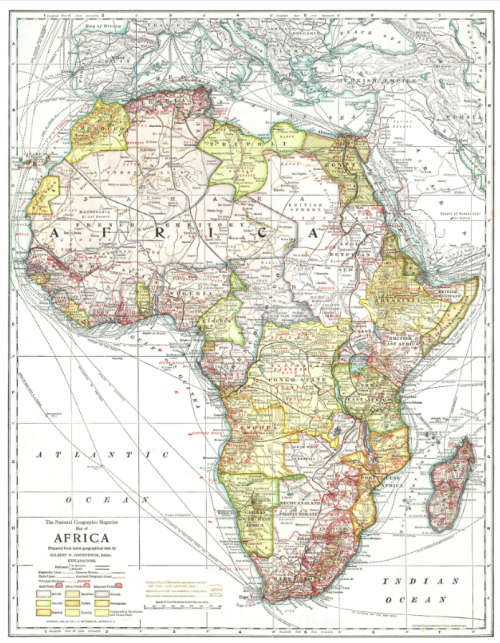
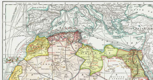
Title: National Geographic Africa 1909 Poster Map Digital Download.
Publisher: National Geographic.
Year: 1909.
Scale: Approx 1: 7 000 000 / 1cm = 70Kms.
File Type: Tif File Image.
File Size:  3.94 MB.
Printed Size when printed up to: About 60cm x 40cm.
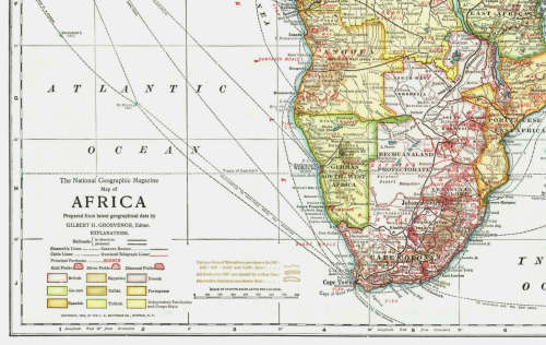
Info: Prepared from latest geographical data by Gilbert H Grosvenor, Editor.
Supplement to the National Geographic Magazine 1909.
Prepared by J N Mathews Co, Buffalo, New York.
The Mathews-Northrup Works, Buffalo, New York.
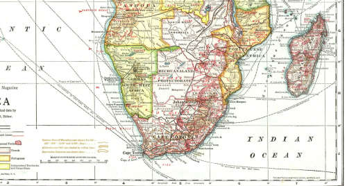
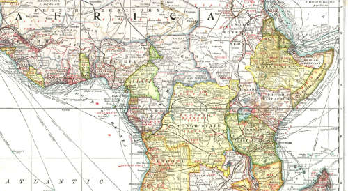
The map depicts mineral exploration of the time as well as Shipping Routes, Telegraph Routes and Caravan Routes across Africa in the early part of the 1900's as well the Colonies of the European Powers at the time.
Condition: Digital Download.
Price: R 295.00 Inc Vat.
On completion of the order and receipt of payment a WeTransfer link will be forwarded to your e-mail address for downloading of the file.


Add to cart

Recently viewed

See more
Springbok Saga - Chris Greyevenstein - 1978 - Rugby history since 1891 (a2)
Secondhand
R250.00
1Pc Black For iPhone 7 8 Se2 Se3 Phone Case Phone Cover
New
R115.00 No bids
1943 Union Quarter Penny 1/4d Farthing
Secondhand
R95.00 No bids
45% OFF
1Pc Black For iPhone 15 Plus Phone Case Phone Cover
New
R139.00 R252.00

Similar products

National geographic Africa poster map wall map
Secondhand
R270.00
Cape Colony 1901 Poster Map Digital Download
New
R295.00
13% OFF
WORLD WALL MAP National Geographic
Secondhand
R1,050.00 R1,200.00
Bains Railways Map of South Africa Digital Map Download
Secondhand
R295.00