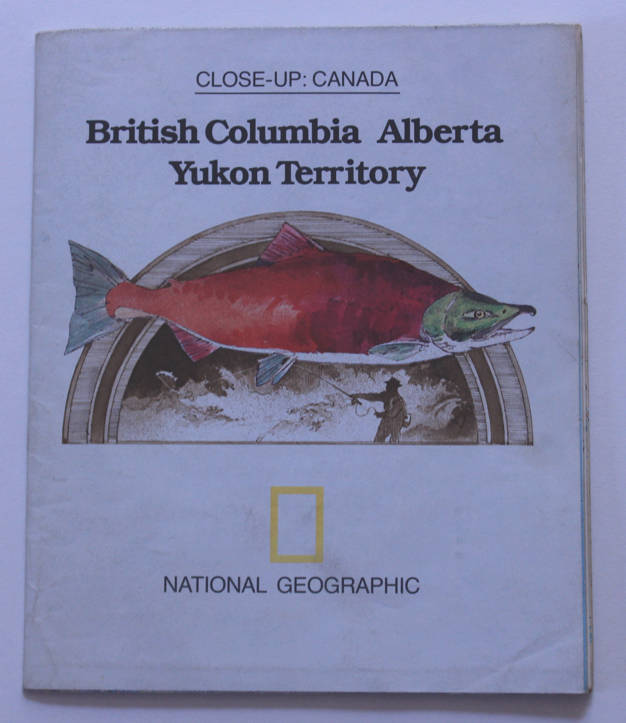
National Geographic Folded Map British Columbia, Alberta and Yukon Territory April 1978
Secondhand
1 was available
R195.00
0% off
Shipping
Free shipping is available from CapeCollectables for all orders above R1,500.00, using one of our trusted couriers. Check my rate
The seller allows collection for this item. Buyers will receive the collection address and time once the order is ready.
The seller has indicated that they will usually have this item
ready to ship within 3 business days.
Shipping time depends on your delivery address.
The most accurate delivery time will be calculated at checkout,
but in general, the following shipping times apply:
Money-Back Guarantee:
7 Days: Excludes Cost Of Return Shipping
Get it now, pay later
Product details
Condition
Secondhand
Location
South Africa
Area
The Americas
Time Period
Post-1950
Type
Political Map
Bob Shop ID
661832563
Title: National Geographic Folded Map British Columbia, Alberta and Yukon Territory April 1978. Publisher: National Geographic Society, April 1978. Format: Folded Map. Height: 69.0cm. Width: 57.0cm. Scale: 1 Centimetre = 35Km's. Info: From the Close Up of Canada Series by National Geographic a beautful map of North East Canada full of great detail and information. The Reverse of the Map has has information of the area entitled Beauty to flaunt and Bounty To Grow On. This map will be ideal for the Geography classroom or in any library or study etc. Condition: Very Good, unmarked and unused, as new, an old map still in good condition. Price: R 195.00 Inc Vat.