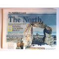
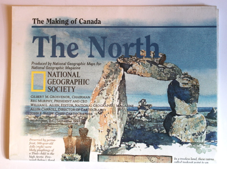
National Geographic Folded Map of The North of Canada September 1997
Secondhand
Shipping
Standard courier shipping from R30
R30 Standard shipping using one of our trusted couriers applies to most areas in South Africa. Some areas may attract a R30 surcharge. This will be calculated at checkout if applicable.
Check my rate
Check my rate
Free collection from
Kuils River, Cape Town
The seller allows collection for this item and will be in contact with the full collection address once the order is ready.
Ready for collection by Monday, 20 May.
Ready to ship in
The seller has indicated that they will usually have this item
ready to ship within 3 business days. Shipping time depends on your delivery address. The most
accurate delivery time will be calculated at checkout, but in
general, the following shipping times apply:
Standard Delivery
| Main centres: | 1-3 business days |
| Regional areas: | 3-4 business days |
| Remote areas: | 3-5 business days |
Returns
Get it now, pay later
Seller
Buyer Protection
Product details
Condition
Secondhand
Location
South Africa
Area
The Americas
Time Period
Post-1950
Type
Political Map
Bob Shop ID
614086786
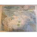
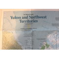
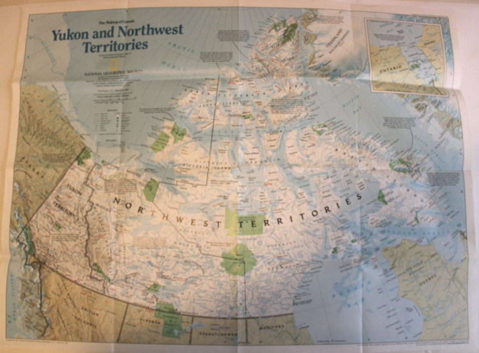
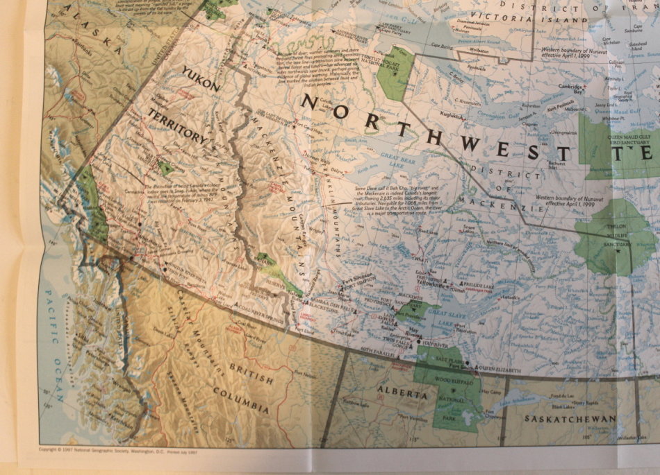
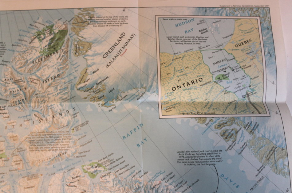
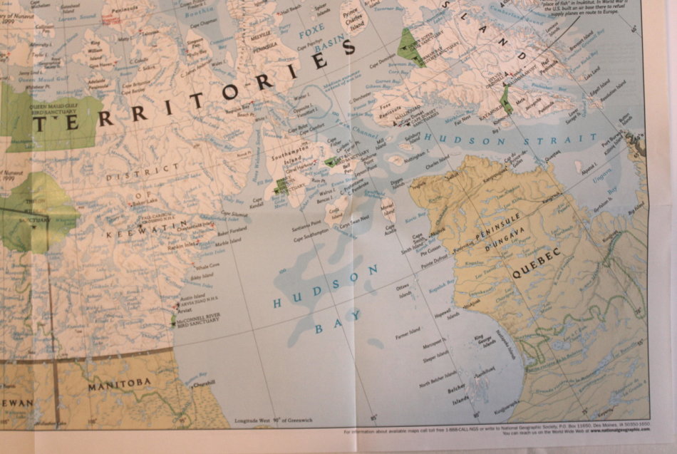
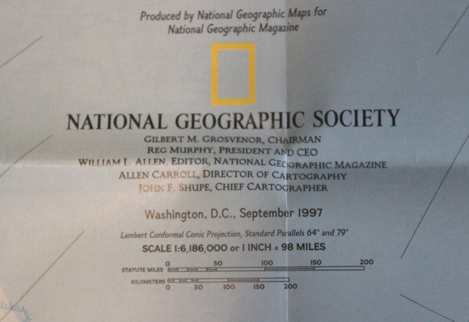
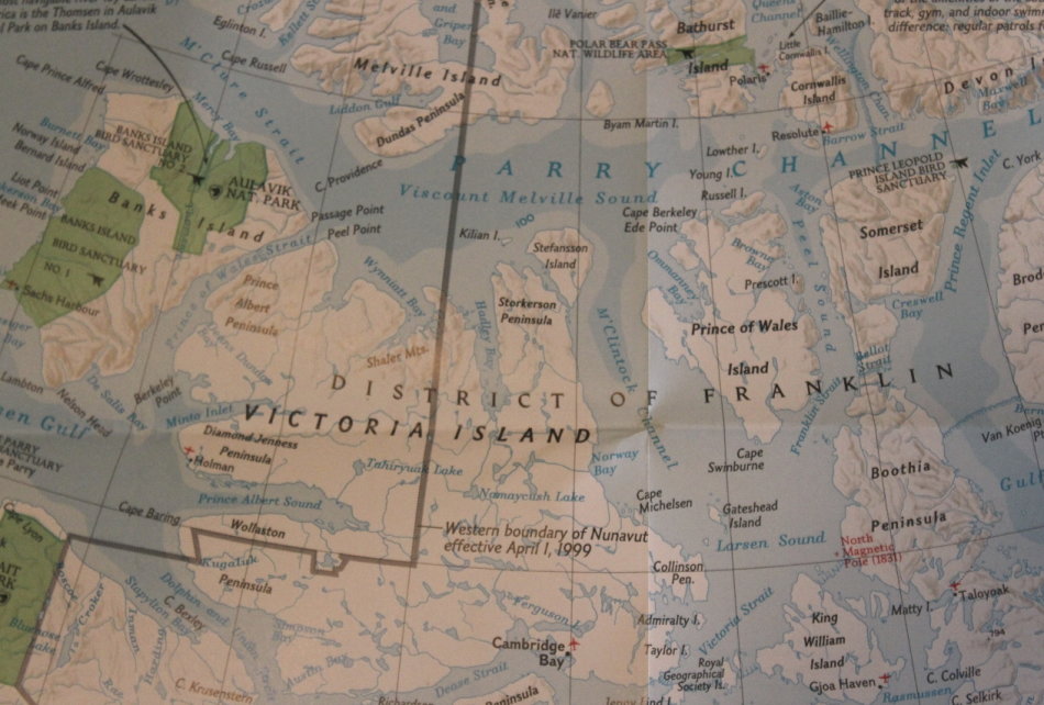
Title: National Geographic Folded Map of The North of Canada September 1997.
Publisher: National Geographic Society, September 1997.
Series: The Making Of Canada.
Format: Folded Map.
Height: 52 cm.
Width: 68 cm.
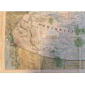
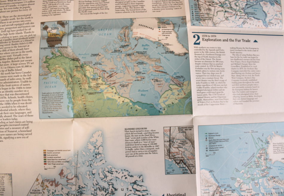
Info: Yukon and the Northwest Territories of Canada are featured in the National Geographic style of informative maps. Including the Northwest Territories and the Arctic Ocean Region, Queen Elizabeth Islands with Baffin Island and Hudson Bay. A beautifully illustrated map of the Waterways of Northern Canada. The reverse has the history of the early explorers and opening up of the areas.
Scale: 1: 6 186 000 / 1 Inch = 98 Miles.
Condition: Very Good, As New, a clean unused Map in excellent condition.
Price: R 195.00 Inc Vat.
![]()
![]()