National Geographic Folded Map Of The North West United States June 1950 National Geographic Folded Map Of The North West United States June 1950 National Geographic Folded Map Of The North West United States June 1950 National Geographic Folded Map Of The North West United States June 1950 National Geographic Folded Map Of The North West United States June 1950 National Geographic Folded Map Of The North West United States June 1950 National Geographic Folded Map Of The North West United States June 1950 National Geographic Folded Map Of The North West United States June 1950 National Geographic Folded Map Of The North West United States June 1950 National Geographic Folded Map Of The North West United States June 1950 National Geographic Folded Map Of The North West United States June 1950 National Geographic Folded Map Of The North West United States June 1950 National Geographic Folded Map Of The North West United States June 1950
National Geographic Folded Map Of The North West United States June 1950 National Geographic Folded Map Of The North West United States June 1950 National Geographic Folded Map Of The North West United States June 1950 National Geographic Folded Map Of The North West United States June 1950
National Geographic Folded Map Of The North West United States June 1950
+9

National Geographic Folded Map Of The North West United States June 1950

Secondhand 1 available
R295.00
Shipping
Free shipping is available from CapeCollectables for all orders above R1,500.00, using one of our trusted couriers.
Check my rate
The seller allows collection for this item. Buyers will receive the collection address and time once the order is ready.
The seller has indicated that they will usually have this item ready to ship within 3 business days. Shipping time depends on your delivery address. The most accurate delivery time will be calculated at checkout, but in general, the following shipping times apply:
 
Standard Delivery
Main centres:  1-3 business days
Regional areas: 3-4 business days
Remote areas: 3-5 business days
Seller
Buyer protection
Get it now, pay later

Product details

Condition
Secondhand
Location
South Africa
Area
The Americas
Time Period
1900-1950
Type
Political Map
Product code
8325710
Bob Shop ID
629935078

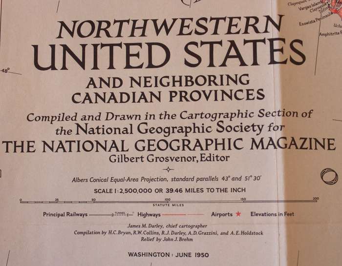
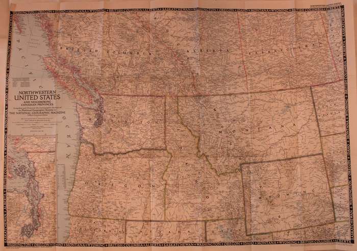
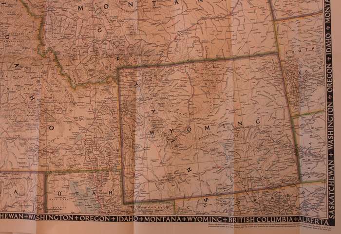
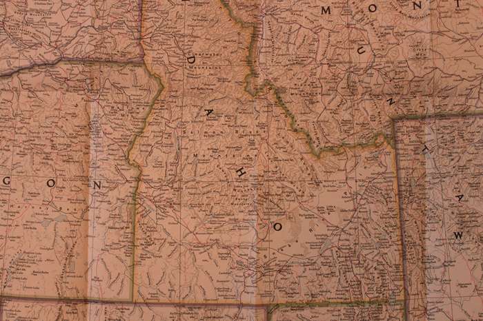
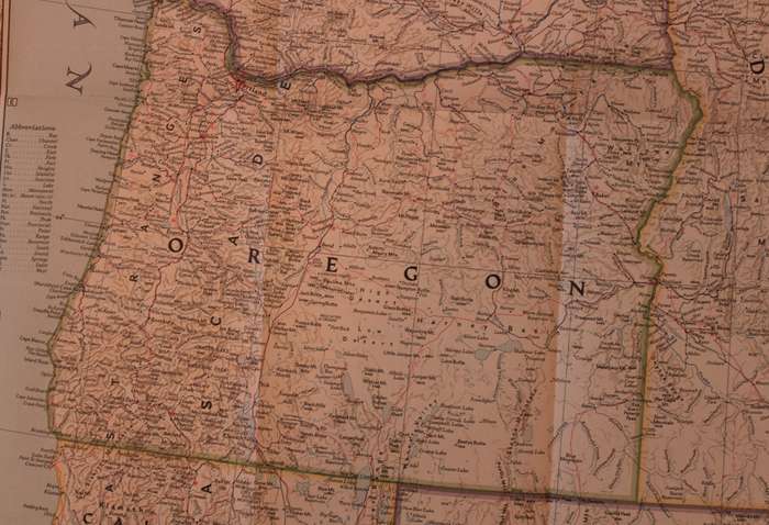
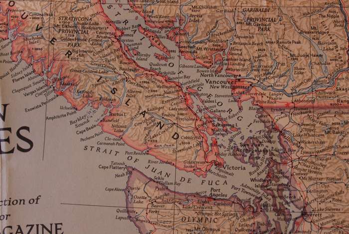
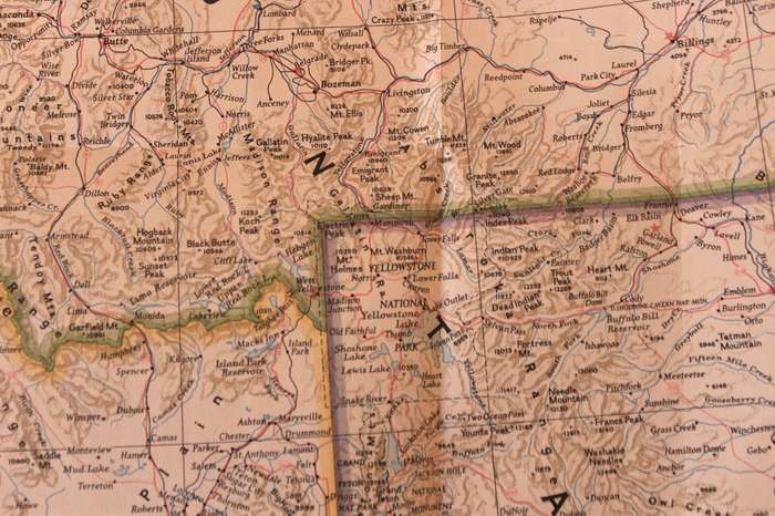
Title: National Geographic Folded Map Of The North West United States June 1950
Publisher: National Geographic Society, June 1950.
Format: Folded Map.
Height: 63cm.
Width:  90cm.
Scale: 1: 2 500 000  / 1 Inch = 39.46 Miles.
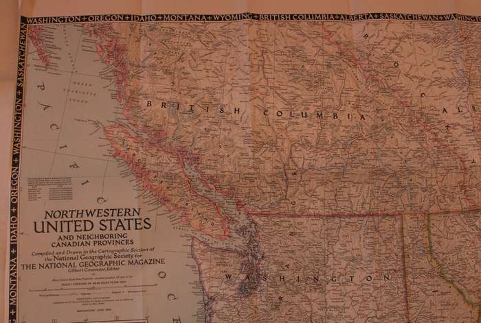
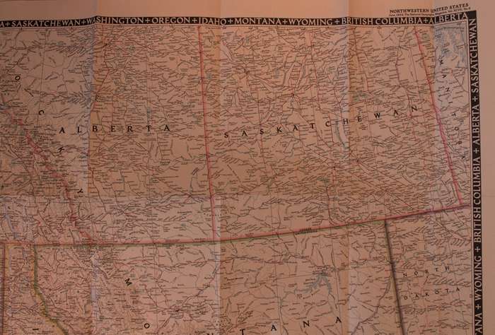
Info: A folded map of thge North Western United States including the neighbouring Canadian Provinces. The Map includes the following states from the USA; Washington, Montana, Idaho, Oregon, Wyoming, with parts of the Canadian provinces of Saskatchewan, Alberta, and British Columbia.
The Reverse of the Map is blank.
Condition: Very Good, unmarked and unused, the left edge of the map has been trimmed to fit into the Book from 1950.
Price: R 295.00 Inc Vat.


Add to cart

Recently viewed

See more
HP 19.5V 4.62A 90W Blue Tip Generic Replacement Charger
New
R299.00
33% OFF
Ingco Pressure Sprayer 8L
New
R339.00 R509.00
Auto Coolant Expansion Tank Vent Hose Radiator Hose 8R0121081AD for Q5 Auto Parts
New
R511.00
For Canon EOS 650D / EOS 700D OEM USB Cover Cap
New
R202.00

Similar products

National Geographic Folded Map of The North Central States of the USA, March 1974
Secondhand
R195.00
Vintage National Geographic Folded Map of Europe June 1969
Secondhand
R295.00
National Geographic Folded Map of The North of Canada September 1997
Secondhand
R195.00
National Geographic Folded Map of The March Toward Extinction June 1989
Secondhand
R95.00