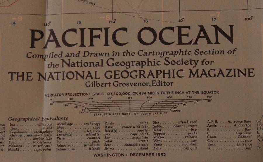
National Geographic Folded Map of The Pacific Ocean December 1952. National Geographic Folded Map of The Pacific Ocean December 1952. National Geographic Folded Map of The Pacific Ocean December 1952. National Geographic Folded Map of The Pacific Ocean December 1952. National Geographic Folded Map of The Pacific Ocean December 1952. National Geographic Folded Map of The Pacific Ocean December 1952. National Geographic Folded Map of The Pacific Ocean December 1952. National Geographic Folded Map of The Pacific Ocean December 1952. National Geographic Folded Map of The Pacific Ocean December 1952. National Geographic Folded Map of The Pacific Ocean December 1952.
National Geographic Folded Map of The Pacific Ocean December 1952. National Geographic Folded Map of The Pacific Ocean December 1952. National Geographic Folded Map of The Pacific Ocean December 1952. National Geographic Folded Map of The Pacific Ocean December 1952.
National Geographic Folded Map of The Pacific Ocean December 1952.
+6

National Geographic Folded Map of The Pacific Ocean December 1952.

Secondhand 1 available
R295.00
Shipping
Free shipping is available from CapeCollectables for all orders above R1,500.00, using one of our trusted couriers.
Check my rate
The seller allows collection for this item. Buyers will receive the collection address and time once the order is ready.
The seller has indicated that they will usually have this item ready to ship within 3 business days. Shipping time depends on your delivery address. The most accurate delivery time will be calculated at checkout, but in general, the following shipping times apply:
 
Standard Delivery
Main centres:  1-3 business days
Regional areas: 3-4 business days
Remote areas: 3-5 business days
Seller
Buyer protection

Product details

Condition
Secondhand
Location
South Africa
Area
The Americas
Time Period
Post-1950
Type
Political Map
Product code
8325230
Bob Shop ID
629536239

Title: National Geographic Folded Map of The Pacific Ocean December 1952.
Publisher: National Geographic Society, December 1952.
Format: Folded Map.
Height: 73cm.
Width:  93cm.
Scale: 1:27 500 000 / 1 Inch = 434 Miles at the Equator.
Info: A folded map of the Pacific Ocean from National Geographic, includes the North and South Pacific Ocean with Austyralia, New Zealand and Japan as well as insets of all the major islands.
The Reverse of the Map is blank.
Condition: Very Good, unmarked and unused, as new.
Price: R 295.00 Inc Vat.


Add to cart

Recently viewed

See more
50% OFF
For vivo NEX S Original Middle Frame Bezel Plate(Red)
New
R520.00 R1,040.00
Rfid Card Iso M1 13.56 M Hz Fudan M1,13.56 M Hz
New
R14.94
Conversations by Avril Herber | 27 Conversations with South Africans - Kani, Brinnk, Uys, etc
Secondhand
R95.00
Mosfet n-ch 100v 10a to220 irl520npbf
New
R76.86

Similar products

National Geographic Folded Map Arctic Ocean Oct 1971
Secondhand
R195.00
National Geographic Folded Map of Western Europe December 1950.
Secondhand
R295.00
National Geographic Folded Map Arctic Ocean February 1983
Secondhand
R195.00
National Geographic Folded Map of the Northern Plains of the USA December 1986
Secondhand
R195.00