National Geographic Folded Map of The United States July 1976 National Geographic Folded Map of The United States July 1976 National Geographic Folded Map of The United States July 1976 National Geographic Folded Map of The United States July 1976 National Geographic Folded Map of The United States July 1976 National Geographic Folded Map of The United States July 1976 National Geographic Folded Map of The United States July 1976 National Geographic Folded Map of The United States July 1976 National Geographic Folded Map of The United States July 1976 National Geographic Folded Map of The United States July 1976 National Geographic Folded Map of The United States July 1976 National Geographic Folded Map of The United States July 1976 National Geographic Folded Map of The United States July 1976 National Geographic Folded Map of The United States July 1976 National Geographic Folded Map of The United States July 1976
National Geographic Folded Map of The United States July 1976 National Geographic Folded Map of The United States July 1976 National Geographic Folded Map of The United States July 1976 National Geographic Folded Map of The United States July 1976
National Geographic Folded Map of The United States July 1976
+11

National Geographic Folded Map of The United States July 1976

Secondhand 1 available
R295.00
Shipping
Free shipping is available from CapeCollectables for all orders above R1,500.00, using one of our trusted couriers.
Check my rate
The seller allows collection for this item. Buyers will receive the collection address and time once the order is ready.
The seller has indicated that they will usually have this item ready to ship within 3 business days. Shipping time depends on your delivery address. The most accurate delivery time will be calculated at checkout, but in general, the following shipping times apply:
 
Standard Delivery
Main centres:  1-3 business days
Regional areas: 3-4 business days
Remote areas: 3-5 business days
Seller
Buyer protection
Get it now, pay later

Product details

Condition
Secondhand
Location
South Africa
Area
The Americas
Time Period
Post-1950
Type
Political Map
Product code
8325450
Bob Shop ID
629708195

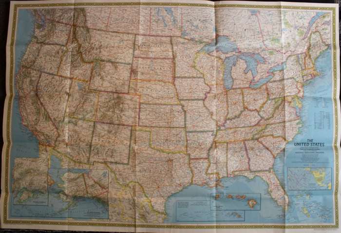
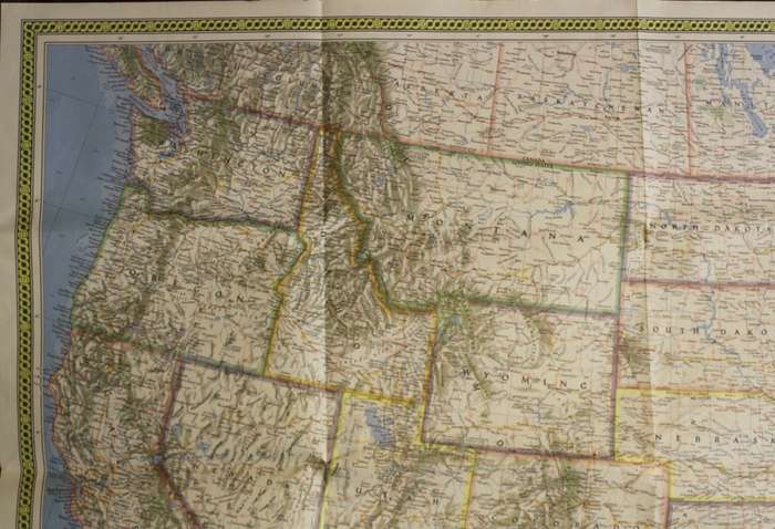
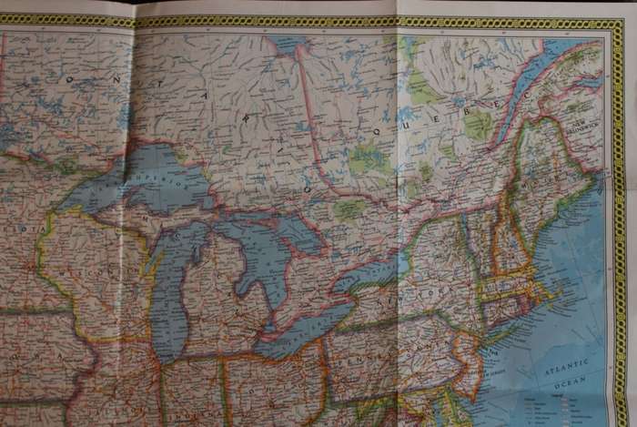
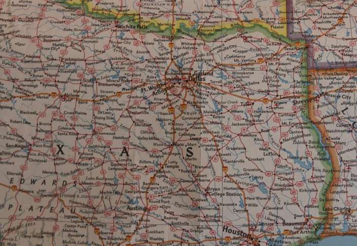
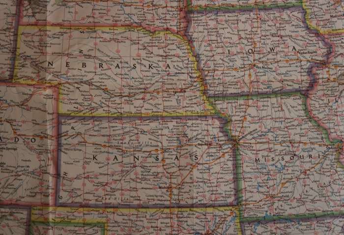
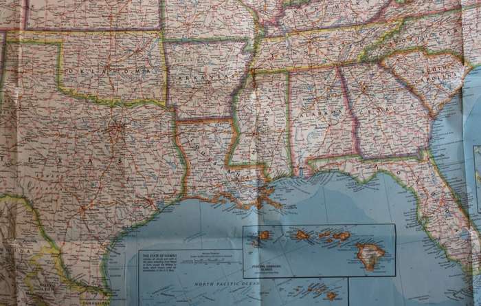
 Title: National Geographic Folded Map of The United States July 1976.
Publisher: National Geographic Society, July 1976.
Format: Folded Map.
Height:  74 cm.
Width:  108 cm.
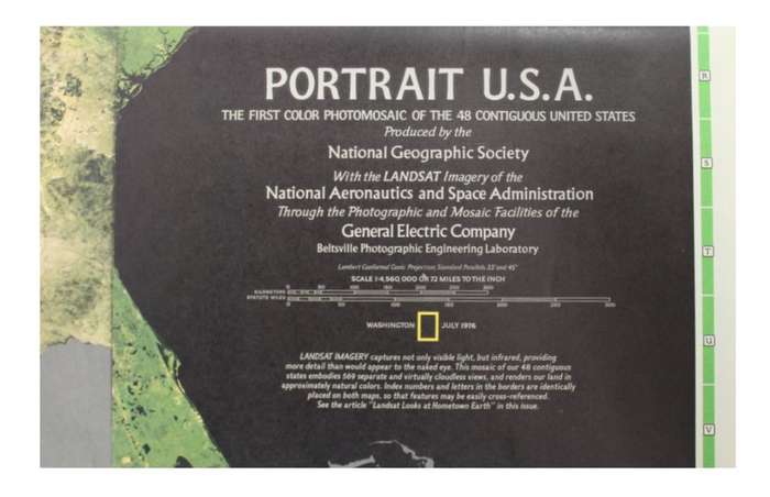
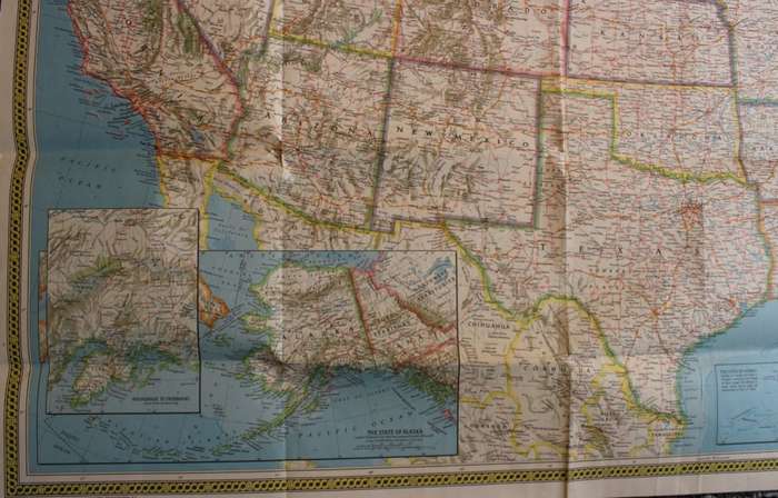
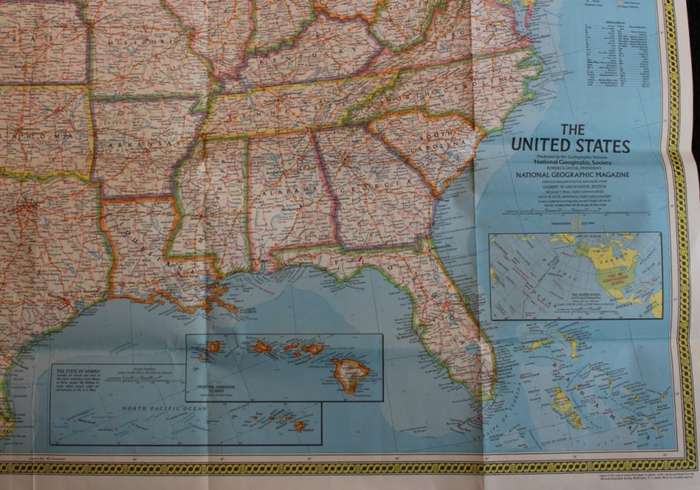
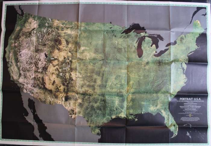
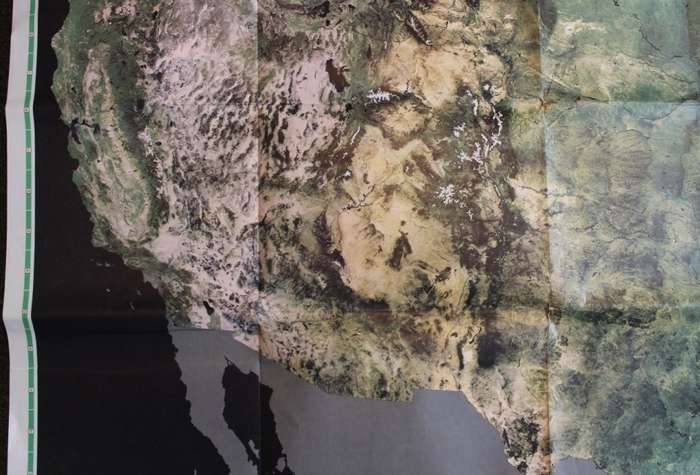
Info: A beautiful large map of the United States of America by National Geographic. A classic style map of the States with an old style border along the edge. Wonderful for framing in the USA style bar, restaurant or in the study. The reverse has an intersting graphic of "The First Colour Photomosaic of the 48 Contiguous United States" by the LandSat imagery of The National Aeronautics and Space Administration (NASA.) 
Scale: 1: 4 560 000 / 1 Inch = 72 Miles.
Condition: Very Good, As New, a clean unused Map in excellent condition.
Price: R 295.00 Inc Vat.


Add to cart

Recently viewed

See more
45% OFF
1Pc Black For iPhone 12 Pro Max Phone Case Phone Cover
New
R132.00 R240.00
6 x Stainless steel pinch bail in Gold, 8mm
New
R16.00
Italian Charm Diamante 'Champagne' Encased in 'Silver' Dangle (Fits Nomination Bracelet)
New
R45.00
Free shipping
Lotus Women's Watch (18932_1)
New
R3,776.05

Similar products

National Geographic Folded Map of France July 1989
Secondhand
R195.00
Large National Geographic Folded Map of The Peoples Republic of China July 1980.
Secondhand
R195.00
Large National Geographic Folded Map United States Nov 1993
Secondhand
R295.00
National Geographic Folded Map The Romans Roman Empire Map July 1977
Secondhand
R195.00