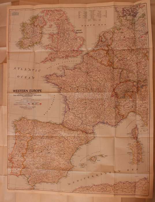
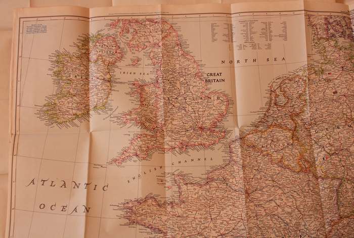
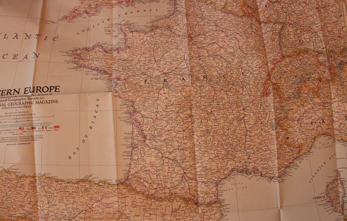
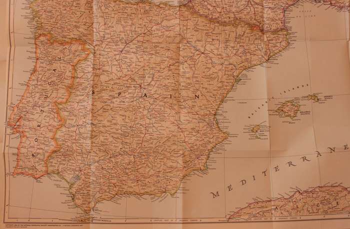
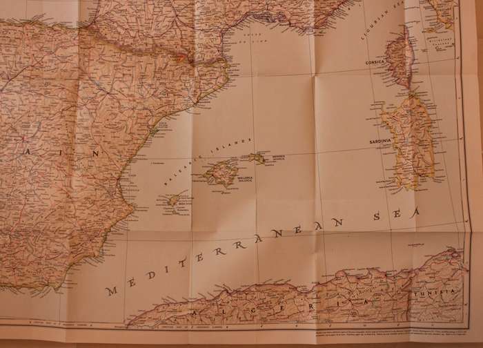
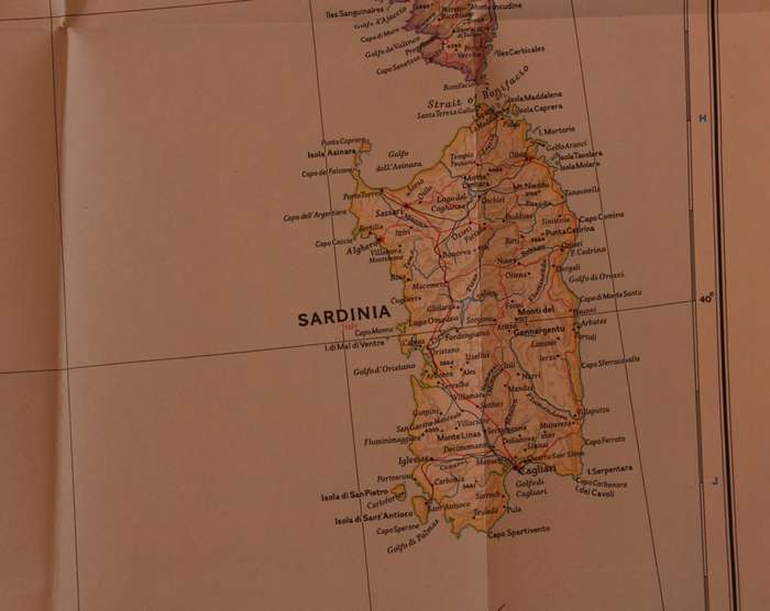
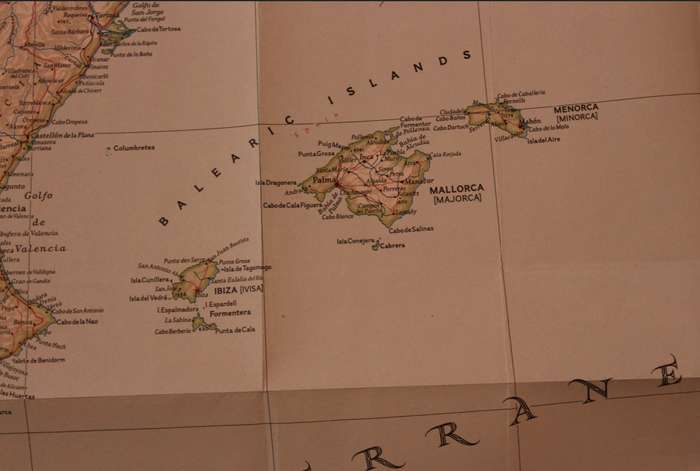
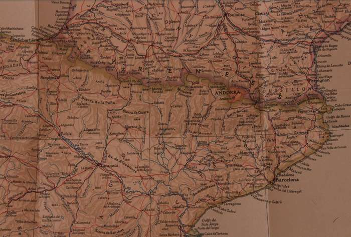
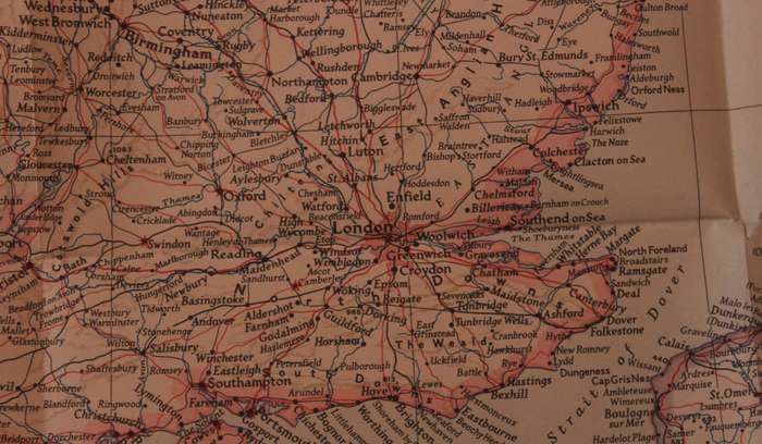
National Geographic Folded Map of Western Europe December 1950. National Geographic Folded Map of Western Europe December 1950. National Geographic Folded Map of Western Europe December 1950. National Geographic Folded Map of Western Europe December 1950. National Geographic Folded Map of Western Europe December 1950. National Geographic Folded Map of Western Europe December 1950. National Geographic Folded Map of Western Europe December 1950. National Geographic Folded Map of Western Europe December 1950. National Geographic Folded Map of Western Europe December 1950. National Geographic Folded Map of Western Europe December 1950. National Geographic Folded Map of Western Europe December 1950. National Geographic Folded Map of Western Europe December 1950.
National Geographic Folded Map of Western Europe December 1950. National Geographic Folded Map of Western Europe December 1950. National Geographic Folded Map of Western Europe December 1950. National Geographic Folded Map of Western Europe December 1950.
National Geographic Folded Map of Western Europe December 1950.
+8

National Geographic Folded Map of Western Europe December 1950.

Secondhand 1 available
R295.00
Shipping
Free shipping is available from CapeCollectables for all orders above R1,500.00, using one of our trusted couriers.
Check my rate
The seller allows collection for this item. Buyers will receive the collection address and time once the order is ready.
The seller has indicated that they will usually have this item ready to ship within 3 business days. Shipping time depends on your delivery address. The most accurate delivery time will be calculated at checkout, but in general, the following shipping times apply:
 
Standard Delivery
Main centres:  1-3 business days
Regional areas: 3-4 business days
Remote areas: 3-5 business days
Seller
Buyer protection
Get it now, pay later

Product details

Condition
Secondhand
Location
South Africa
Area
Europe
Time Period
1900-1950
Type
Political Map
Product code
8325229
Bob Shop ID
629536238

Title: National Geographic Folded Map of Western Europe December 1950.
Publisher: National Geographic Society, December 1950.
Format: Folded Map.
Scale: 1: 2 500 000 / 1 Inch = 39.46 Miles.
Height: 95cm.
Width:  71cm.
Info: A folded map of Western Europe that covers southern England including Portugal, Spain, France, Belgium and the Netherlands with Corsica and Sardinioa in the Mediterranean Sea.
The Reverse of the Map is blank.
Condition: Very Good, unmarked and unused, as new.
Price: R 295.00 Inc Vat.


Add to cart

Recently viewed

See more
50% OFF
10 PCS Camera Lens Cover for Xiaomi Redmi Note 5 Pro / Redmi Note 5(Gold)
New
R188.00 R375.00
63% OFF
1Ps Dark Green For Samsung Galaxy A23 5G Phone Cases
New
R218.00 R595.00
Poppie, Elsa Joubert and Sandra Kotzé (Die Drama)
Secondhand
R40.00
8% OFF
Teknosa Rear Left - Right Upper Control Arm For Volkswagen Jetta [5] 2.0 Fsi (Blr Bvy Bvz Bvx)(1...
New
R1,109.00 R1,209.00

Similar products

National Geographic Folded Map of the Ohio Valley December 1985
Secondhand
R195.00
National Geographic Folded Map of The Balkans 1999
Secondhand
R155.00
National Geographic Folded Map of Central Europe and The Balkan States September 1951.
Secondhand
R245.00
Vintage National Geographic Folded Map of Europe June 1969
Secondhand
R295.00