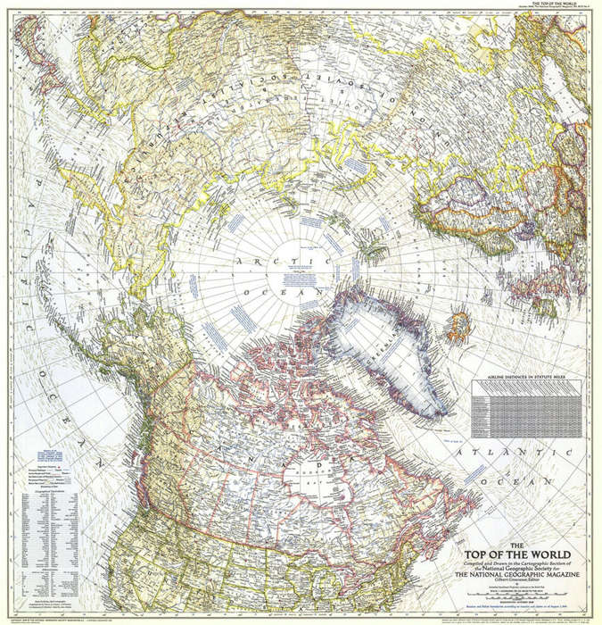
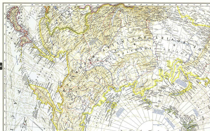
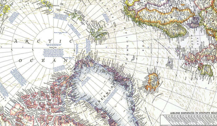
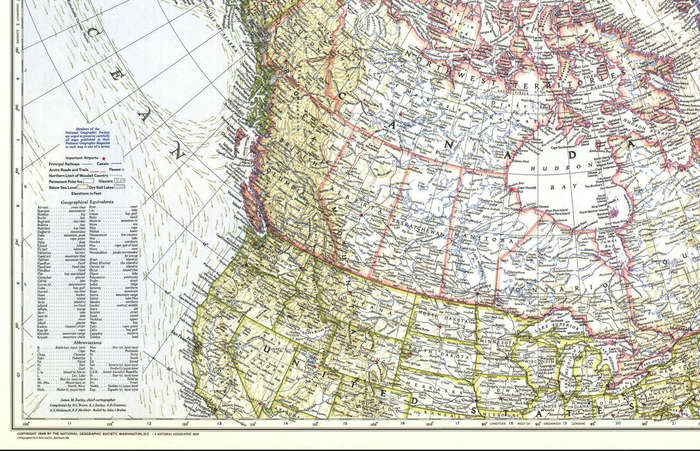
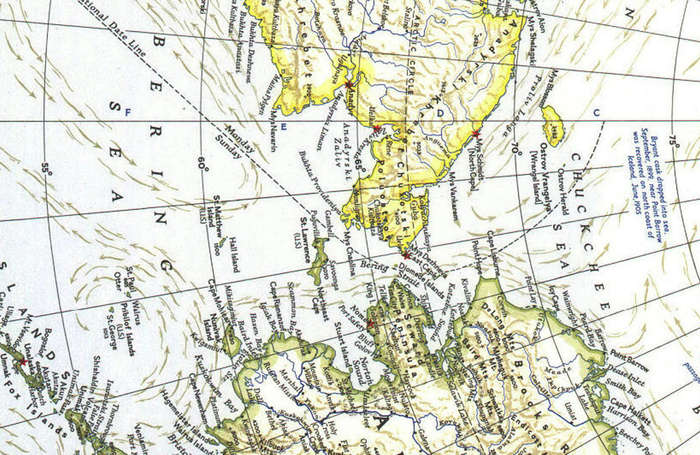
National Geographic Top Of The World 1949 Digital Maps Digital Download National Geographic Top Of The World 1949 Digital Maps Digital Download National Geographic Top Of The World 1949 Digital Maps Digital Download National Geographic Top Of The World 1949 Digital Maps Digital Download National Geographic Top Of The World 1949 Digital Maps Digital Download National Geographic Top Of The World 1949 Digital Maps Digital Download National Geographic Top Of The World 1949 Digital Maps Digital Download
National Geographic Top Of The World 1949 Digital Maps Digital Download National Geographic Top Of The World 1949 Digital Maps Digital Download National Geographic Top Of The World 1949 Digital Maps Digital Download National Geographic Top Of The World 1949 Digital Maps Digital Download
National Geographic Top Of The World 1949 Digital Maps Digital Download
+3

National Geographic Top Of The World 1949 Digital Maps Digital Download

Digital product
New 1 available
Only 1 left – grab it before it’s gone!
R195.00
Shipping
This is a digital product (eg. voucher, product license, service, etc.) and does not require shipping. The seller will be in contact to deliver this product to you electronically.
The seller has indicated that they will usually have this item ready to ship within 3 business days. Shipping time depends on your delivery address. The most accurate delivery time will be calculated at checkout, but in general, the following shipping times apply:
 
Standard Delivery
Main centres:  1-3 business days
Regional areas: 3-4 business days
Remote areas: 3-5 business days
Seller
Buyer protection
Get it now, pay later

Product details

Condition
New
Location
South Africa
Area
Maritime
Time Period
1900-1950
Type
Political Map
Bob Shop ID
652287730

Title: National Geographic Top Of The World 1949 Digital Maps Digital Download.
Publisher: National Geographic.
File Size: Total of 4.8MB.
Scale: 1: 14 000 000 or 1 Inch = 221 Miles.
Print To A2 / A1 Size.
Info: A Birds Eye View of the Top Of The World showing The North Pole and the countries around the Polar Region.
Format: Digital files transferred via WeTransfer - A download Link will be forwarded on completion of order.
Price: R 195.00 Inc Vat.


Add to cart

Recently viewed

See more
OWC 2 Bay Mercury Elite Pro USB3.1|ESATA RAID 0TB
New
R2,112.00
65% OFF
MAURITIUS 1900 1c-8c used SG 138,139,141 various multicolour CAT R 85
Secondhand
R30.00 R85.00
33% OFF
Qianli LT1 Digital Display Power Meter Isolated Power Supply DC Diagnostic Instrument
New
R1,602.00 R2,403.00
65% OFF
Toy Doll Items Capybara
New
R364.00 R1,048.00

Similar products

13% OFF
WORLD WALL MAP National Geographic
Secondhand
R1,050.00 R1,200.00
National Geographic Atlantic Ocean 1939 Digital Maps Digital Download
New
R195.00
National Geographic Map of Antarctica 1987 Digital Maps Digital Download
New
R195.00
National Geographic Folded Map of The Top Of The World - Arctic Circle October 1949
Secondhand
R295.00