


| Main centres: | 1-3 business days |
| Regional areas: | 3-4 business days |
| Remote areas: | 3-5 business days |
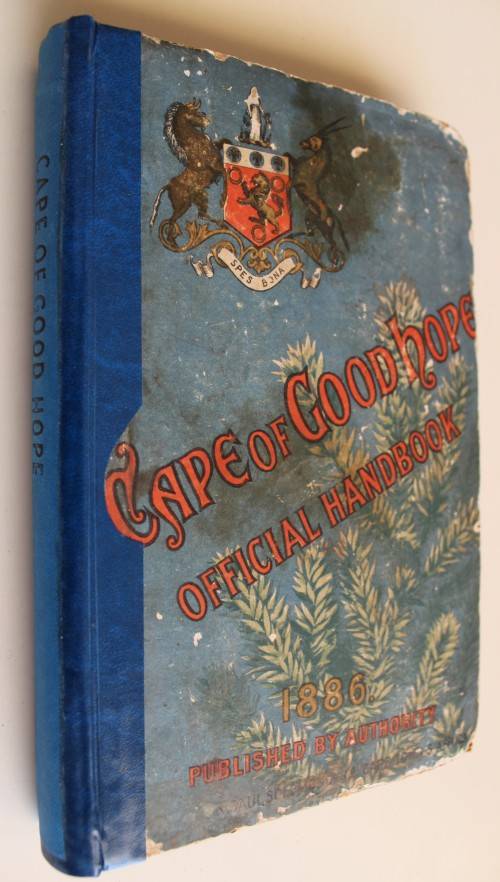
The volume was prepared " at the request of the Committee appointed by the Government for the representation of the (Cape) Colony at the Colonial and Indian Exhibition to be held in London during the...year 1886".
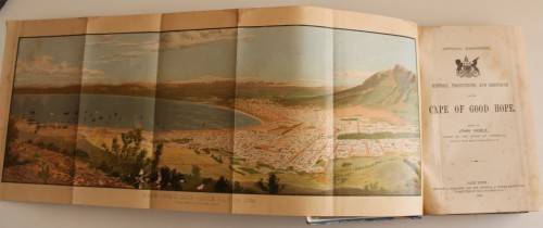
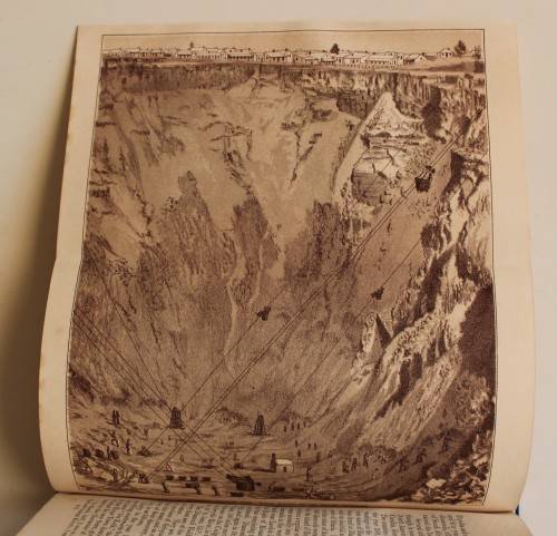
The editor comments on the progress made by the country since the publication, eleven years previously, " of the first Descriptive Handbook of the Cape Colony." There are several coloured illustrations, including folding views of Cape Town and Table Bay, and Port Elizabeth and Algoa Bay, a view of the Kimberley Mine, a Map of the Cape Colony, etc, etc, etc.
The following is a list of contributed articles, which are referred to at length in this Bibliography:
Atherston, The Hon. Dr.W.Guyon: Graham's Town and the Eastern Districts.
Baird, Dr. J:The Upper Karroo Plateau.
Bolus, Henry: Sketch of the Flora of South Africa
Douglas, The Hon. Arthur: Ostrich Farming.
Hahn, Professor P.D.: Viticulture of the Colony.
Reunert, Theodore: Diamond Mining at the Cape.
Saunders, Dr. H.W.: The Central Karroo Districts.
Spilhaus, W: Wool.
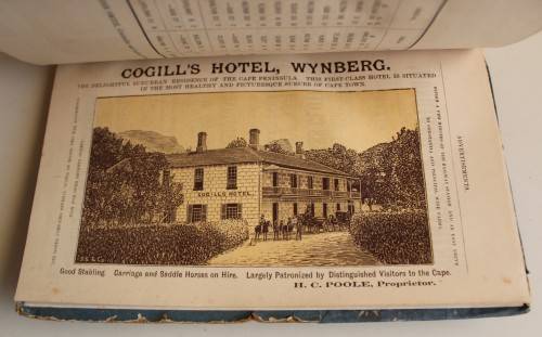
Original illustrated boards with new blue spine, impressed Cape of Good Hope. Advertisements to endpapers. Folding Map. Title. Preface. Contents. List of Maps and Illustrations. Index to Chapters. Folding Map. viii plus 330 pages plus 36 pages advertisements. The map of PE not in good condition, eaten on torn.
SOURCE: Mendelssohn. Volume 2. Page 107.


