This item has closed with no items sold
View the relisted Item
View other items offered by CapeCollectables1297

Similar products

South Africa Municipal Boundaries Provincial Maps Digital Download
New
R195.00
Northern Cape Provincial Map - Digital Download
New
R120.00
British Empire Colonies, Dependencies and Trade Routes Digital Map Digital Download
New
R195.00
South Africa Relief Map Digital Download For Vinyl Decal Print for Vehicles
New
R125.00
Northern and Southern Rhodesia 1913 British South Africa Company Digital Map Digital Download Northern and Southern Rhodesia 1913 British South Africa Company Digital Map Digital Download Northern and Southern Rhodesia 1913 British South Africa Company Digital Map Digital Download Northern and Southern Rhodesia 1913 British South Africa Company Digital Map Digital Download Northern and Southern Rhodesia 1913 British South Africa Company Digital Map Digital Download Northern and Southern Rhodesia 1913 British South Africa Company Digital Map Digital Download
Northern and Southern Rhodesia 1913 British South Africa Company Digital Map Digital Download Northern and Southern Rhodesia 1913 British South Africa Company Digital Map Digital Download Northern and Southern Rhodesia 1913 British South Africa Company Digital Map Digital Download Northern and Southern Rhodesia 1913 British South Africa Company Digital Map Digital Download
Northern and Southern Rhodesia 1913 British South Africa Company Digital Map Digital Download
+2
Closed

Northern and Southern Rhodesia 1913 British South Africa Company Digital Map Digital Download

Digital product
New 1 was available
R295.00
Shipping
This is a digital product (eg. voucher, product license, service, etc.) and does not require shipping. The seller will be in contact to deliver this product to you electronically.
The seller has indicated that they will usually have this item ready to ship within 3 business days. Shipping time depends on your delivery address. The most accurate delivery time will be calculated at checkout, but in general, the following shipping times apply:
 
Standard Delivery
Main centres:  1-3 business days
Regional areas: 3-4 business days
Remote areas: 3-5 business days
Buyer protection
Get it now, pay later

Product details

Condition
New
Location
South Africa
Area
Africa
Time Period
1900-1950
Type
Political Map
Bob Shop ID
641978523

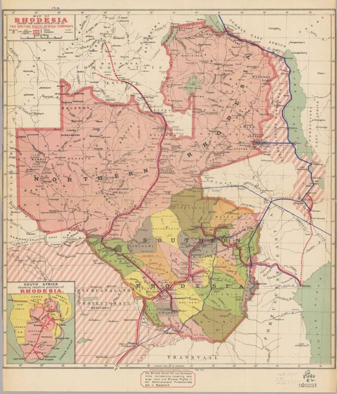
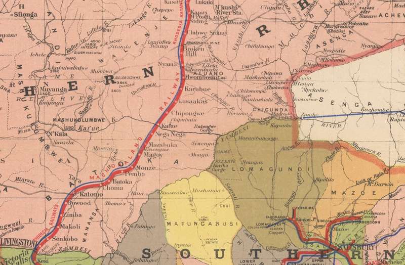
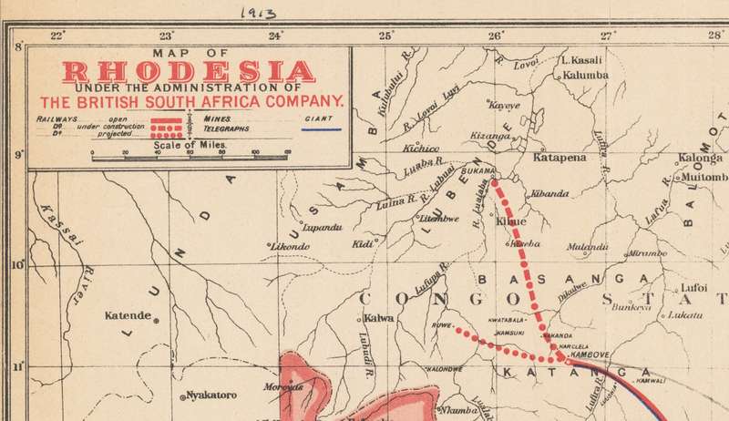
Title: Northern and Southern Rhodesia 1913 British South Africa Company Digital Map Digital Download.
Publisher: Waterlow & Sons / British South Africa Company.
Format: Vintage Printed Maps that have been scanned and saved as Tiff images.
File Size: Total of 14MB.
Total Number of Files: One.
Scale: 1: 4 000 000
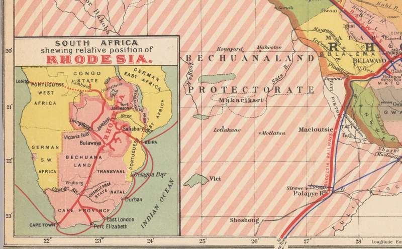
Info: Map of Rhodesia under the administration of the British South Africa Company   Relief shown by spot heights. 
Railroads, Railroads, Mines and mineral resources.
Inset: South Africa, shewing relative position of Rhodesia.
Great for printing and framing any area required and displaying in the Study or Bar area.
Format: Digital files transferred via WeTransfer - A download Link will be forwarded on completion of order.
Price: R 295.00 Inc Vat.
Large image files require sufficient processing power and memory capabilities to render efficiently on the screen. 


Recently viewed

See more
Terminal / Rerailer HO , TRAIN SET ACCESSORIES
New
R145.00
40% OFF
Redragon KUNLUN L Gaming Pad 880x420x4mm
New
R327.00 R542.00
Crystal 1930's Necklace | |
Secondhand
R2,885.00
Clutch Plate Ford Laser 1.6 Mazda 323,Etude,Rustler (CP6146M)
New
R346.15