Northern and Southern Rhodesia 1913 British South Africa Company Digital Map Digital Download Northern and Southern Rhodesia 1913 British South Africa Company Digital Map Digital Download Northern and Southern Rhodesia 1913 British South Africa Company Digital Map Digital Download Northern and Southern Rhodesia 1913 British South Africa Company Digital Map Digital Download Northern and Southern Rhodesia 1913 British South Africa Company Digital Map Digital Download Northern and Southern Rhodesia 1913 British South Africa Company Digital Map Digital Download
Northern and Southern Rhodesia 1913 British South Africa Company Digital Map Digital Download Northern and Southern Rhodesia 1913 British South Africa Company Digital Map Digital Download Northern and Southern Rhodesia 1913 British South Africa Company Digital Map Digital Download Northern and Southern Rhodesia 1913 British South Africa Company Digital Map Digital Download
Northern and Southern Rhodesia 1913 British South Africa Company Digital Map Digital Download
+2

Northern and Southern Rhodesia 1913 British South Africa Company Digital Map Digital Download

Digital product
1 available / new
Only 1 left – grab it before it’s gone!
R295.00
Shipping
This is a digital product (eg. voucher, product license, service, etc.) and does not require shipping. The seller will be in contact to deliver this product to you electronically.
The seller has indicated that they will usually have this item ready to ship within 3 business days. Shipping time depends on your delivery address. The most accurate delivery time will be calculated at checkout, but in general, the following shipping times apply:
 
Standard Delivery
Main centres:  1-3 business days
Regional areas: 3-4 business days
Remote areas: 3-5 business days
Seller
Buyer protection
Get it now, pay later

Product details

Condition
New
Location
South Africa
Area
Africa
Time Period
1900-1950
Type
Political Map
Bob Shop ID
644528766

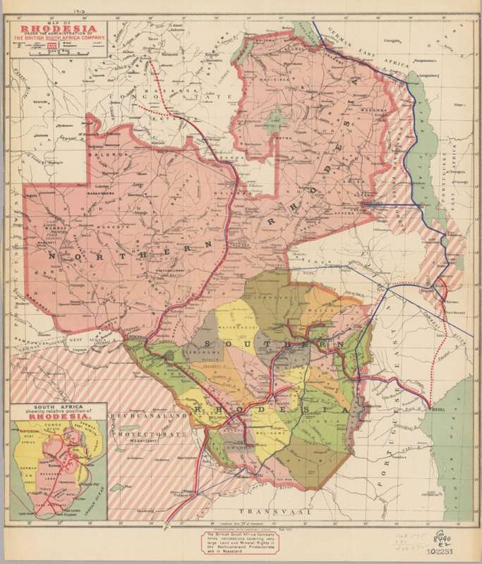
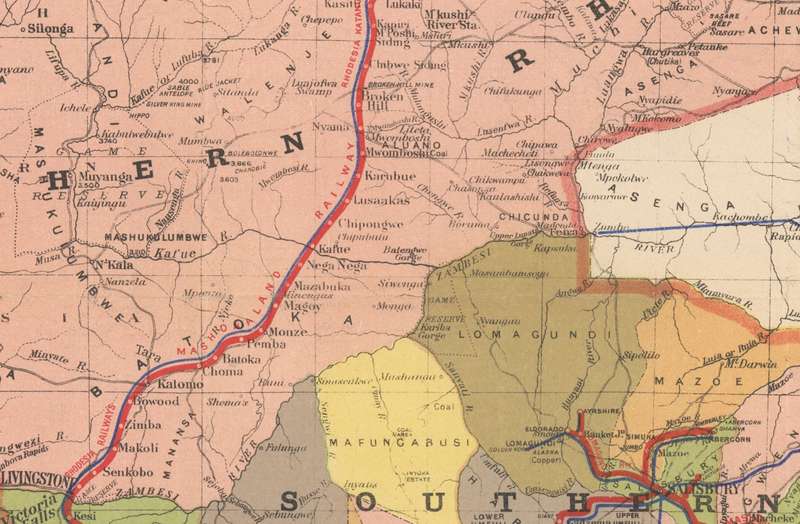
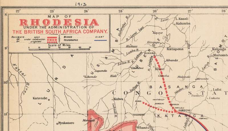
Title: Northern and Southern Rhodesia 1913 British South Africa Company Digital Map Digital Download.
Publisher: Waterlow & Sons / British South Africa Company.
Format: Vintage Printed Maps that have been scanned and saved as Tiff images.
File Size: Total of 14MB.
Total Number of Files: One.
Scale: 1: 4 000 000
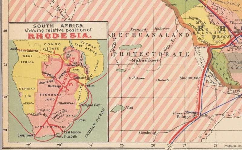
Info: Map of Rhodesia under the administration of the British South Africa Company   Relief shown by spot heights. 
Railroads, Railroads, Mines and mineral resources.
Inset: South Africa, shewing relative position of Rhodesia.
Great for printing and framing any area required and displaying in the Study or Bar area.
Format: Digital files transferred via WeTransfer - A download Link will be forwarded on completion of order.
Price: R 295.00 Inc Vat.
Large image files require sufficient processing power and memory capabilities to render efficiently on the screen. 


Add to cart

Recently viewed

See more
VOLK VAN FABELS - 'N SOEKTOG NA 'N VERLORE BOESMANSTAM IN DIE OKAVANGOMOERAS - CLIVE COWLEY
R60.00
RABBITT A Croak and Grunt in the Night Gatefold cover VINYL RECORD
R140.00
Fringe Medicine - Brian Inglis
R90.00
SOUTH AFRICA 1941-42 LARGE WARS SET OF 8 UNITS VFU. SACC 87-94. CAT R1134.
R400.00

Similar products

South Africa Municipal Boundaries Provincial Maps Digital Download
R195.00
Full Set Of South Africa Provincial Maps via Digital Download
R345.00
Transvaal and OFS and Southern Africa Physical and Mineral Map F Bianconi 1899 Digital Download
R295.00
Deutsche-Sudwesafrika 1913 Map Digital Map Digital Download
R295.00