This item has closed 1 buyer bought 1 item
View other items offered by CapeCollectables1299

Similar products

Vintage Africa / Afrika Wall Map 1951 Reproduction print.
Secondhand
R195.00
Map of Cape Colony 1901 Wall Map, Reproduction Print
Secondhand
R295.00
India Quae Orientalis Dicitur Map by W Blaeu 1638 - Framed Reproduction Print
Secondhand
R295.00
The Caribbean and West Indies Map by Kay Immel 1989 Framed
Secondhand
R895.00
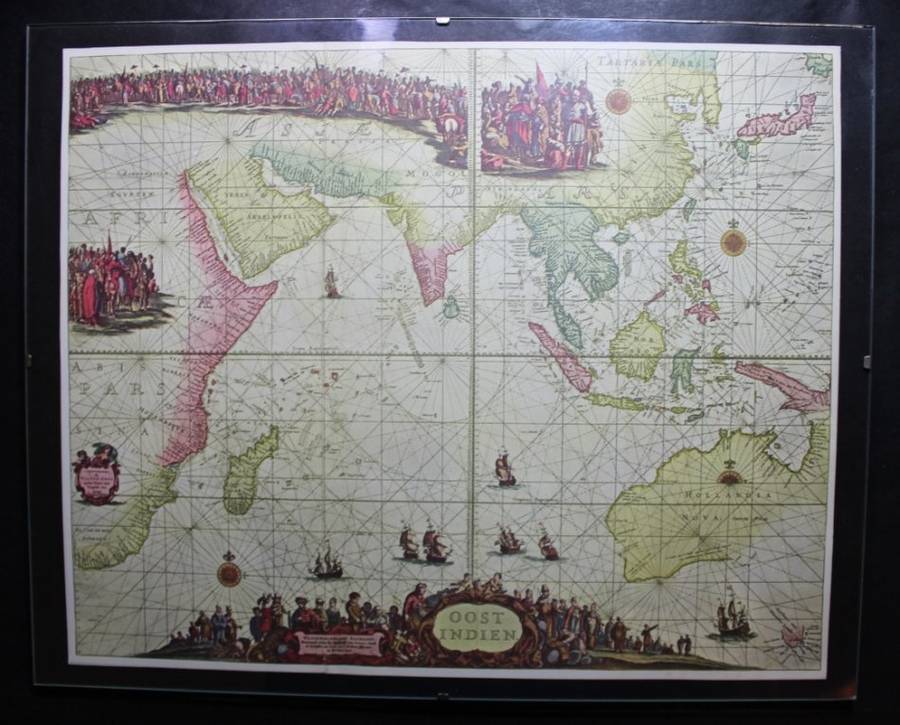
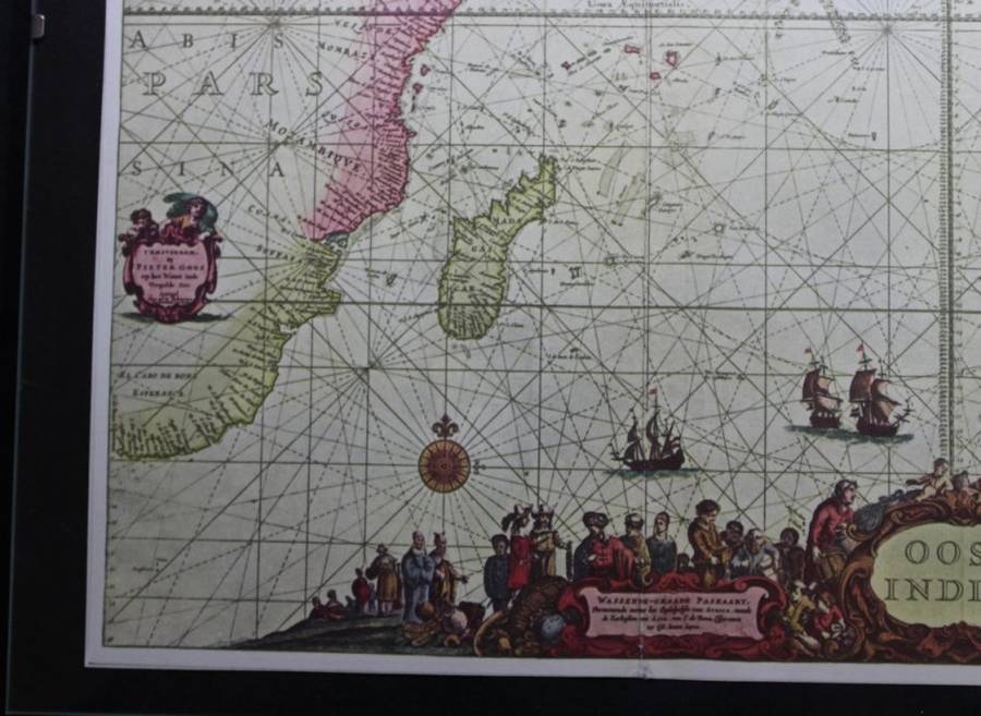
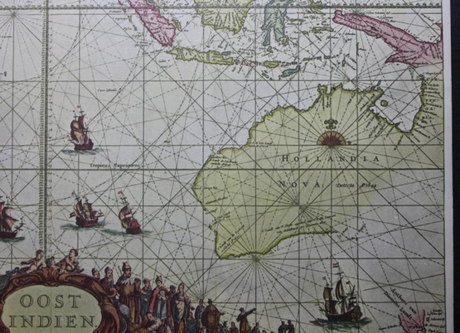
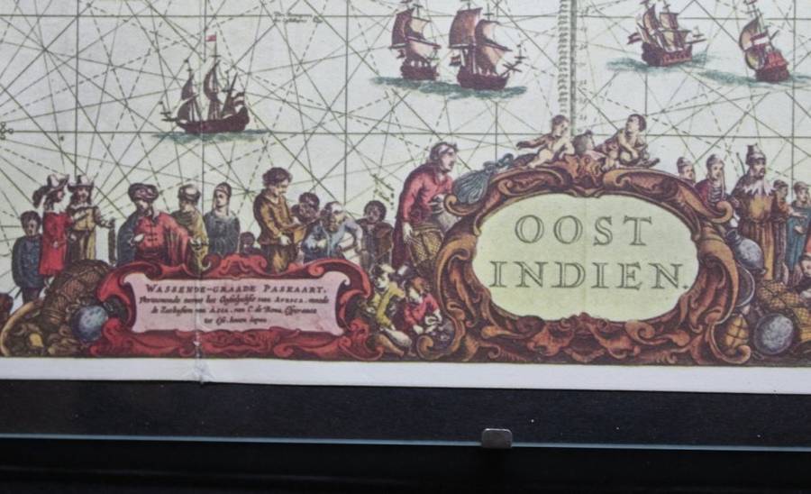
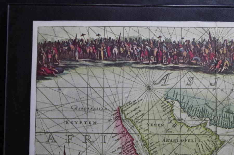
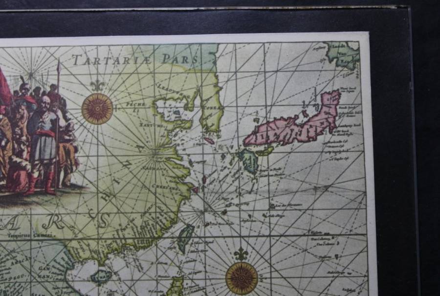
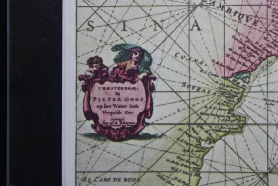
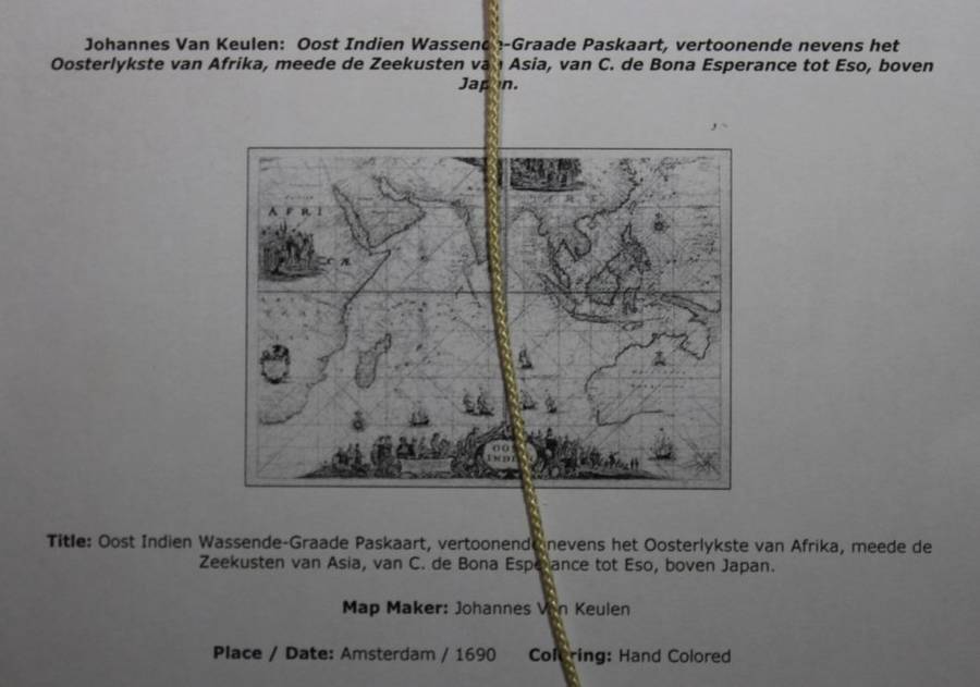
Oost Indies Map by Johannes van Keulen, 1690 - Framed Reproduction Print Oost Indies Map by Johannes van Keulen, 1690 - Framed Reproduction Print Oost Indies Map by Johannes van Keulen, 1690 - Framed Reproduction Print Oost Indies Map by Johannes van Keulen, 1690 - Framed Reproduction Print Oost Indies Map by Johannes van Keulen, 1690 - Framed Reproduction Print Oost Indies Map by Johannes van Keulen, 1690 - Framed Reproduction Print Oost Indies Map by Johannes van Keulen, 1690 - Framed Reproduction Print Oost Indies Map by Johannes van Keulen, 1690 - Framed Reproduction Print Oost Indies Map by Johannes van Keulen, 1690 - Framed Reproduction Print Oost Indies Map by Johannes van Keulen, 1690 - Framed Reproduction Print
Oost Indies Map by Johannes van Keulen, 1690 - Framed Reproduction Print Oost Indies Map by Johannes van Keulen, 1690 - Framed Reproduction Print Oost Indies Map by Johannes van Keulen, 1690 - Framed Reproduction Print Oost Indies Map by Johannes van Keulen, 1690 - Framed Reproduction Print
Oost Indies Map by Johannes van Keulen, 1690 - Framed Reproduction Print
+6
Sold

Oost Indies Map by Johannes van Keulen, 1690 - Framed Reproduction Print

Secondhand 1 was available
R295.00
Shipping
Free shipping is available from CapeCollectables for all orders above R1,500.00, using one of our trusted couriers.
Check my rate
The seller allows collection for this item. Buyers will receive the collection address and time once the order is ready.
The seller has indicated that they will usually have this item ready to ship within 3 business days. Shipping time depends on your delivery address. The most accurate delivery time will be calculated at checkout, but in general, the following shipping times apply:
 
Standard Delivery
Main centres:  1-3 business days
Regional areas: 3-4 business days
Remote areas: 3-5 business days
Buyer protection
Returns
Money-Back Guarantee: 7 Days: Refund if returned, excluding Postage.
Get it now, pay later

Product details

Condition
Secondhand
Location
South Africa
Area
Asia
Time Period
Pre-1800s
Type
Nautical Charts
Bob Shop ID
447786753

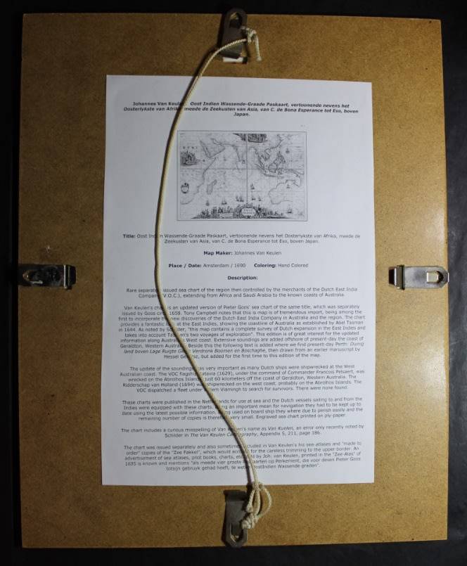
 Title: Oost Indies Map by Johannes van Keulen, 1690 - Framed Reproduction Print.

Full Title: Oost Indien Wassende-Graade Paskaart, vertoonde nevens het Oosterlykste van Afrika, meede de Zeestuken van asia, van C. de Bona Esperance tot Eso, boven Japan.
Map Maker: Johannes van Keulen.
Place: Amsterdam.
Date: 1690.
Height: 28cm.
Width: 35cm.
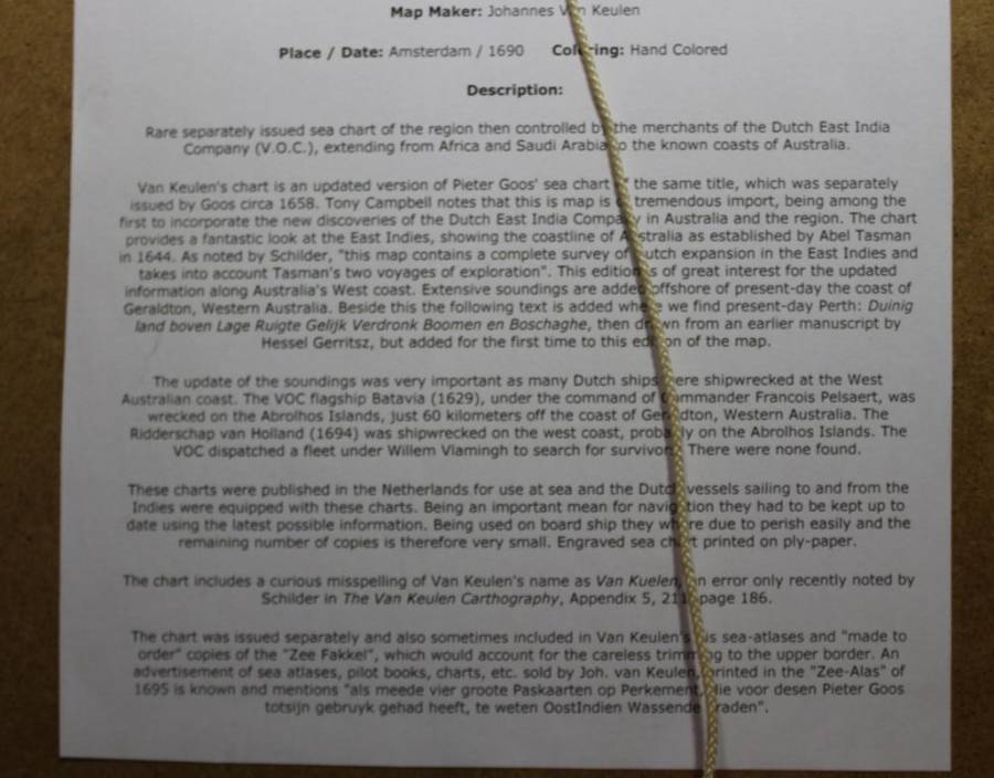
Info: The rear of the Frame contains the details and description of the Original Map. A Sea Chart issued for the merchants of the  Dutch East India Company (V.O.C) extending from Africa and Saudia  Arabia to the known coasts of America.
Condition: Very Good, framed with Glass, the Map is a reproduction  print in good condition.
Price: R 295.00 Inc Vat.
 

Recently viewed

See more
Large 9k / 9ct gold & enamel GIRAFFE charm / pendant. Ready for you. Last one!
New
R1,699.00 No bids
47% OFF
From Palm to Pine: Rudyard Kipling Abroad and at Home - Marghanita Laski (1987 1st Ed Hardcover)
Secondhand
R95.00 R180.00
45% OFF
1Pc Blue For iPhone 15 Always Love Yourself Phone Case
New
R214.00 R389.00
AUSTRALIA 1987 "AUSSIE KIDS" SET OF 4 VFU. SG 1086-89. CAT 4,90 POUNDS.
Secondhand
R32.00