


| Main centres: | 1-3 business days |
| Regional areas: | 3-4 business days |
| Remote areas: | 3-5 business days |
The right page is a detailed map which shows:
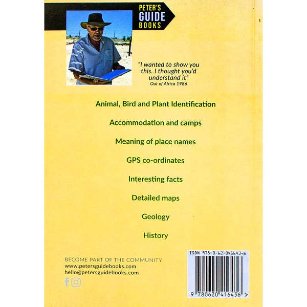
Meaning of Place Names
Historical information
Road numbers
Km between points
Prominent hills
Photograph number ( for left hand page)
Underlying geology, vegetation and animals to be found there
The left page has more detailed information on the points of interest on the facing page:
Name of the place
Road number
GPS coordinate
Tree identification and interesting facts about the tree
Historical information
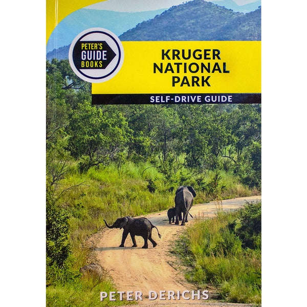
It has 287 full colour photographs that cover all the main water holes, camps and points of interest in the Park.
Each photo has the GPS position as well as information about any applicable geological formations, plus identification of trees and shrubs and a
description of any historical events that happened there.
Included are 13 full-colour pages of animals you may see as well as interesting facts about the animals.
For the bird enthusiasts, there are 13 full-colour pages of birds you may see.