This is a digital product (eg. voucher, product license, service, etc.) and does not require shipping.
The seller will be in contact to deliver this product to you electronically.
The seller has indicated that they will usually have this item
ready to ship within 3 business days.
Shipping time depends on your delivery address.
The most accurate delivery time will be calculated at checkout,
but in general, the following shipping times apply:
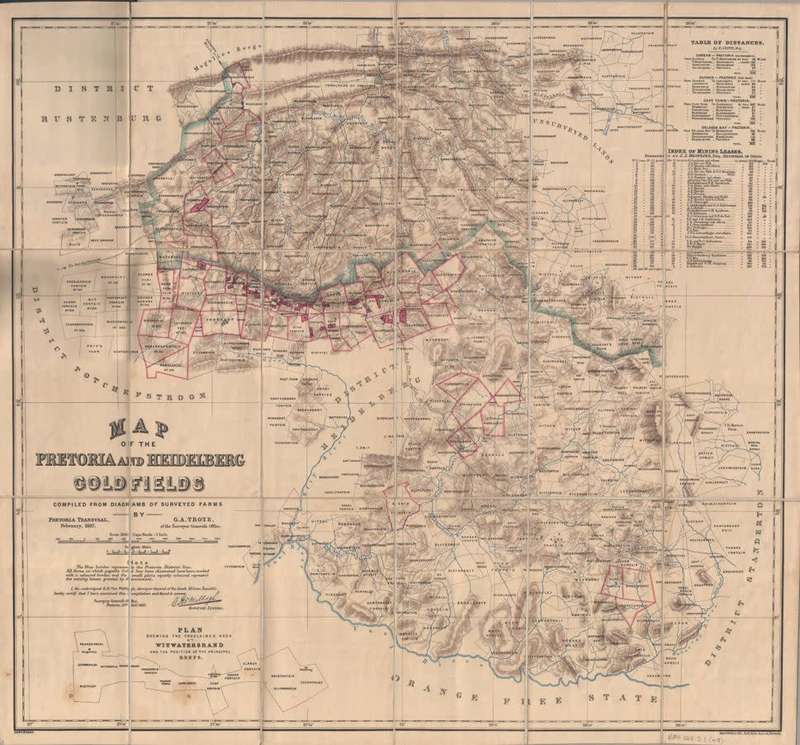
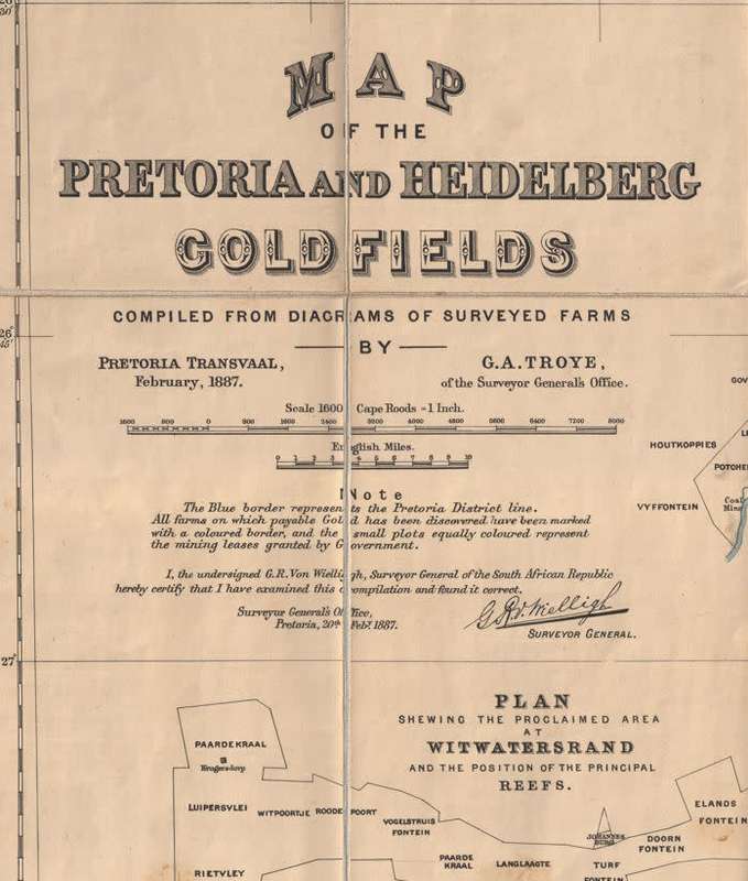
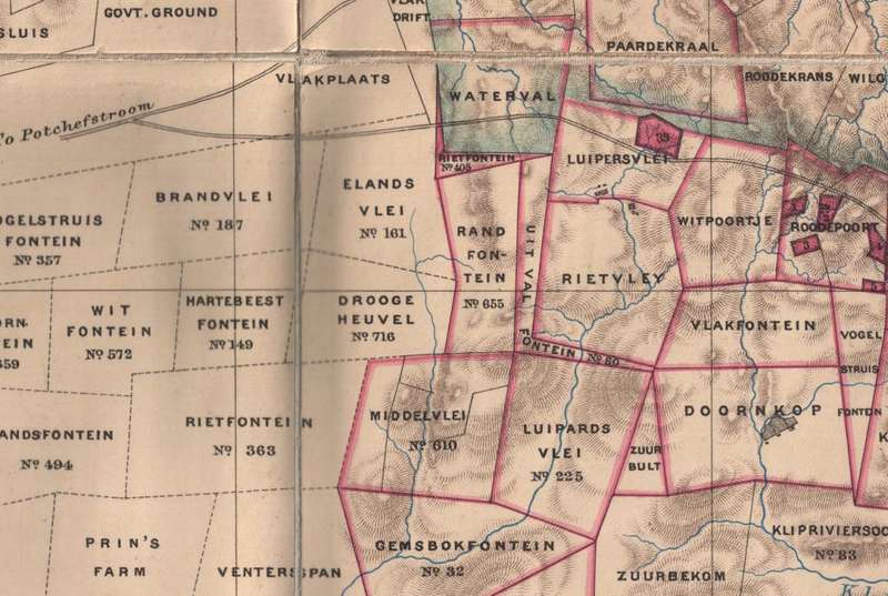
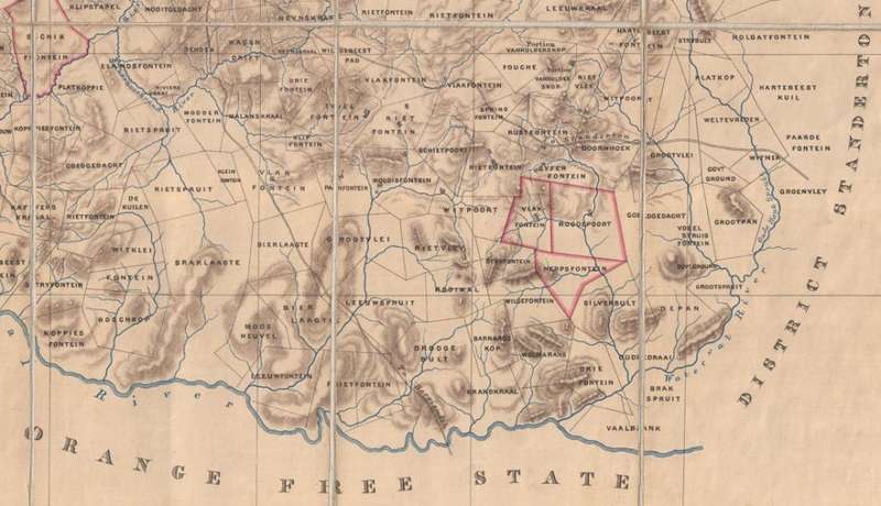
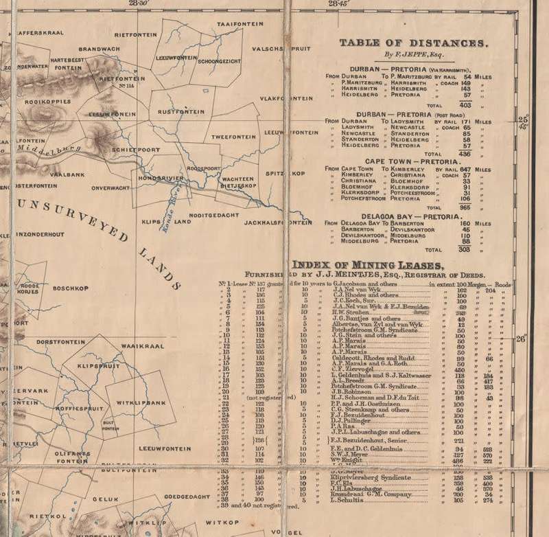
Title: Pretoria & Heidelberg Goldfields 1887 Map by GA Troye Surveyor Digital Download. Publisher: Edward Weller, Red Lion Square, London. Year: 20 February 1887. Scale: 1600 Cape Roods = 1 Inch. File Type: JPG File Image. File Size: 14 MB. Printed Size when printed up to @ A2 Size = 60cm x 60cm. Info: Digital Image of an old folded map by GA Troye of the Surveyor Generals office, from February 1887. Signed off by GR von Wielligh, The Surveyor General of the time. Shows reigistered Properties of the Witwatersrand and Heidelberg areas after the village of Johannesburg was established in 1886. Contains an index of Mining Leases on the Witwatersrand, with Rhodes, Marais and Robinson and many more on the list. Can be printed in colour on a large format printer. Format: Digital files transferred via WeTransfer - A download Link will be forwarded on completion of order. Price: R 245.00 Inc Vat.