View the relisted Item
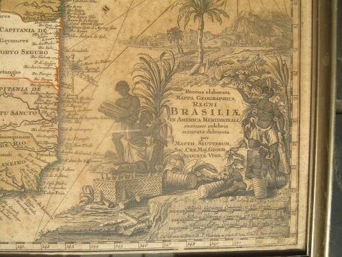
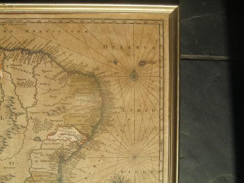
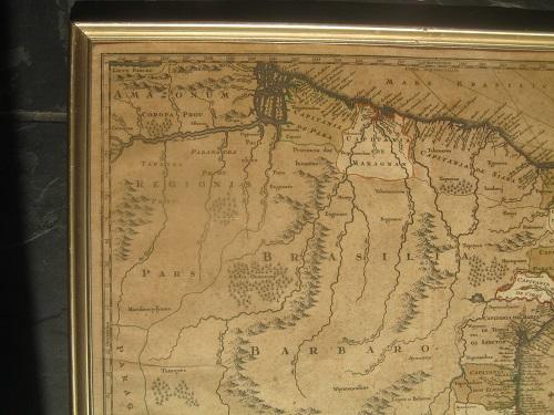
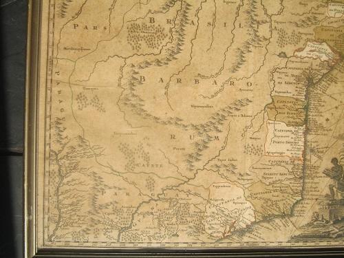
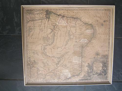
Recens Elaburata Mappa Geographica Regni Brasiliae in America Merionali by Matth Seutterum C1730
Check my rate
| Main centres: | 1-3 business days |
| Regional areas: | 3-4 business days |
| Remote areas: | 3-5 business days |
Product details
Recens Elaborata Mappa geographica Regni
Brasiliae Augsberg Seutter circa 1730
Drawn by Matthaus Seutter (1678-1757)
Double page copper plate engraved map printed on paper with the countries along the coast coloured by hand in reds & greens, heavy fading & agecolour
This map of Brazil, after the Blaeu atlas original depicts the East Coast of Brazil from the mouth of the Amazon river south to Paraguay it includes a decorative cartouche which depicts Brazilians smoking pipes surrounded by regional natural resources including sugar loaves, corn Brazilwood & Tobacco
A previous same map was sold on auction (skinner.com) in May 2014 for US$400
The map is framed & is behind Glass
Size is 61cm x 55cm
Postage price can be confirmed between buyer & sellers
Overseas buyers can contact us for a postal quote