This auction has closed with no winners.
View other items offered by christinas5517
Similar products
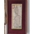
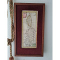
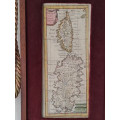
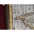
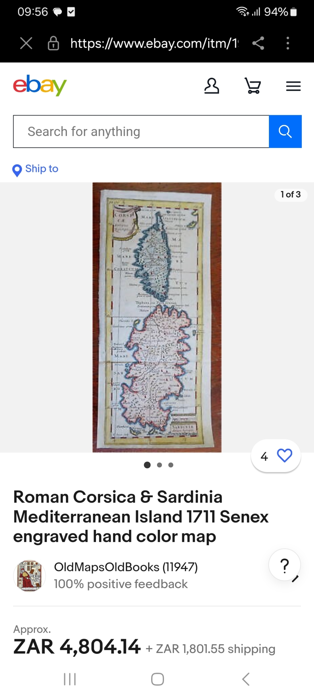
Roman Corsica & Sardinia Mediterranean Island 1711 Senex engraved hand color map
0 was
available
/ secondhand
Shipping
Standard courier shipping from R30
R30 Standard shipping using one of our trusted couriers applies to most areas in South Africa. Some areas may attract a R30 surcharge. This will be calculated at checkout if applicable.
Check my rate
Check my rate
Ready to ship in
The seller has indicated that they will usually have this item
ready to ship within 6 business days. Shipping time depends on your delivery address. The most
accurate delivery time will be calculated at checkout, but in
general, the following shipping times apply:
Standard Delivery
| Main centres: | 1-3 business days |
| Regional areas: | 3-4 business days |
| Remote areas: | 3-5 business days |
Seller
Buyer Protection
Product details
Condition
Secondhand
Location
South Africa
Time Period
1800s
Product code
office
Bob Shop ID
615544416
.Corsicae Antiqua Descriptio - Sariniae Anqiqua Descriptio.(Old Maps, Ancient World, Europe, Roman Empire, Mediterranean Island, Corsica, Sardinia). Issued 1711, London by Cluverius. Engraved by Senex. Early 18th century engraved map with lovely hand color. Nice looking example
size 12cm x 27.3
engraved area 10.5x 26.1mm