This item has closed with no items sold
View the relisted Item
View other items offered by CapeCollectables1267

Similar products

Full Set of SA 1: 50 000 Topographical Maps on 32GB USB Flash Drive Digital Format
New
R595.00
Digital Maps Robben Island Aerial Image 2008 Digital Download.
New
R195.00
Bains Railways Map of South Africa Digital Map Download
Secondhand
R295.00
Cape Reconnaissance Maps @ 1907/1914 Set of 38 Digital Maps Digital Download
New
R475.00
SA Imperial 1900 - 1919 Set of 66 Digital Maps Digital Downlaod SA Imperial 1900 - 1919 Set of 66 Digital Maps Digital Downlaod SA Imperial 1900 - 1919 Set of 66 Digital Maps Digital Downlaod SA Imperial 1900 - 1919 Set of 66 Digital Maps Digital Downlaod SA Imperial 1900 - 1919 Set of 66 Digital Maps Digital Downlaod SA Imperial 1900 - 1919 Set of 66 Digital Maps Digital Downlaod SA Imperial 1900 - 1919 Set of 66 Digital Maps Digital Downlaod SA Imperial 1900 - 1919 Set of 66 Digital Maps Digital Downlaod SA Imperial 1900 - 1919 Set of 66 Digital Maps Digital Downlaod SA Imperial 1900 - 1919 Set of 66 Digital Maps Digital Downlaod
SA Imperial 1900 - 1919 Set of 66 Digital Maps Digital Downlaod SA Imperial 1900 - 1919 Set of 66 Digital Maps Digital Downlaod SA Imperial 1900 - 1919 Set of 66 Digital Maps Digital Downlaod SA Imperial 1900 - 1919 Set of 66 Digital Maps Digital Downlaod
SA Imperial 1900 - 1919 Set of 66 Digital Maps Digital Downlaod
+6
Closed

SA Imperial 1900 - 1919 Set of 66 Digital Maps Digital Downlaod

Digital product
New 1 was available
R475.00
Shipping
This is a digital product (eg. voucher, product license, service, etc.) and does not require shipping. The seller will be in contact to deliver this product to you electronically.
The seller has indicated that they will usually have this item ready to ship within 3 business days. Shipping time depends on your delivery address. The most accurate delivery time will be calculated at checkout, but in general, the following shipping times apply:
 
Standard Delivery
Main centres:  1-3 business days
Regional areas: 3-4 business days
Remote areas: 3-5 business days
Buyer protection
Returns
Money-Back Guarantee: 7 Days: Refund if returned, excluding Postage.
Get it now, pay later

Product details

Condition
New
Location
South Africa
Area
Africa
Time Period
1900-1950
Type
Political Map
Bob Shop ID
615214623

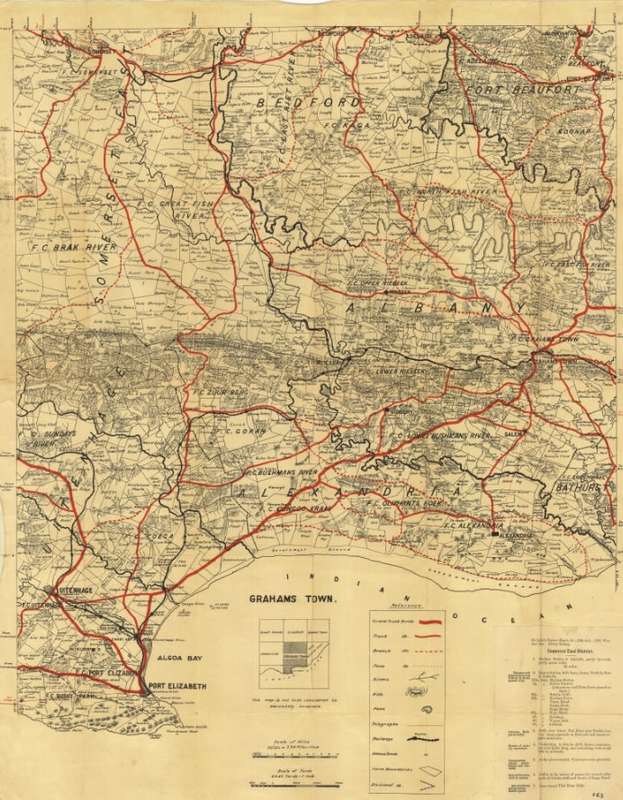
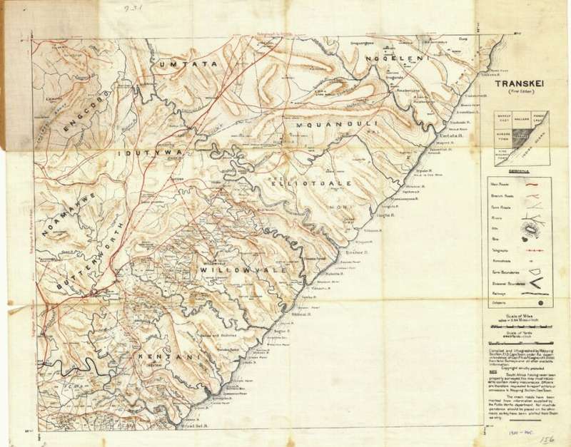
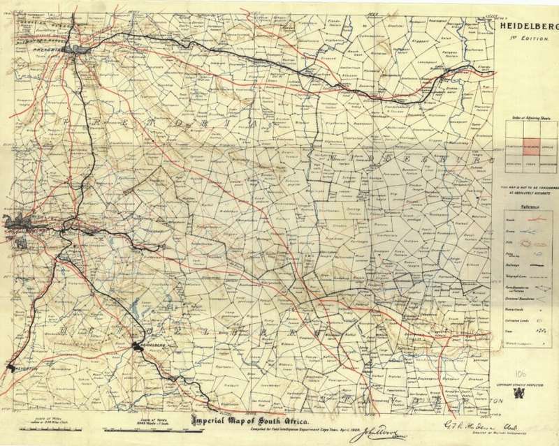
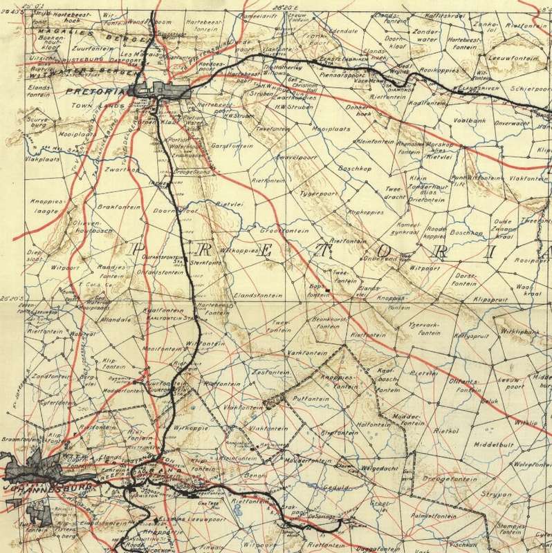
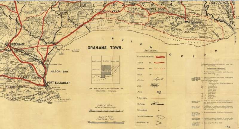
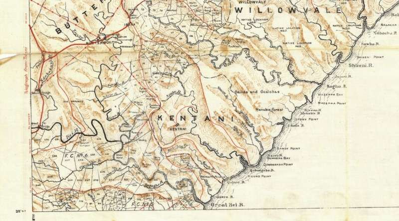
 Title: SA Imperial 1900 - 1919 Set of 66 Digital Maps Digital Download
Publisher: Complied for Field Intelligence Department Cape Town. John Wood Compiler for G F R Henderson, Director of Military Intelligence.
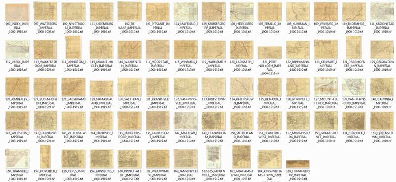
Format: Vintage Printed Maps that have been scanned and saved as Tiff images.
Printed Size on a large format printer would be as follows:-
Height: @ 90cm.
Width: 75cm.
File Size: Total of 1.49GB.
Total Number of Files: 66 Maps plus 1 Grid Map Tiff images @ 20MB to 30MB each.
Info: 66 Topographical Maps of South Africa from the early 1900's.
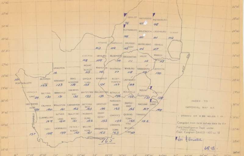
Not Included: Missing are the following areas - The Cape South Coast / most of Natal / Northern Limpopo area and parts of the Northern Cape. 
Please check the grid map in the images to see the extent of coverage.
Farm names, roads and towns and villages in the early 1900's.
Great for printing and framing any area required and displaying in the Study or Bar area.
Scale: 1: 250 000.
Format: On completion of the order a link will be forwarded to your e-mail address for downloading of the file.
Price: R 475.00 Inc Vat.


Recently viewed

See more
5% OFF
Kingston NV3 500GB M.2 2280 PCIe 4.0 NVMe SSD
New
R889.00 R935.00
Union of South Africa- Used-Cancel-Thematic-Fauna
Secondhand
R1.00 No bids
MERLIN DIANA STICKER CO,,ECTION #6
Secondhand
R5.00 No bids
Faune, `n Bloemlesing oor die dier in die Afrikaanse poësie - T.T. Cloete (samesteller)
Secondhand
R60.00 No bids