Free shipping is available from CapeCollectables for all orders above R1,500.00, using one of our trusted couriers. Check my rate
The seller allows collection for this item. Buyers will receive the collection address and time once the order is ready.
The seller has indicated that they will usually have this item
ready to ship within 3 business days.
Shipping time depends on your delivery address.
The most accurate delivery time will be calculated at checkout,
but in general, the following shipping times apply:
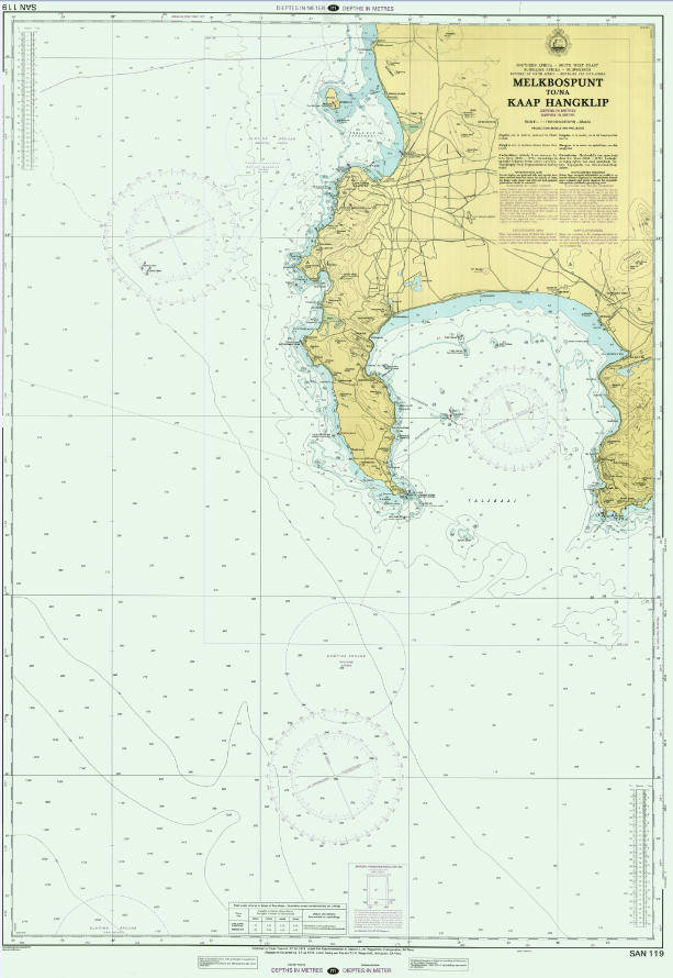
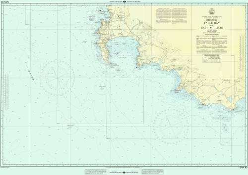
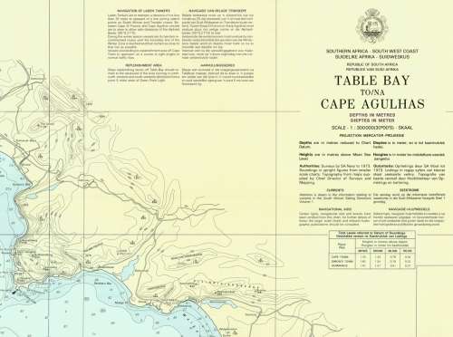
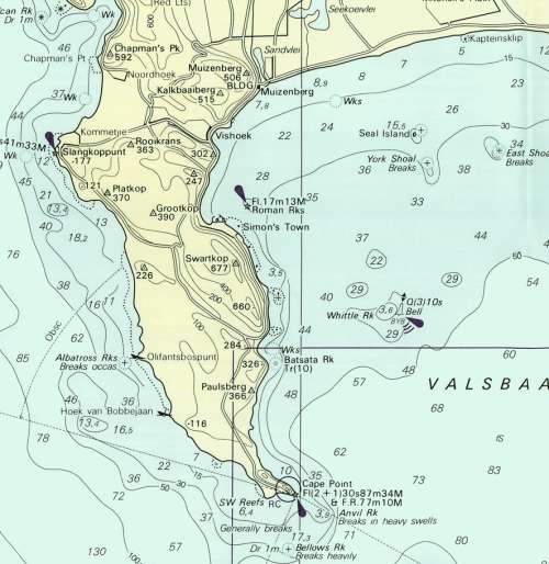
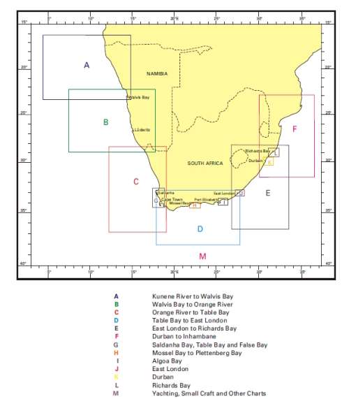
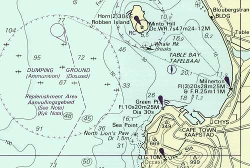
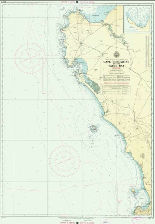
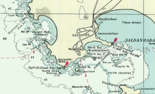
Title: South Africa Nautical Charts Digital Format on 16GB USB Flash Drive. Publisher: SA Navy Hydrographic Department. Format: Digital Files on 16GB USB Flash Drive, TIF Files. Total of 3.0GB of Data - 182 Charts. The Charts are recommended to be viewed on a Screen or printed to at least A2 or A1 Size on a large format Colour printer. (Printing to A4 and A3 size is not recommended unless the Chart is cropped via Graphics Software. Too much detail would be lost on an A2 or A3 size print.) Recommended Print Height: 60cm. Recommended Print Width: 90cm. Info: A number of Various Scale Charts of South African waters around the coast, including the Atlantic and Indian Oceans, the whole Set. Nautical charts are key to safe navigation. It is a Chart that depicts the configuration of the shoreline and seafloor. It provides water depths, locations of dangers to navigation, locations and characteristics of aids to navigation, anchorages, and other features. Includes the Index. Total of 182 Charts to cover the whole of the South African Coastline and waterways as well as the surrounding Oceans, including an Index and other information. Condition: Digital Format on USB 3.0 Flash Drive. Price: R 595.00 Inc Vat for the Whole set on USB Flash drive.