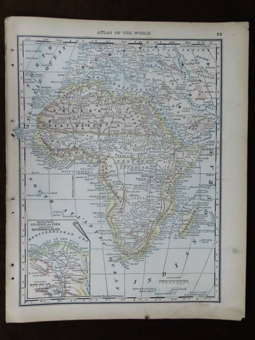
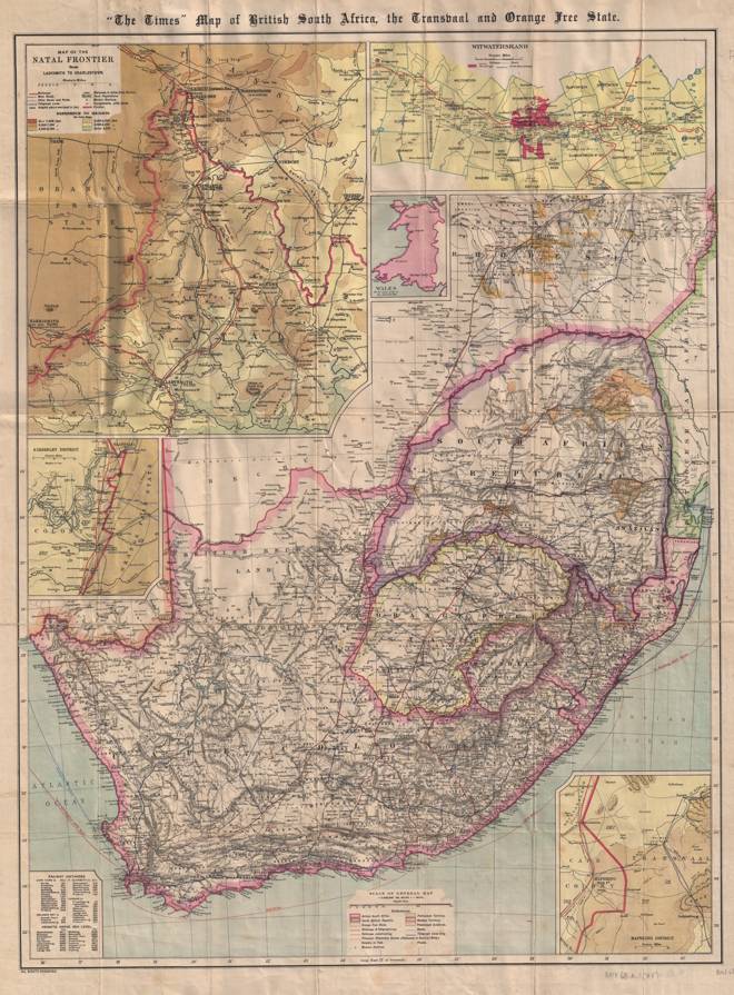
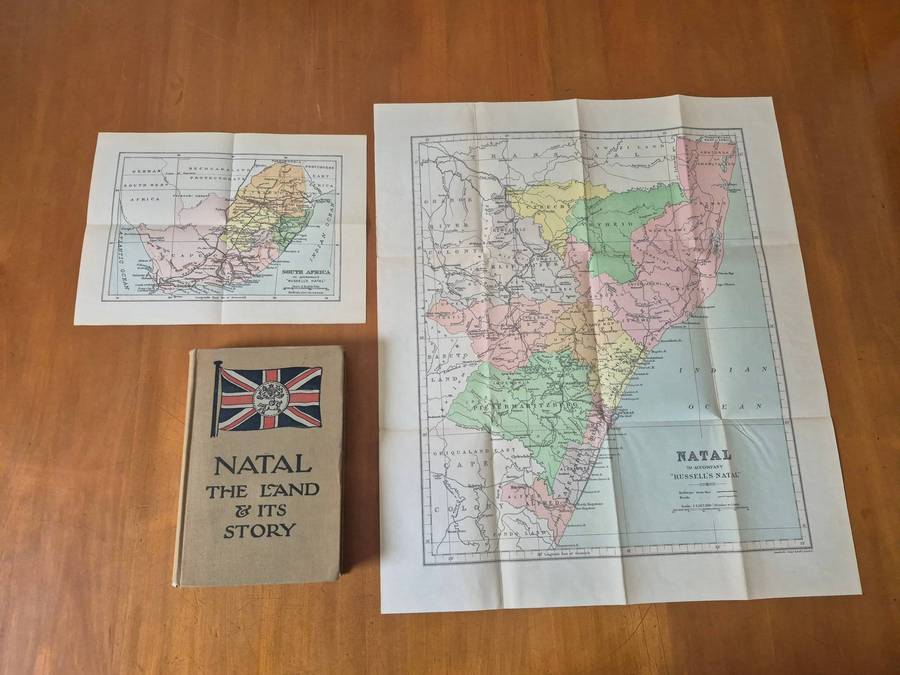
Similar products


| Main centres: | 1-3 business days |
| Regional areas: | 3-4 business days |
| Remote areas: | 3-5 business days |
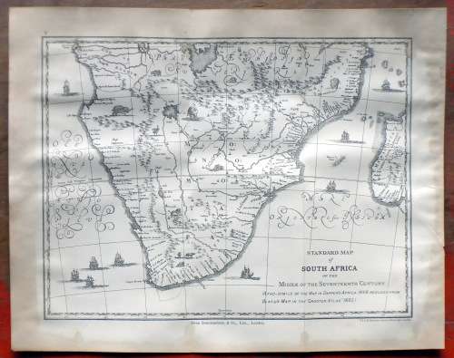
Standard Map of South Africa of the Middle of the Seventeenth Century
Map Size are: 26.5 x 21 cm
The map are still sharp and clear and in a good condition. There are stains on the outside edges.
The map were salvaged from a weathered 1910 book.
Please see the Photo's as part of the description. Sold as per scan.
International Bidders Welcome (Please inquire about shipping costs)
Postage and Packaging:
Shipping includes time, labor, packaging material and travel costs
Post Office: R55, --- Courier R120
Postner: R109
Items can be combined request.