This item has closed with no items sold
View the relisted Item
View the relisted Item
View other items offered by CapeCollectables1030
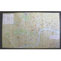
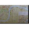
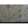
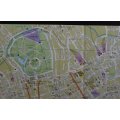
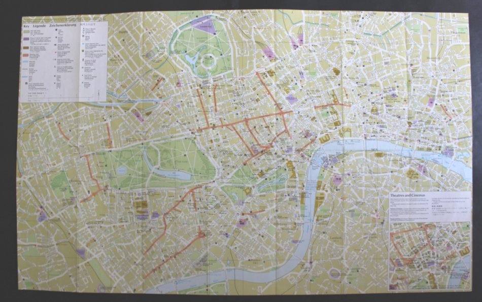
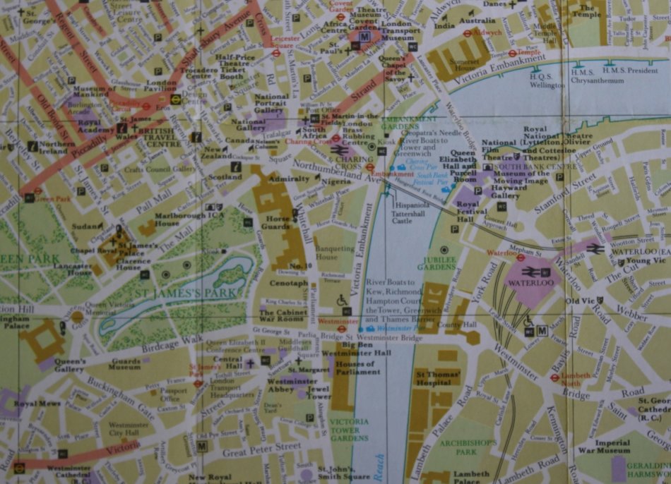
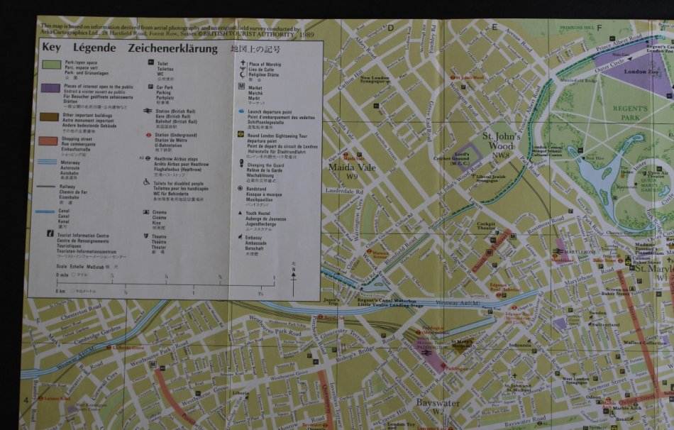
Street Map of Central London for Framing.
Secondhand
R125.00
Closed
21 Apr 24 11:16
Shipping
Standard courier shipping from R30
R30 Standard shipping using one of our trusted couriers applies to most areas in South Africa. Some areas may attract a R30 surcharge. This will be calculated at checkout if applicable.
Check my rate
Check my rate
Free collection from
Kuils River, Cape Town
The seller allows collection for this item and will be in contact with the full collection address once the order is ready.
Ready for collection by Friday, 3 May.
Ready to ship in
The seller has indicated that they will usually have this item
ready to ship within 3 business days. Shipping time depends on your delivery address. The most
accurate delivery time will be calculated at checkout, but in
general, the following shipping times apply:
Standard Delivery
| Main centres: | 1-3 business days |
| Regional areas: | 3-4 business days |
| Remote areas: | 3-5 business days |
Buyer Protection
How you're covered
Get it now, pay later
Returns
Product information
Condition:
Secondhand
Location:
South Africa
Area:
Europe
Time Period:
Post-1950
Type:
Road Map
Bob Shop ID:
610540136
Title: Street Map of Central London for Framing.
Publisher: British Tourist Authority, 1989.
Height: 42cm.
Width: 67cm.
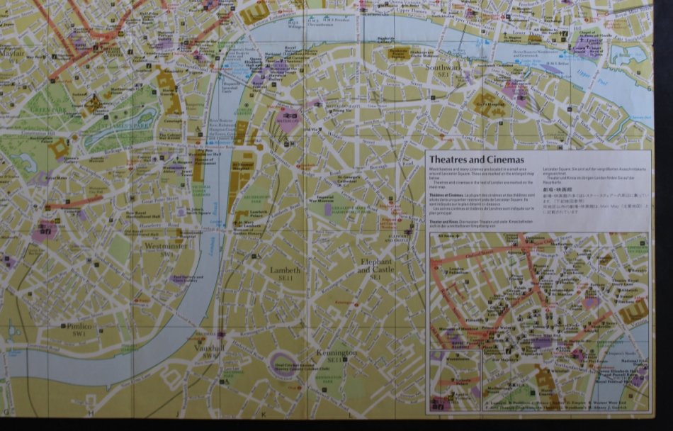
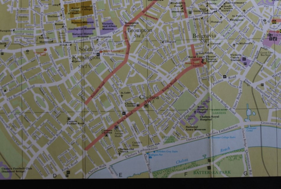
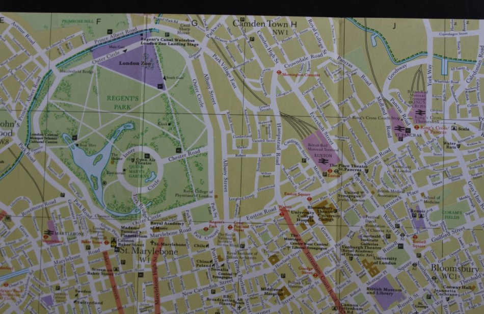
Info: Folded Tourist Map of London along the Thames River.
West: West Kensington.
North: Camden Town.
East: Tower Of London
South: The Oval Cricket Ground.
Condition: Folded Map, in good condition, suitable for framing for the study or office.
Price: R 125.00 Inc Vat.
![]()