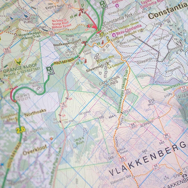


Table Mountain Map
Check my rate
View locations
| Main centres: | 1-3 business days |
| Regional areas: | 3-4 business days |
| Remote areas: | 3-5 business days |


| Main centres: | 1-3 business days |
| Regional areas: | 3-4 business days |
| Remote areas: | 3-5 business days |
In this Edition are:
Distances and estimated times shown for all paths above the Contour Path or Pipe Track
Long/Lat grid at 10" intervals as well as the 200 metre square UTM grid Completely revised vegetation distribution
Some vanished paths removed; some new ones added
Three Firs, Oudekraal Ravine and Constantia Corner routes upgraded
Clearer depiction of many features, including dangerous routes
All the features for which the map is famous are still there:
All approved paths, with DD MM SS GPS coordinates for major junctions;
-10 metre contours & delicate colour height shading bring the topography to life;
-Forty quality photos of the most prominent mountain flowers, as well as line sketches of flora and fauna are included on the map.
The reverse side includes:
A sketch of the view from Maclear's Beacon, with names and distances to prominent peaks on the eastern horizon;
Written descriptions of 23 of the most popular routes, with distances and approximate times
Important safety instructions, emergency telephone numbers, Cableway and National Park details, etc
Technicals:
A2+ full colour map Scale 1:20 000 (5cm = 1km)
10m contours; relief shading
200m² UTM grid, WGS84
10" Long/Lat grid
Coords in DDMMSS format at important junctions
23 Route descriptions Safety information & contact numbers