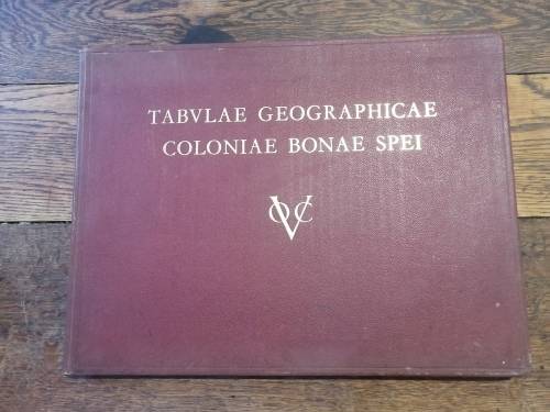
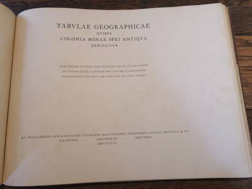
TABULAE GEOGRAPHICAE COLONIAE BONAE SPEI (VOC): Eighteenth-century cartography of the Cape Colony
Secondhand
1 was available
R10.00
minimum increment
R2,200.00
Shipping
R35.00 Standard shipping using one of our trusted couriers applies to most areas in South Africa. Some areas may attract a R30.00 surcharge. This will be calculated at checkout if applicable. Check my rate
The seller allows collection for this item. Buyers will receive the collection address and time once the order is ready.
The seller has indicated that they will usually have this item
ready to ship within 7 business days.
Shipping time depends on your delivery address.
The most accurate delivery time will be calculated at checkout,
but in general, the following shipping times apply:
Published by HAUM Publishers, Cape Town, Amsterdam, Pretoria, 1952
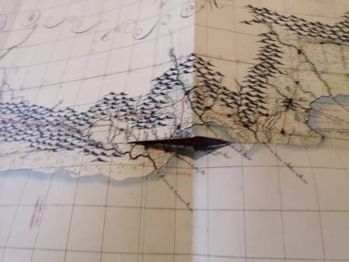
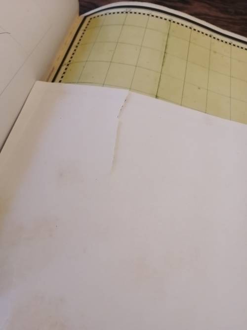
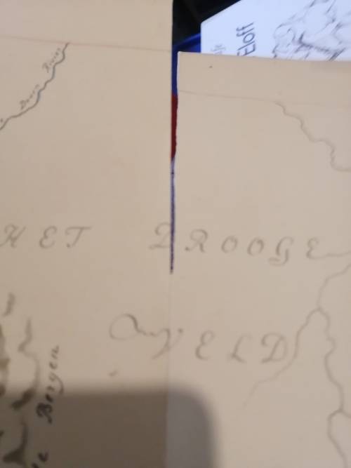
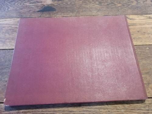
Large faux leather covered book with gilt titling. The boards have some slight rubbing. Age toning to endpapers and some mild scattered age spots which do not look like they are on any of the map visuals. Corners are bumped a bit. Fold-out maps are all intact unless shown (I can only see tears in two). Please see pics.
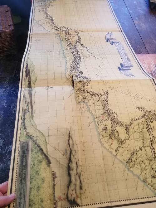
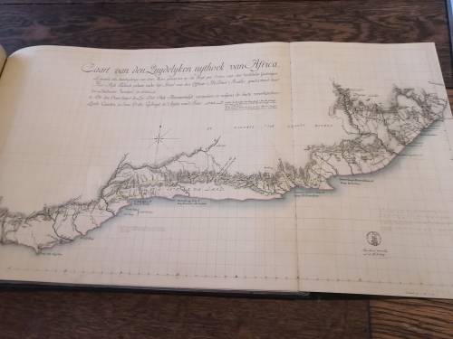
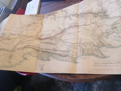
Until the re-discovery of these 18th century maps of South Africa in 1950 it was thought that reliable maps of the country dated only from about 1800 (Barrow). The maps so beautifully reproduced in this book are a credit to the 18th century Dutch cartographers and Governor Van de Graaff who collected and preserved the cartographic material.
The book was published to coincide with the Van Riebeeck Festival of 1952.
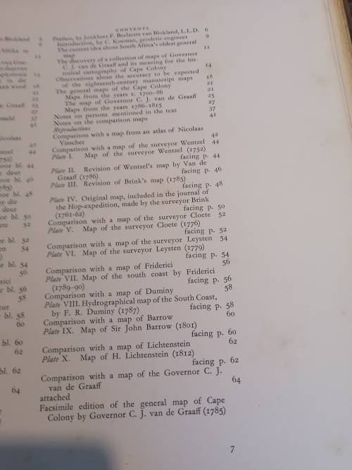
40 pages of introductory and background material by Koeman followed by ten large folding, colour maps plus a larger facsimile of the general map of the Cape Colony by Governor van de Graaff (1785), with detailed comparisons of the maps.