| Main centres: | 1-3 business days |
| Regional areas: | 3-4 business days |
| Remote areas: | 3-5 business days |
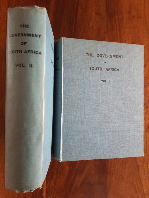
Hardcover two volume set published 1908 by Central News Agency, in like condition to each other, that is no jackets, boards square and solid with some minor wear and bumps to extremities. Volume 2 has some dog-earing to the latter pages, due to impression caused by a package of removable maps and diagrams, as follows: Map to Illustrate the Government of South Africa, a bit brittle with some tears on the folds, Chart of the Electoral Divisions of British South Africa (2 of), Map of Cape Colony Showing Deeds Office Registry Districts, Map of the Cape Magisterial District Showing Electoral Divisions, Map of Parts II, III, & IV of the Witwatersrand Magisterial District Showing Electoral Divisions, Map of Pretoria Municipality and Suburbs Showing Electoral Divisions, Map of Bloemfontein Municipality Showing Electoral Divisions, Map of the Witwatersrand Magisterial District Transvaal Colony Showing the 5 Electoral Parts and the Electoral Divisions of Parts I & V. These maps bear the printed signature of the Surveyor General Gilfillan, whose ink signatures appear inside both volumes, dated November 1908.