Thomas Cook Rail Map Europe 18th Edition Folded Map 2011 Thomas Cook Rail Map Europe 18th Edition Folded Map 2011 Thomas Cook Rail Map Europe 18th Edition Folded Map 2011 Thomas Cook Rail Map Europe 18th Edition Folded Map 2011 Thomas Cook Rail Map Europe 18th Edition Folded Map 2011 Thomas Cook Rail Map Europe 18th Edition Folded Map 2011 Thomas Cook Rail Map Europe 18th Edition Folded Map 2011 Thomas Cook Rail Map Europe 18th Edition Folded Map 2011 Thomas Cook Rail Map Europe 18th Edition Folded Map 2011 Thomas Cook Rail Map Europe 18th Edition Folded Map 2011 Thomas Cook Rail Map Europe 18th Edition Folded Map 2011
Thomas Cook Rail Map Europe 18th Edition Folded Map 2011 Thomas Cook Rail Map Europe 18th Edition Folded Map 2011 Thomas Cook Rail Map Europe 18th Edition Folded Map 2011 Thomas Cook Rail Map Europe 18th Edition Folded Map 2011
Thomas Cook Rail Map Europe 18th Edition Folded Map 2011
+7

Thomas Cook Rail Map Europe 18th Edition Folded Map 2011

1 available / secondhand
R195.00
Shipping
Free shipping is available from CapeCollectables for all orders above R1,500.00, using one of our trusted couriers.
Check my rate
The seller allows collection for this item. Buyers will receive the collection address and time once the order is ready.
The seller has indicated that they will usually have this item ready to ship within 3 business days. Shipping time depends on your delivery address. The most accurate delivery time will be calculated at checkout, but in general, the following shipping times apply:
 
Standard Delivery
Main centres:  1-3 business days
Regional areas: 3-4 business days
Remote areas: 3-5 business days
Seller
Buyer protection
Returns
Money-Back Guarantee: 7 Days: Excludes Cost Of Return Shipping
Get it now, pay later

Product details

Condition
Secondhand
Location
South Africa
Area
Europe
Time Period
Post-1950
Type
Other
Product code
8327508
Bob Shop ID
631314846

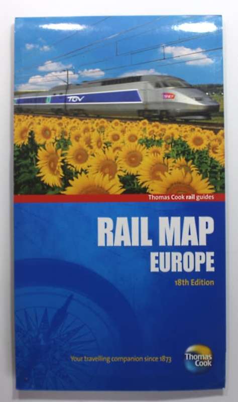
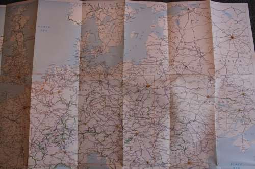
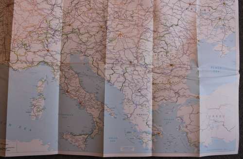
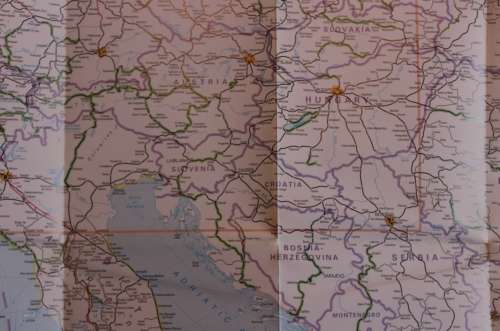
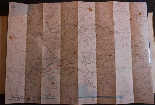
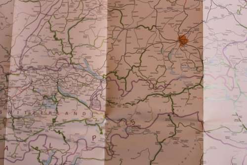
Title: Thomas Cook Rail Map Europe 18th Edition Folded Map 2011.
Publisher: Thomas Cook Publishing.
Format: Folded Map.
Height: 69 cm.
Width: 98 cm.
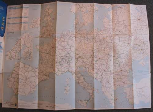
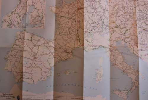
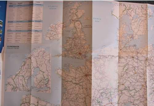
Info: Excellent Rail Map of Europe, one side has the whole of Europe with major rail routes.
The reverse has Central Europe with a lot more detail, from Paris to Warsaw.
Scale: Side One = 1: 4 000 000   
            Side Two = 1: 1 500 000
Condition: Excellent, As New, never used.
Price: R 195.00 Inc Vat.


Add to cart

Recently viewed

See more
Babylon 5 - In the Beginning
R99.00
Kaisi RL1 28 Lamp Beads USB Interface Adjustable Brightness Microscope LED Ring Light
R461.54
Tumbledown: When the Fighting is Over : a Personal Story -- John Lawrence, Robert Lawrence
R46.00
Iphone xr 64gig
R5,000.00

Similar products

1961 Map of Europe, Excellent condition, Original McNally Map
R195.00
AA Touring Map Of Western Europe Folded Map 2nd Revised Edition 1976
R145.00
1770 Vintage Map of Turkey in Europe
R675.00
Vintage Folded Map Motorists` Map of Northern England, #4 First Edition 1977
R155.00