Free shipping is available from CapeCollectables for all orders above R1,500.00, using one of our trusted couriers. Check my rate
The seller allows collection for this item. Buyers will receive the collection address and time once the order is ready.
The seller has indicated that they will usually have this item
ready to ship within 3 business days.
Shipping time depends on your delivery address.
The most accurate delivery time will be calculated at checkout,
but in general, the following shipping times apply:
Money-Back Guarantee:
7 Days: Excludes Cost Of Return Shipping
Get it now, pay later
Product details
Condition
Secondhand
Location
South Africa
Area
Africa
Time Period
Post-1950
Type
Road Map
Product code
8325457
Bob Shop ID
629708202
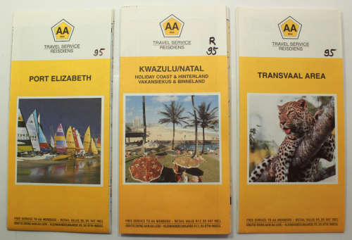
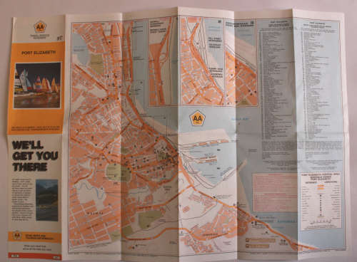
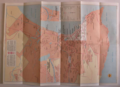
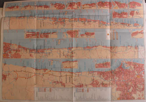
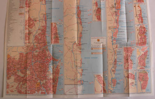
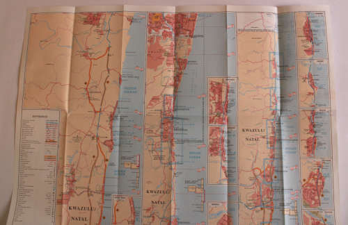
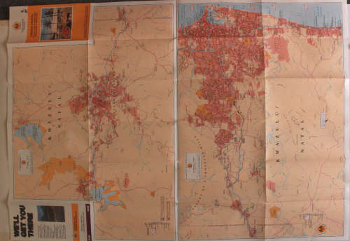
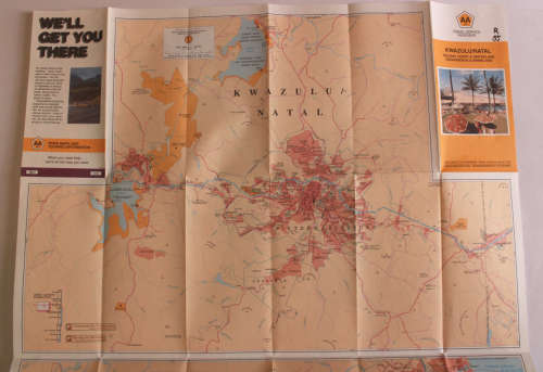
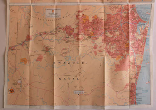
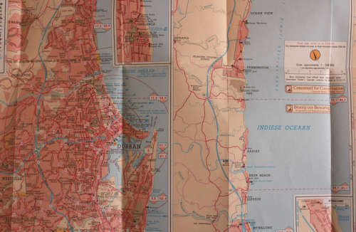
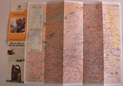
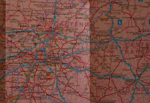
Title: Three Vintage Folded AA Road Maps PE 1992/KZN Coast & Hinterland 1995/Transvaal Area 1995. Publisher: AA South Africa Travel Service Series. Map #1 - Port Elizabeth (Year 1995) Map #2 - KwaZulu Natal Holiday Coast & Hinterland (Year 1995) Map #3 - Transvaal Area (Year 1995) Map #1 of Port Elizaberth is a double sided map with the layout of Port Elizabeth City on the one side and an overview of the Bay area on the Reverse. Map #2 of KwaZulu Natal has Strip Maps of the Coastal holiday areas from Stanger in the North to Port Edward in the South with insets of the larger towns. The reverse has a map of the Midlands, as well as Durban and surrounds in greater detail. Map #3 of the Transvaal area has the overall view of Gauteng and surrounds in detail. Info: Great for researchers to view Urban / City Development over the years. Approximate Sizes When Open: Map #1, Map #3 Width: 59cm Height: 42cm Map #2. Width: 59cm Height: 84cm Scale: Various Condition: Very Good, never used. Price: R 145.00 Inc Vat for the Set of Three Maps.