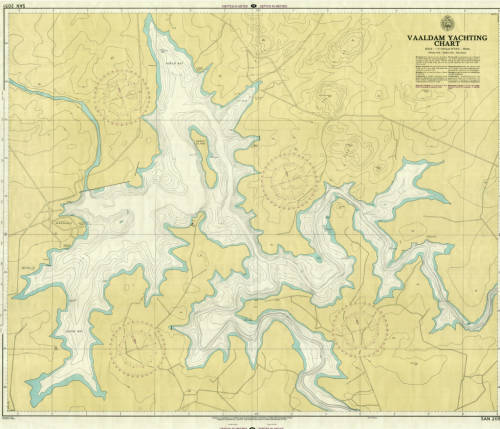
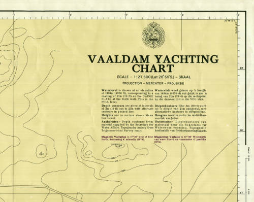
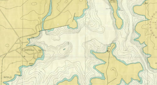
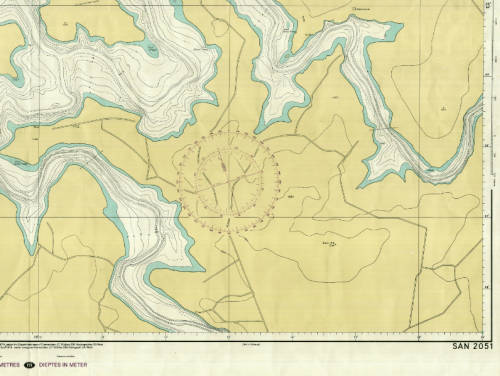
Vaal Dam Yachting Chart 1974 SAN 2051 Poster Map Digital Download
1 was available / secondhand
R295.00
0% off
Shipping
Free shipping is available from CapeCollectables for all orders above R1,500.00, using one of our trusted couriers. Check my rate
The seller allows collection for this item. Buyers will receive the collection address and time once the order is ready.
The seller has indicated that they will usually have this item
ready to ship within 3 business days.
Shipping time depends on your delivery address.
The most accurate delivery time will be calculated at checkout,
but in general, the following shipping times apply:
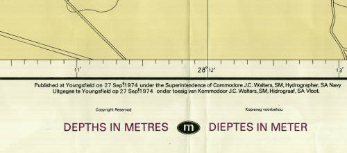
Title: Vaal Dam Yachting Chart 1974 SAN 2051 Poster Map Digital Download. Publisher: South Africa Navy Hydrographic Department. Year: September 1974. Scale: 1: 27 500 with Depth Contours of 3m intervals. File Type: Tif File Image. File Size: 33 MB. Printed Size when printed up to: A2 to A0 About 80cm x 60cm. Info: Published at Youngsfield 27 Sept 1974 under Superintendence of Commodore JC Walters, SM, Hydrographer, SA Navy. A digital copy of a SA Hydrographic chart from the 1970's that is still relevant today, although there will be changes in some of the existing physical features of the Vaal Dam and River Banks today. Can be printed in colour on a large format printer. Condition: Digital Download. Price: R 295.00 Inc Vat.
On completion of the order and receipt of payment a Dropbox link will be forwarded to your e-mail address for downloading of the file. Please Note: When purchasing this item please select the "Collection" option for delivery. This will ensure that there is no delivery cost involved on the transaction as it is a digital download.