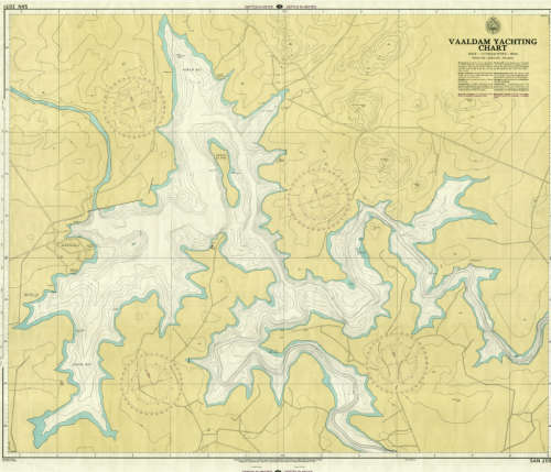
Vaal Dam Yachting Chart 1974 SAN 2051 Poster Map Digital Download Vaal Dam Yachting Chart 1974 SAN 2051 Poster Map Digital Download Vaal Dam Yachting Chart 1974 SAN 2051 Poster Map Digital Download Vaal Dam Yachting Chart 1974 SAN 2051 Poster Map Digital Download Vaal Dam Yachting Chart 1974 SAN 2051 Poster Map Digital Download Vaal Dam Yachting Chart 1974 SAN 2051 Poster Map Digital Download Vaal Dam Yachting Chart 1974 SAN 2051 Poster Map Digital Download
Vaal Dam Yachting Chart 1974 SAN 2051 Poster Map Digital Download Vaal Dam Yachting Chart 1974 SAN 2051 Poster Map Digital Download Vaal Dam Yachting Chart 1974 SAN 2051 Poster Map Digital Download Vaal Dam Yachting Chart 1974 SAN 2051 Poster Map Digital Download
Vaal Dam Yachting Chart 1974 SAN 2051 Poster Map Digital Download
+3

Vaal Dam Yachting Chart 1974 SAN 2051 Poster Map Digital Download

Digital product
Secondhand 1 available
R295.00
Shipping
This is a digital product (eg. voucher, product license, service, etc.) and does not require shipping. The seller will be in contact to deliver this product to you electronically.
The seller has indicated that they will usually have this item ready to ship within 3 business days. Shipping time depends on your delivery address. The most accurate delivery time will be calculated at checkout, but in general, the following shipping times apply:
 
Standard Delivery
Main centres:  1-3 business days
Regional areas: 3-4 business days
Remote areas: 3-5 business days
Seller
Buyer protection
Get it now, pay later

Product details

Condition
Secondhand
Location
South Africa
Area
Maritime
Time Period
Post-1950
Type
Nautical Charts
Product code
8327272
Bob Shop ID
631230844

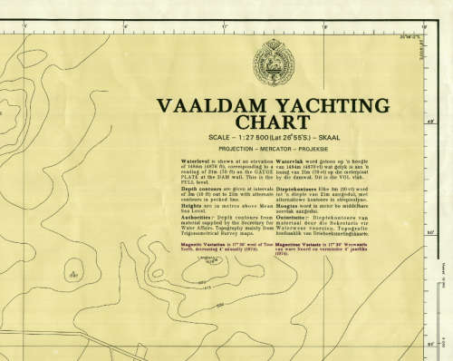
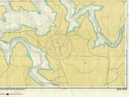
Title: Vaal Dam Yachting Chart 1974 SAN 2051 Poster Map Digital Download.
Publisher: South Africa Navy Hydrographic Department.
Year: September 1974.
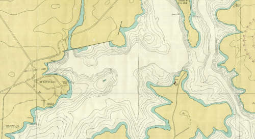
Scale: 1: 27 500 with Depth Contours of 3m intervals.
File Type: Tif File Image.
File Size:  33 MB.
Printed Size when printed up to: A2 to A0 About 80cm x 60cm.
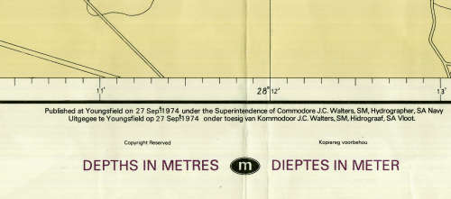
Info: Published at Youngsfield 27 Sept 1974 under Superintendence of Commodore JC Walters, SM, Hydrographer, SA Navy.
A digital copy of a SA Hydrographic chart from the 1970's that is still relevant today, although there will be changes 
in some of the existing physical features of the Vaal Dam and River Banks today.
Can be printed in colour on a large format printer.
Condition: Digital Download.
Price: R 295.00 Inc Vat.

On completion of the order and receipt of payment a WeTransfer link will be forwarded to your e-mail address for 
downloading of the file.


Add to cart

Recently viewed

See more
9% OFF
Rear Brake Adjusters For FORD RANGER III (2N, 2G, 2P) 2.0 Bi-TDCi 4x4 ()(157KW) 19-23
New
R399.00 R439.00
Premium Tpu Car Key Cover Compatible With Audi 3 Button White And Silver
New
R169.00
God Bless John Wayne by Kinky Friedman
Secondhand
R35.00
"THE RESTORATION OF PAINTINGS" BY KNUT NICOLAUS
Secondhand
R850.00

Similar products

Gauteng Provincial Map - Digital Download
New
R120.00
Bains Railways Map of South Africa Digital Map Download
Secondhand
R295.00
Limpopo Provincial Map - Digital Download
New
R120.00
National Geographic Africa 2000 Poster Map Digital Download
New
R295.00