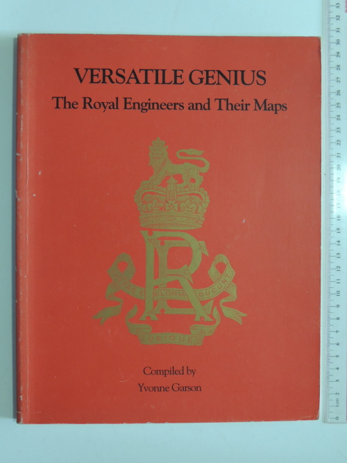
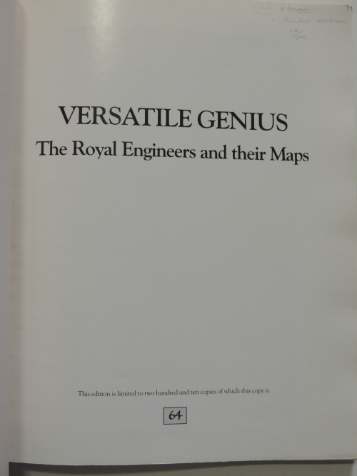
VERSATILE GENIUS - The Royal Engineers and their Maps - Yvonne Garson
Check my rate
| Main centres: | 1-3 business days |
| Regional areas: | 3-4 business days |
| Remote areas: | 3-5 business days |
Product information
Condition: Good to Very Good to Fine.
Please see photo for synopsis of book.
Photographs are of the actual book for sale.
Please note that all our books are also sold from a shop and we may inadvertently sell this book and not update Bidorbuy quickly enough. Please confirm that we have the item before placing your order.
Follow the link below to view our other listings: https://www.bidorbuy.co.za/seller/3474608/RivonBooks
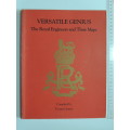
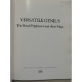
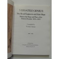
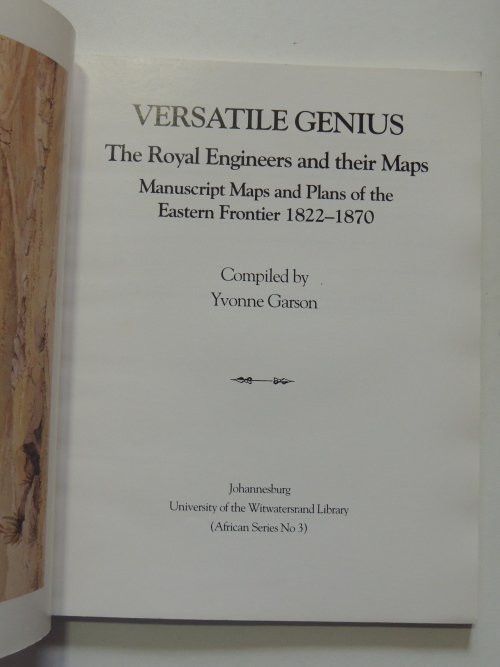
VERSATILE GENIUS - The Royal Engineers and their Maps
Manuscript Maps and Plans of the Eastern Frontier 1822-1870
Compiled by Yvonne Garson
Johannesburg
University of the Witwatersrand Library
(African Series No 3)
Inscribed by Yvonne Garson to a fellow librarian called Beth.
Also included is a letter from the librarian of the Royal Engineers Library, Col. (Retd) JE Nowers, dated November 1992.
Only 210 copies were published. This copy no 64 of 210.
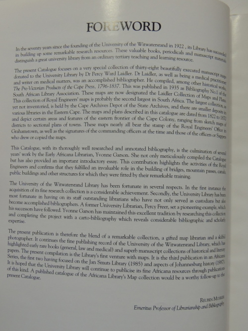
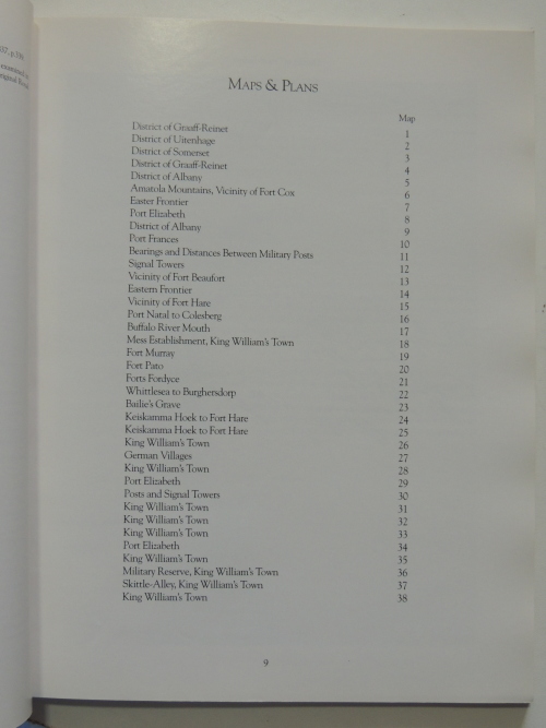
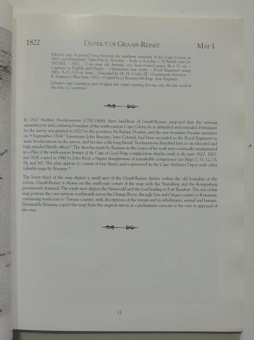
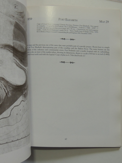
The present Catalogue focuses on a very special collection of thirty-eight beautifully executed manuscript maps donated to the University Library by Dr Percy Ward Laidler. Dr Laidler, as well as being a medical practitioner and writer on medical matters, was an accomplished bibliographer. He compiled, among other historical works, The Pre-Victorian Products of the Cape Press, 1796-1837. This was published in 1935 as Bibliography No.l of the South African Library Association. These maps are now designated the Laidler Collection of Maps and Plans.
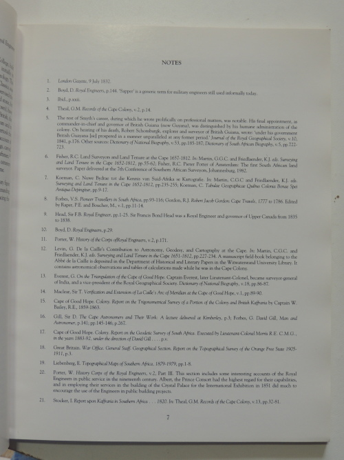
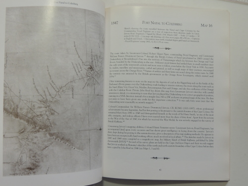
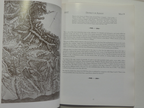
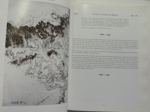
This collection of Royal Engineers maps is probably the second largest in South Africa. The largest collection, as yet not inventoried, is held by the Cape Archives Depot of the State Archives, and there are smaller deposits in various libraries in the Eastern Cape. The maps and plans described in this catalogue are dated from 1822 to 1870 and depict certain areas and features of the eastern frontier of the Cape Colony, ranging from sketch maps of
districts to sectional plans of towns. These maps nearly all bear the stamp of the Royal Engineers Office in Grahamstown, as well as the signatures of the commanding officers at the time and those of the officers or Sappers who drew or copied the maps.
This Catalogue, with its thoroughly well researched and annotated bibliography, is the culmination of several years work by the Early Africana Librarian, Yvonne Garson. She not only meticulously compiled the Catalogue but has also provided an important introductory essay. This contribution highlights the activities of the Royal Engineers and confirms that they fulfilled an invaluable role in the building of bridges, mountain passes, canals, public buildings and other structures for which they were fitted by their remarkable training.
The University of the Witwatersrand Library has been fortunate in several respects. In the first instance the acquisition of its fine research collection is a considerable achievement. Secondly, the University Library has been most fortunate in having on its staff outstanding librarians who have not only served as custodians but also become accomplished bibliographers. A former University Librarian, Percy Freer, set a pioneering example, which his successors have followed. Yvonne Garson has maintained this excellent tradition by researching this collection
and completing the project with a carto-bibliography which reveals considerable bibliographic and scholarly expertise.
The present publication is therefore the blend of a remarkable collection, a gifted map librarian and a skilful photographer. It continues the fine publishing record of the University of the Witwatersrand Library, which has highlighted early rare books (general, law and medical) and superb manuscript collections of historical and literary papers. The present compilation is the Librarys first venture with maps. It is the third publication in an Africana Series, the first two having focused on the Jan Smuts Library (1985) and aspects of Johannesburg history (1987).
It is hoped that the University Library will continue to publicise its fine Africana resources through publications of this kind. A published catalogue of the Africana Librarys Map collection would be a worthy follow-up to the present Catalogue.
Reuben Musiker
Emeritus Professor of Librarianship and Bibliography
A very rare publication in Very Good to Fine condition. B/W illustrations.
Index included.
i.Soft cover: Very Good condition. Pictorial red card covers., with some shelf wear on the edges. Light marks on boards.
ii.Boards and spine are much worn, marked, scuffed all about, especially on the edges, with some water stains on spine and back board. Corners slightly bumped. Chipping to extremities.
iii.Titling and adverts to front board and spine.
iv.Text block is tight and intact. The contents are clean and bright.
v.Binding is tight.
vi.Published by University of the Witwatersrand Library 1992.
vii.No Dust Jacket.
viii.Binding Condition: Very Good.
ix.Overall Condition: Very Good.
x.Size: Octavo (8vo), 300 mm X 234 mm X 8 mm.
xi.97 pages.
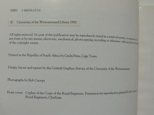
xii.ISBN: 1868380238