This item has closed 1 buyer bought 1 item
View other items offered by Nautilus Trading2611

Similar products

Gauteng Provincial Map - Printed Map
New
R195.00
Western Cape Provincial Map - Printed Map
New
R195.00
Northern Cape Provincial Map - Printed Map
New
R195.00
Vintage Map of the Iberian Peninsula Map of Spain and Portugal 1971, Folded, Medium sized.
Secondhand
R175.00
Vintage 1972 French Middle Ages Map Printed in Spain - Acient appearance, Thick paper
Sold

Vintage 1972 French Middle Ages Map Printed in Spain - Acient appearance, Thick paper

Secondhand 1 was available
R225.00
Shipping
R35.00 Standard shipping using one of our trusted couriers applies to most areas in South Africa. Some areas may attract a R30.00 surcharge. This will be calculated at checkout if applicable.
Check my rate
The seller has indicated that they will usually have this item ready to ship within 3 business days. Shipping time depends on your delivery address. The most accurate delivery time will be calculated at checkout, but in general, the following shipping times apply:
 
Standard Delivery
Main centres:  1-3 business days
Regional areas: 3-4 business days
Remote areas: 3-5 business days
Buyer protection
Returns
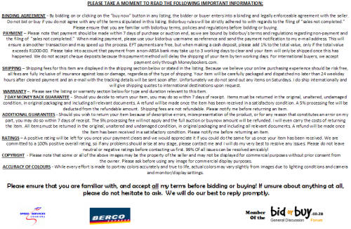
Money-Back Guarantee: 7 Days: Please see details in listing
Get it now, pay later

Product details

Condition
Secondhand
Location
South Africa
Product code
TD500c
Bob Shop ID
105853787
VINTAGE 1972 FRENCH MIDDLE AGES MAP
Printed in Spain - ancient looking old map!
Will look awesome in a nice frame!


The map is in a fairly good condition for its 41 years. It has numerous small water stains which actually makes it look older and more authentic!
At the bottom right hand corner some stupid person stuck a piece of tape and when removed, some of the ink of course came with it. It is not too bad though and really the only actual damage to the map.
The paper is thick, almost a thin cardboard and has slightly yellowed with age.
Most of the text is printed extremely small, but some of it is clear and can be read with a magnifying glass.
Please have a look at the images to verify condition and feel free to ask any questions. Unfortunately due to the high amount of detail, we could not upload larger images.


The map was printed in Spain in 1972, as stated in the bottom left and right hand corners. In the bottom left hand corner of the border is written "publication Maur A Leclerc, Paris".
The map heading reads "carta navigatoria portugaten orbis terremaris terminos....". It appears to be Latin, but Google can't seem to translate it fully. Something along the lines of "marine navigational chart" and "world ends".
So it could be concluded that it is a marine navigational map of the then known world, reproduced in Spain in 1972 from an actual middle ages map originally produced in France.
Please do your own research if the origin etc. is of importance to you. I am no expert and may be missing something.
The actual paper measures 60.5cm x 50.5cm and the map part about 49cm x 41cm, leaving enough space around the borders to have it framed.
 

7 DAY MONEY BACK GUARANTEE
ALL QUESTIONS WELCOME


Recently viewed

See more
31% OFF
HP Pro 290 G9 Tower PC - Intel Core i5-12500 512GB SSD 8GB RAM Win 11 Pro
New
R15,440.00 R22,327.00
Fox Fur Long Coat
New
R713.00
Leaven. A black and white story. Douglas Blackburn.
Secondhand
R85.00
Barbie Sweater
New
R420.00