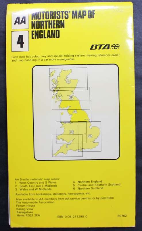
Vintage Folded Map Motorists` Map of Northern England, #4 First Edition 1977 Vintage Folded Map Motorists` Map of Northern England, #4 First Edition 1977 Vintage Folded Map Motorists` Map of Northern England, #4 First Edition 1977 Vintage Folded Map Motorists` Map of Northern England, #4 First Edition 1977 Vintage Folded Map Motorists` Map of Northern England, #4 First Edition 1977 Vintage Folded Map Motorists` Map of Northern England, #4 First Edition 1977 Vintage Folded Map Motorists` Map of Northern England, #4 First Edition 1977
Vintage Folded Map Motorists` Map of Northern England, #4 First Edition 1977 Vintage Folded Map Motorists` Map of Northern England, #4 First Edition 1977 Vintage Folded Map Motorists` Map of Northern England, #4 First Edition 1977 Vintage Folded Map Motorists` Map of Northern England, #4 First Edition 1977
Vintage Folded Map Motorists` Map of Northern England, #4 First Edition 1977
+3

Vintage Folded Map Motorists` Map of Northern England, #4 First Edition 1977

1 available / secondhand
R155.00
Shipping
Free shipping is available from CapeCollectables for all orders above R1,500.00, using one of our trusted couriers.
Check my rate
The seller allows collection for this item. Buyers will receive the collection address and time once the order is ready.
The seller has indicated that they will usually have this item ready to ship within 3 business days. Shipping time depends on your delivery address. The most accurate delivery time will be calculated at checkout, but in general, the following shipping times apply:
 
Standard Delivery
Main centres:  1-3 business days
Regional areas: 3-4 business days
Remote areas: 3-5 business days
Seller
Buyer protection
Get it now, pay later

Product details

Condition
Secondhand
Location
South Africa
Area
Europe
Time Period
Post-1950
Type
Road Map
Product code
8326456
Bob Shop ID
630720561

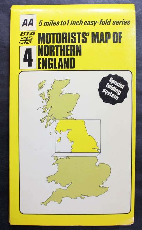
 Title: Vintage Folded Map Motorists' Map of Northern England, #4 First Edition 1977.
Publisher: BTA British Tourist Authority, 1977.
Designed and Produced By: Cartographic Unit (Publications Division) of the Automobile Association England. Based Upon Ordnance Survey Maps.
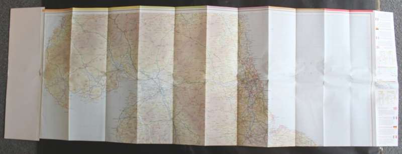
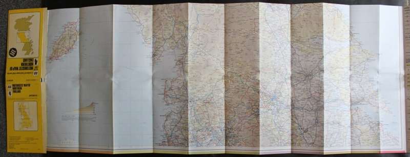
Format: Folded Map. Double Sided Map.
Height: 41cm.
Width: 114cm.
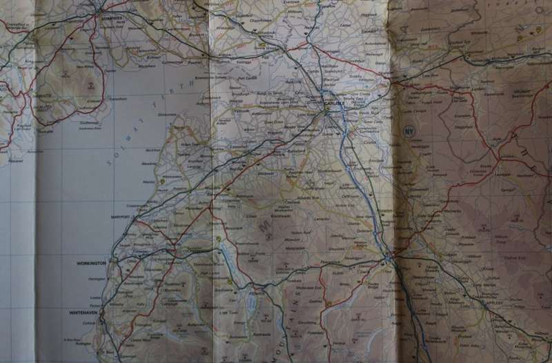
Info: Special folding System for easy viewing. Number 4 of a series of 6 Maps. Very clean and easy to read map. Includes Isle of Man.
Suitable for framing a specific area on a map and displaying in the bar.
Scale: 5 miles to 1 Inch.
Condition: Very Good condition, never used.
Price: R 155.00 Inc Vat.


Add to cart

Recently viewed

Electrolytic Capacitor Axial 10u F 63 V 6x13mm Sa10 Mf63 V
R13.79
Extraction Thimbles Cellulose 41mm x 123mm
R3,747.00
An Entirely Different World - Russian Visitors to the Cape 1797-1870 (VRS Second Series No. 46)
R155.00
DVI-D TO HDMI CABLE 3.0M
R105.00

Similar products

Vintage Folded Map of Britain and Northern Ireland for Tourists 1973
R195.00
MAP - OUDTSHOORN - Ref 3320 - First edition 1977 1 : 500,000
R360.00
Vintage Folded Map of Britain and Northern Ireland for Tourists 1980
R195.00
AA Touring Map Of Western Europe Folded Map 2nd Revised Edition 1976
R145.00