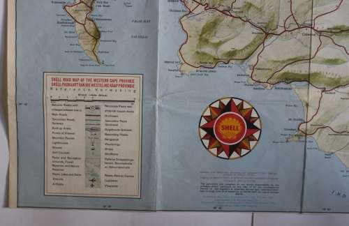
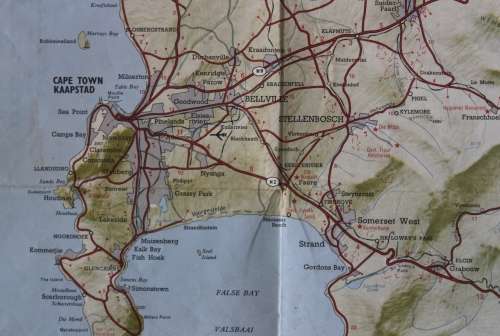
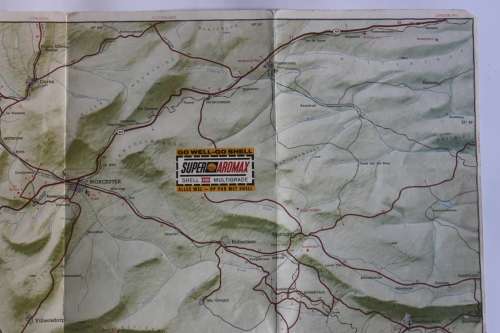
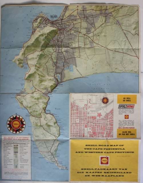
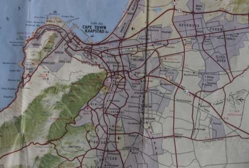
Vintage Folded Shell Road Map of the Western Cape Province. Vintage Folded Shell Road Map of the Western Cape Province. Vintage Folded Shell Road Map of the Western Cape Province. Vintage Folded Shell Road Map of the Western Cape Province. Vintage Folded Shell Road Map of the Western Cape Province. Vintage Folded Shell Road Map of the Western Cape Province. Vintage Folded Shell Road Map of the Western Cape Province. Vintage Folded Shell Road Map of the Western Cape Province. Vintage Folded Shell Road Map of the Western Cape Province. Vintage Folded Shell Road Map of the Western Cape Province. Vintage Folded Shell Road Map of the Western Cape Province.
Vintage Folded Shell Road Map of the Western Cape Province. Vintage Folded Shell Road Map of the Western Cape Province. Vintage Folded Shell Road Map of the Western Cape Province. Vintage Folded Shell Road Map of the Western Cape Province.
Vintage Folded Shell Road Map of the Western Cape Province.
+7

Vintage Folded Shell Road Map of the Western Cape Province.

Secondhand 1 available
R195.00
Shipping
Free shipping is available from CapeCollectables for all orders above R1,500.00, using one of our trusted couriers.
Check my rate
The seller allows collection for this item. Buyers will receive the collection address and time once the order is ready.
The seller has indicated that they will usually have this item ready to ship within 3 business days. Shipping time depends on your delivery address. The most accurate delivery time will be calculated at checkout, but in general, the following shipping times apply:
 
Standard Delivery
Main centres:  1-3 business days
Regional areas: 3-4 business days
Remote areas: 3-5 business days
Seller
Buyer protection
Get it now, pay later

Product details

Condition
Secondhand
Location
South Africa
Area
Africa
Time Period
Post-1950
Type
Road Map
Product code
8327474
Bob Shop ID
631314811

Title: Vintage Folded Shell Road Map of the Western Cape Province.
Publisher: Shell South Africa.
Format: Folded Map.
Height:  46 cm.
Width: 58 cm.
Info: Vintage colour road map of the Western Cape in the 1970's, with the existing N1 identified as the N9. With Shell logo on the map. The reverse has Cape Town and the Cape Peninsula area in more detail. Perfect for the vintage car garage or bar area when mounted in a good frame.
Scale: 1.5 Inch = 2 Miles.
Condition: Very Good, the map has no tears, it is still in good condition.
Price: R 195.00 Inc Vat.


Add to cart

Recently viewed

See more
Carbon Fiber ABS Air Conditioner Switch Trim Cover Decoration Stickers for 2015-2018
New
R373.00
Shaun White Skateboarding Xbox 360
Secondhand
R150.00
Stella Logo Crossbody Sling Bag Patterned Strap & Mini Purse
New
R460.90
18% OFF
Pack Of 6 18W 220X220mm Square Warm White Led Down Light 4200K 85-265V
New
R1,091.00 R1,332.00

Similar products

Western Cape Provincial Map - Printed Map
New
R195.00
Vintage Namibia Folded 1994 Road Map
Secondhand
R175.00
National Geographic Folded Map of the Prairie Provinces of Canada December 1994
Secondhand
R195.00
Western Cape Provincial Map - Digital Download
New
R120.00