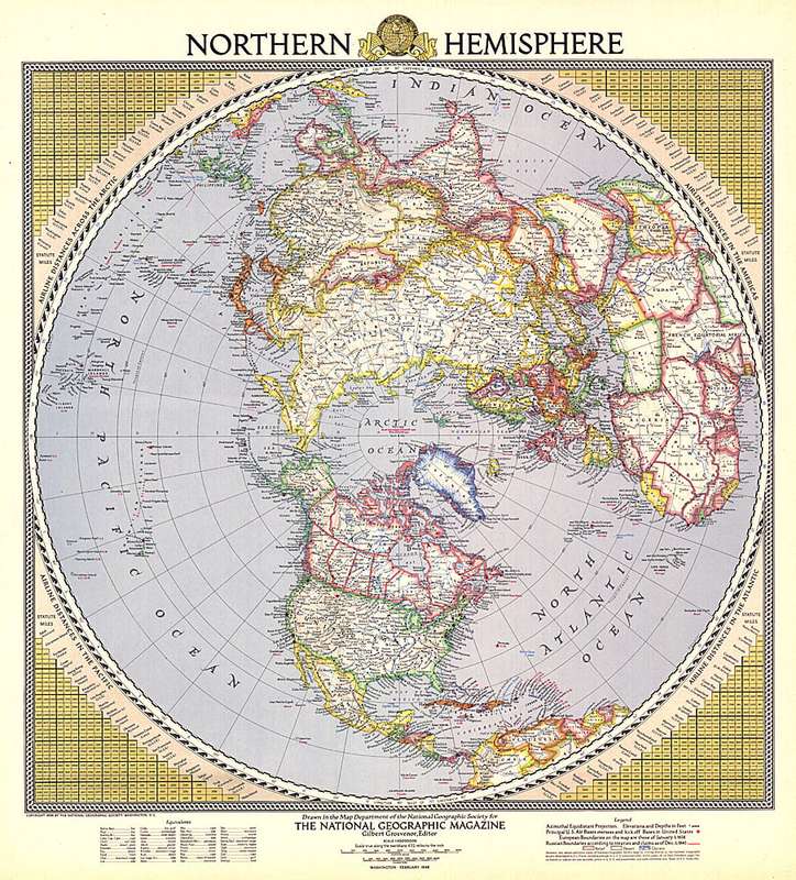
Vintage National Geographic 1946 Northern Hemisphere Map . Size: 550mm x 610mm
1 was available / secondhand
R10.00
minimum increment
R65.00
R75.00
0% off
Shipping
R65.00 Standard shipping applies to orders under R100.00, in most areas in South Africa. R35.00 Standard shipping applies to orders over R100.00. Some areas may attract a surcharge surcharge. This will be calculated at checkout if applicable. Check my rate
The seller allows collection for this item. Buyers will receive the collection address and time once the order is ready.
The seller has indicated that they will usually have this item
ready to ship within 5 business days.
Shipping time depends on your delivery address.
The most accurate delivery time will be calculated at checkout,
but in general, the following shipping times apply:
This colorful and unique map of the Northern Hemisphere appeared in National Geographic Magazine in February 1946 and features airline distances and U.S. air bases. European boundaries are shown as they were prior to Germany's invasion of Poland, and Russian boundaries reflect treaties and claims as of December 1, 1945.
Size: 550mm x 610mm
PLEASE NOTE:
ITEMS CAN STILL BE COMBINED. IF YOU NEED ITEMS FROM DIFFERENT ORDERS TO BE COMBINED UNDER ONE SHIPPING, PLEASE SELECT THE "FREE COLLECTION" OPTION ON EVERY ORDER UNTILL YOUR READY FOR ME TO SHIP, THEN YOU CAN SELECT THE SHIPPING OPTION ON THE LAST ORDER.
WITH THE NEW BOPSHOP CHANGES THIS WOULD BE THE ONLY WAY TO MAKE IT POSSIBLE TO COMBINE ITEMS.
WHEN YOU SELECT THE SHIPPING OPTION, I WILL HAVE TO GO AHEAD AND SHIP THAT SPECIFIC ORDER WITHIN 3 DAYS AS BOBSHOP NOW MONITORS THE DAYS IT TAKES TO SHIP AND THE SELLER WILL HAVE AN EXTRA DEDUCTION FOR SHIPPING IF THEY DON'T COMPLY. TRUST THIS IS IN ORDER. FEEL FREE TO ASK QUESTIONS AT ANY TIME.