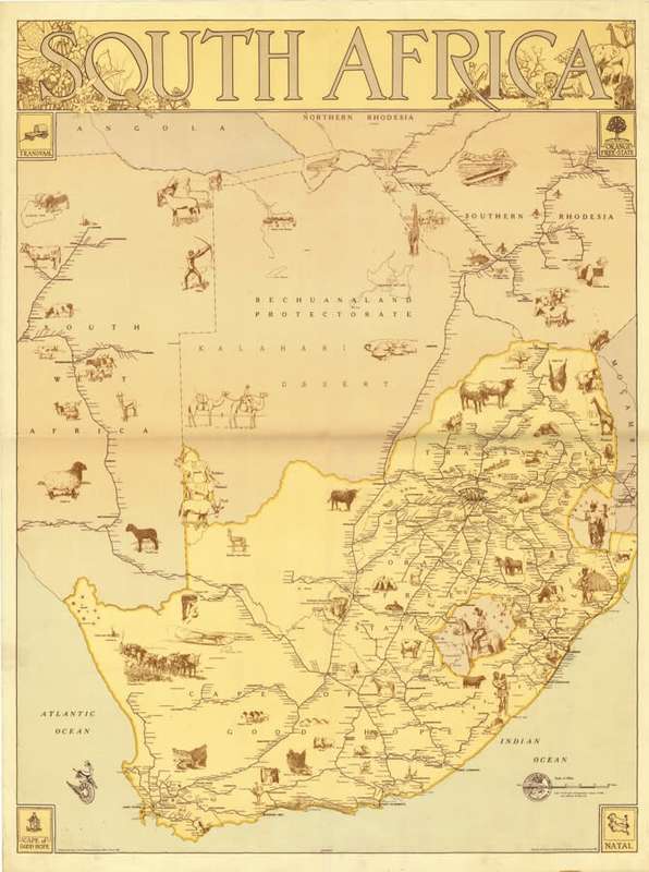
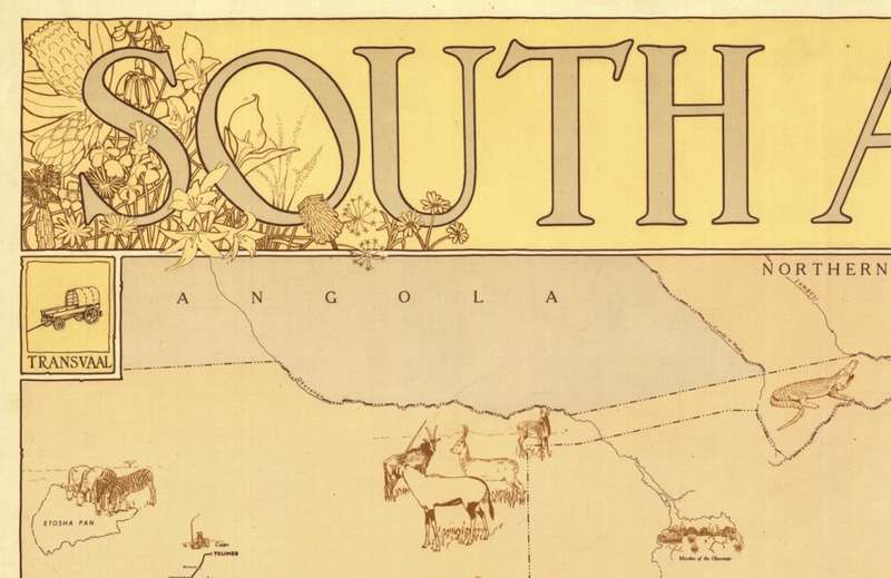
Vintage Railways Map of South Africa 1946 1 x Map Digital Download
Digital product
1 was available / new
R245.00
0% off
Shipping
This is a digital product (eg. voucher, product license, service, etc.) and does not require shipping.
The seller will be in contact to deliver this product to you electronically.
The seller has indicated that they will usually have this item
ready to ship within 3 business days.
Shipping time depends on your delivery address.
The most accurate delivery time will be calculated at checkout,
but in general, the following shipping times apply:
Money-Back Guarantee:
7 Days: Excludes Shipping costs of returned goods
Get it now, pay later
Product details
Condition
New
Location
South Africa
Area
Africa
Time Period
1900-1950
Type
Political Map
Bob Shop ID
615561507
Title: Vintage Railways Map of South Africa 1946 1 x Map Digital Download.
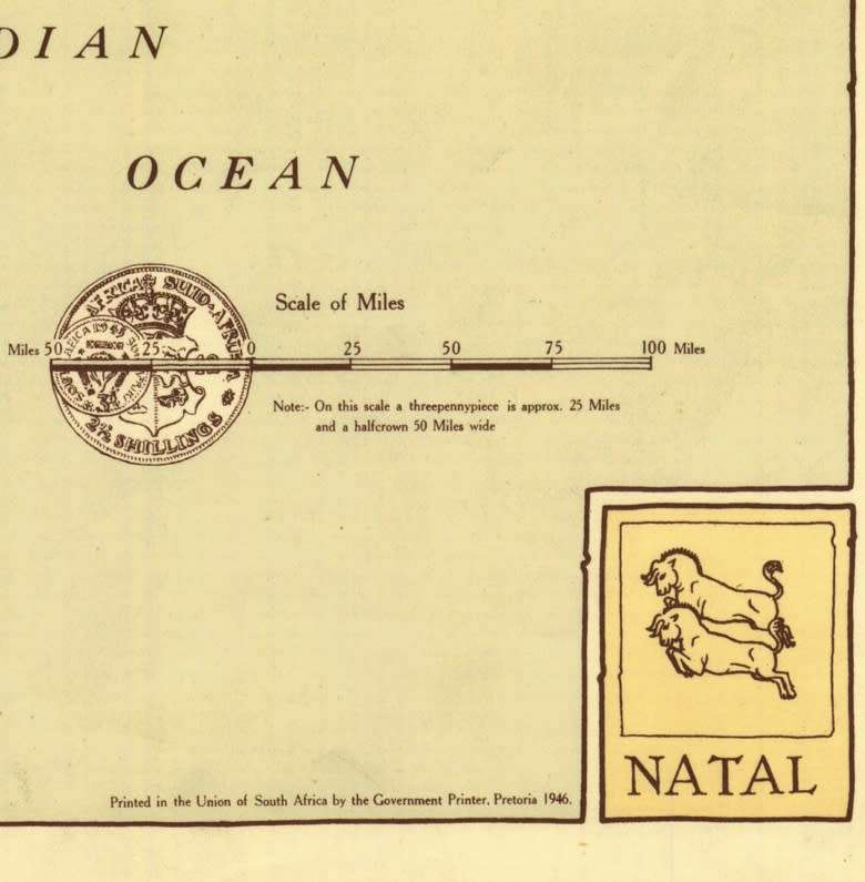
Publisher: Designed and Drawn in the Trigonometrical Survey Office, Pretoria 1946 for The South African Railways.
Format: Vintage Printed Map that has been scanned and saved as a Tiff image.
Printed Size on a large format printer would be as follows:-
Height: @ 90cm.
Width: 75cm.
Can print up to A0 Size on a large format printer.
Total Number of Files: 1 x Tiff images @ 43MB.
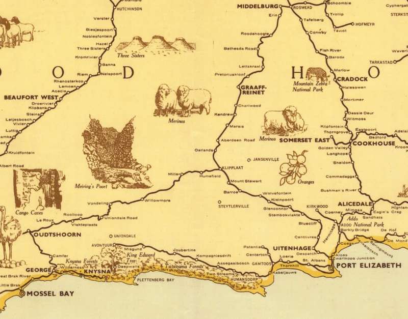
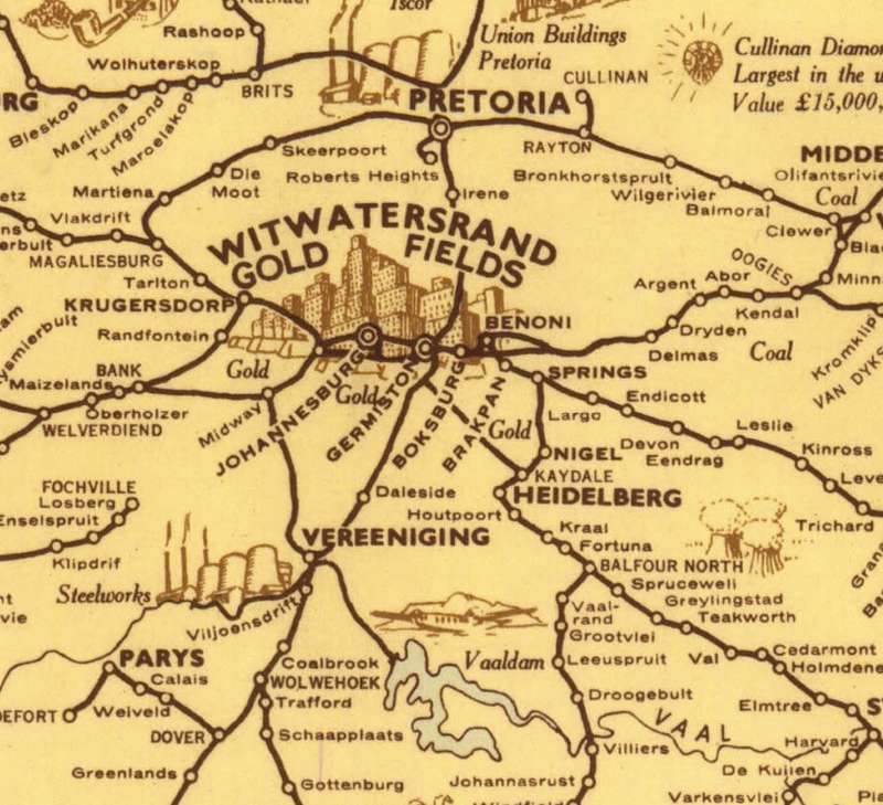
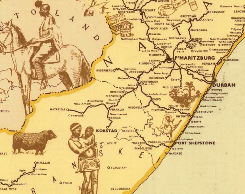
Info: Vintage Promotional Map of the Railways of Southern Africa including SWA, Bechuanaland Protectorate and Southern Rhodesia with many diagramatic inserts depicting the countryside, fauna, flora and places of interest.
There are no roads depicted on the map,. it only contains all the old railway lines and sidings from the 1940's.
A very attractive vintage map that would look great in a good frame in the Old Style bar or study.
Scale: 1 Inch = @ 25 Miles
Condition: Digital Download.
Price: R 245.00 Inc Vat.
On completion of the order and receipt of payment a WeTransfer link will be forwarded to