Vintage Surveys and Exploration Map of Africa 1909 1 x Map Digital Download Vintage Surveys and Exploration Map of Africa 1909 1 x Map Digital Download Vintage Surveys and Exploration Map of Africa 1909 1 x Map Digital Download Vintage Surveys and Exploration Map of Africa 1909 1 x Map Digital Download Vintage Surveys and Exploration Map of Africa 1909 1 x Map Digital Download Vintage Surveys and Exploration Map of Africa 1909 1 x Map Digital Download Vintage Surveys and Exploration Map of Africa 1909 1 x Map Digital Download Vintage Surveys and Exploration Map of Africa 1909 1 x Map Digital Download
Vintage Surveys and Exploration Map of Africa 1909 1 x Map Digital Download Vintage Surveys and Exploration Map of Africa 1909 1 x Map Digital Download Vintage Surveys and Exploration Map of Africa 1909 1 x Map Digital Download Vintage Surveys and Exploration Map of Africa 1909 1 x Map Digital Download
Vintage Surveys and Exploration Map of Africa 1909 1 x Map Digital Download
+4

Vintage Surveys and Exploration Map of Africa 1909 1 x Map Digital Download

Digital product
New 1 available
Only 1 left – grab it before it’s gone!
R195.00
Shipping
This is a digital product (eg. voucher, product license, service, etc.) and does not require shipping. The seller will be in contact to deliver this product to you electronically.
The seller has indicated that they will usually have this item ready to ship within 3 business days. Shipping time depends on your delivery address. The most accurate delivery time will be calculated at checkout, but in general, the following shipping times apply:
 
Standard Delivery
Main centres:  1-3 business days
Regional areas: 3-4 business days
Remote areas: 3-5 business days
Seller
Buyer protection
Get it now, pay later

Product details

Condition
New
Location
South Africa
Area
Africa
Time Period
1900-1950
Type
Political Map
Product code
8327587
Bob Shop ID
647597188

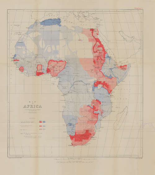
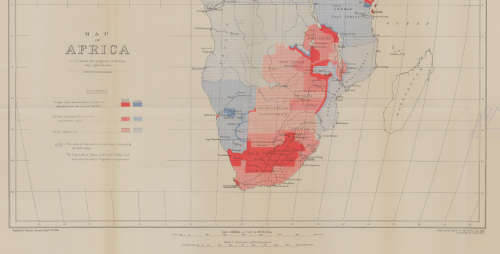
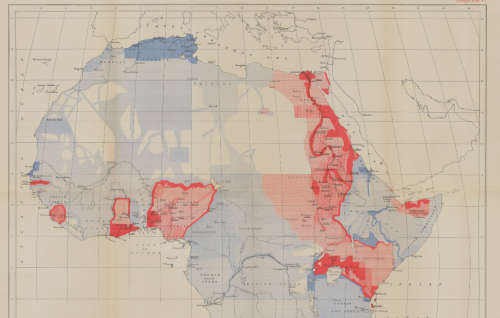
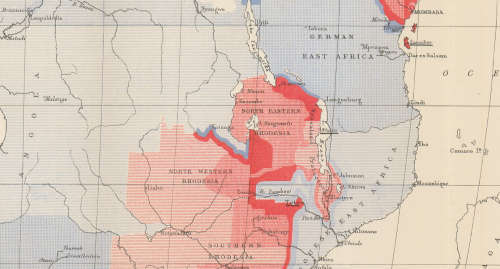
Title: Vintage Surveys and Exploration Map of Africa 1909 1 x Map Digital Download.
Publisher: Drawn and printed at the War Office 1909, Corrected Sept 1913.
Format: Vintage Printed Map that has been scanned and saved as a Tiff image.
Printed Size on a large format printer would be as follows:-
Height: @ 90cm.
Width: 75cm.
Can print up to A0 Size on a large format printer.
Total Number of Files: 1 x Tiff images @ 16MB.
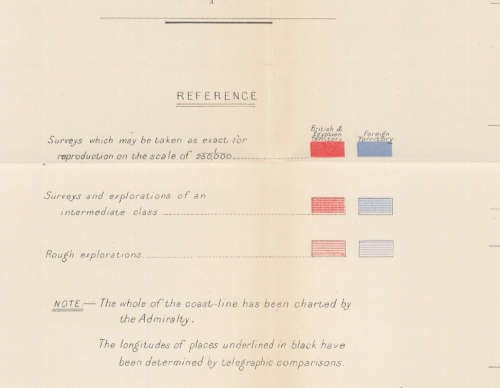
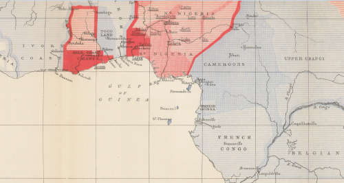
Info: A Map of Africa to illustrate the progress of Surveys and Explorations.
The whole of the coast line has been charted by the Admiralty.
Geographical Section, General Staff No 2436
Scale: 1: 20 000 000 / 1 cm = 200Km's.
Condition: Digital Download.
Price: R 195.00 Inc Vat.
On completion of the order and receipt of payment a WeTransfer link will be forwarded to your e-mail address for downloading of the file.


Add to cart

Recently viewed

Relay spdt 10a 3vdc rect 5pcb hrs4h-s-dc3v-c
New
R45.08

Similar products

Rand McNally Map of Africa 1904 Digital Download
New
R295.00
National Geographic Africa 1962 Poster Map Digital Download
New
R295.00
South Africa Municipal Boundaries Provincial Maps Digital Download
New
R195.00
Deutsche-Sudwesafrika 1913 Map Digital Map Digital Download
New
R295.00