Similar products


| Main centres: | 1-3 business days |
| Regional areas: | 3-4 business days |
| Remote areas: | 3-5 business days |
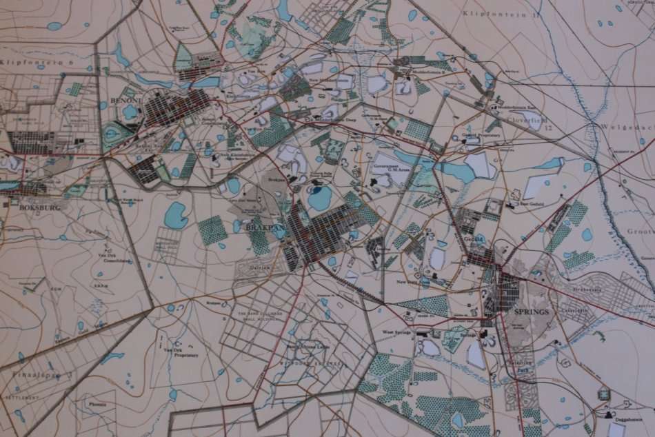
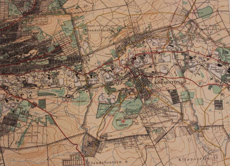
Title: Witwatersrand Central, East and West; Topographical Map 1935, Set of 3 Maps, Reproduction Prints.
Publisher: Surveyor General Office May 1935.
Each Map Height: 80cm.
Each Map Width: 87cm.
Info: Photolithographed by the Government Printer, May 1935.
Surveyor General Office, Pretoria 1934.
Set of 3 Maps showing the Witwatersrand and Suburbs @ mid 1930's, Gold Mine Properties and places of interest.
Scale: 1: 50 000
Format: Scanned and Printed on Poster Paper from the original, can be shipped in a Poster Tube.
A set of 3 Reproduction Prints.
Condition: Very Good, as new.
Price: R 495.00 Inc Vat for the Set Of Three Maps.
![]()
![]()