This auction has been won.
View other items offered by TimelessFusion537
Leading
Vosser493 1 × R101.00
15 May 10:12
Runner-up
PPil5937886 1 × R1.00
14 May 17:31

Similar products

French map of The United Provinces Of The Netherlands dated 1702 First edition Ref. MP 11
R3,000.00
National Geographic Folded Poster The Earth`s Moon 1969.
R395.00
World Map- Classroom Chart
R699.00
MAP - OUDTSHOORN - Ref 3320 - First edition 1977 1 : 500,000
R360.00
WORLDMAP - Earth Our World First Edition WORLDMAP - Earth Our World First Edition WORLDMAP - Earth Our World First Edition WORLDMAP - Earth Our World First Edition WORLDMAP - Earth Our World First Edition WORLDMAP - Earth Our World First Edition WORLDMAP - Earth Our World First Edition WORLDMAP - Earth Our World First Edition WORLDMAP - Earth Our World First Edition WORLDMAP - Earth Our World First Edition
WORLDMAP - Earth Our World First Edition WORLDMAP - Earth Our World First Edition WORLDMAP - Earth Our World First Edition WORLDMAP - Earth Our World First Edition
WORLDMAP - Earth Our World First Edition
+6
Sold

WORLDMAP - Earth Our World First Edition

1 was available / secondhand
R100.00 minimum increment
R101.00
Shipping
R35.00 Standard shipping using one of our trusted couriers applies to most areas in South Africa. Some areas may attract a R30.00 surcharge. This will be calculated at checkout if applicable.
Check my rate
The seller has indicated that they will usually have this item ready to ship within 2 business days. Shipping time depends on your delivery address. The most accurate delivery time will be calculated at checkout, but in general, the following shipping times apply:
 
Standard Delivery
Main centres:  1-3 business days
Regional areas: 3-4 business days
Remote areas: 3-5 business days

Product details

Condition
Secondhand
Location
South Africa
Area
Multiple Regions
Time Period
Post-1950
Customer ratings:
Bob Shop ID
615337429

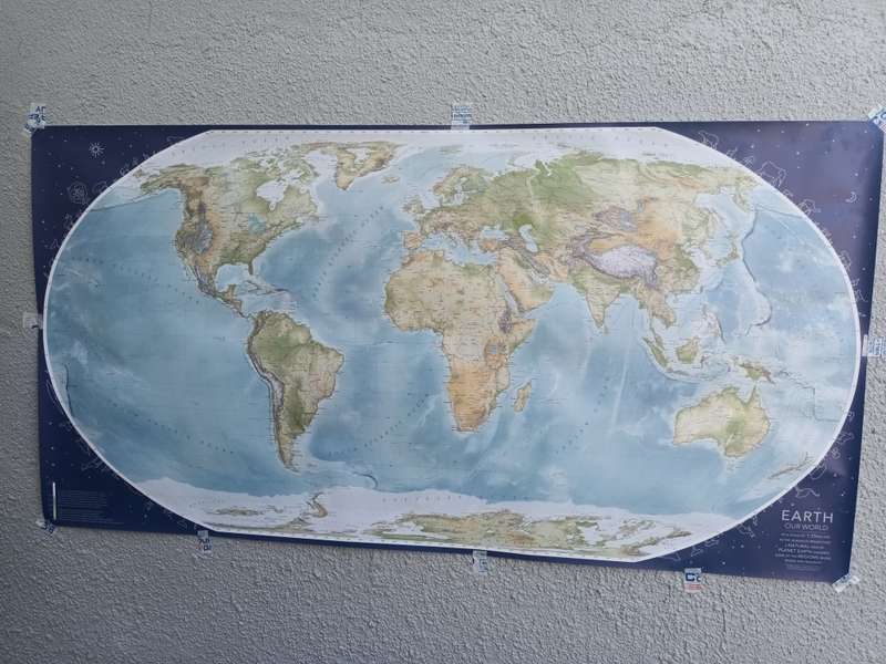
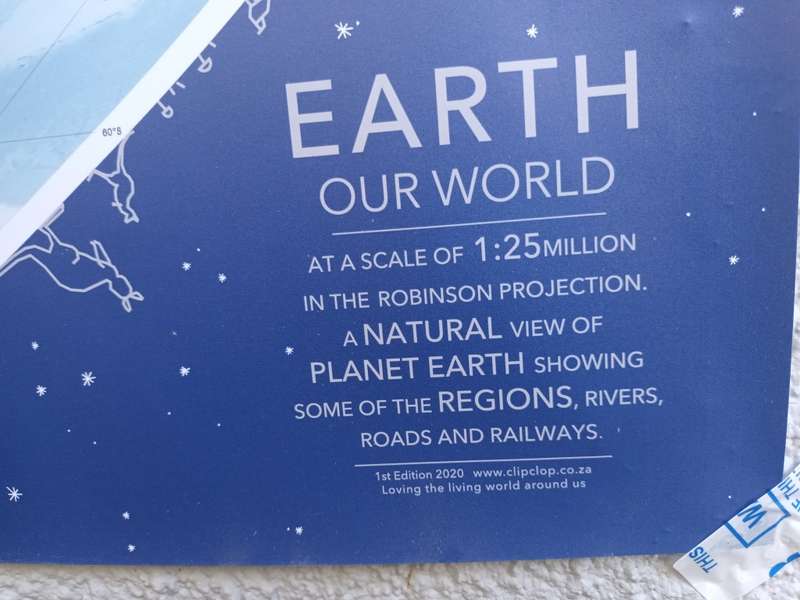
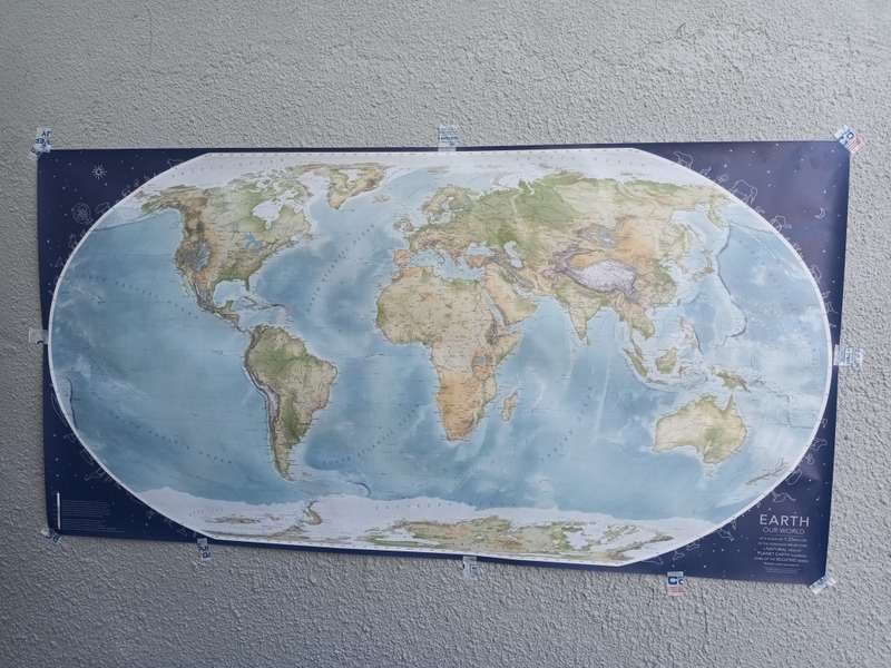
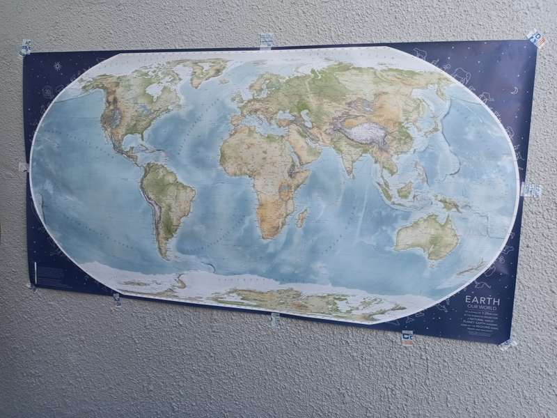
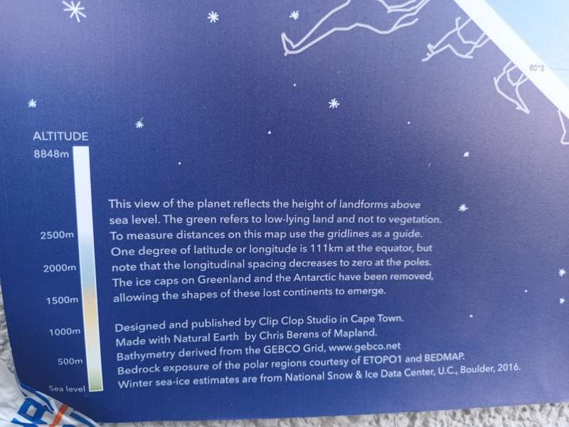
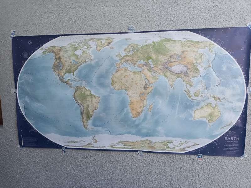
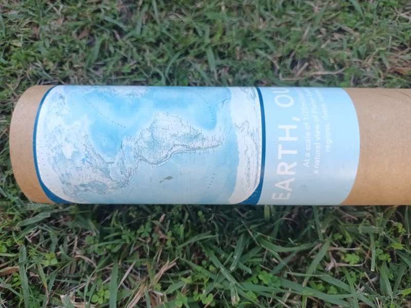
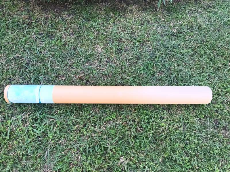
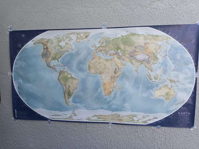
WORLDMAP - Earth Our World First Edition 2020

Earth, Our World, is a landscape map showing Earth at a scale of 1:25million, with rivers, roads, rail, regions, ranges, countries, cities, oceans, islands and more. Chris (Berens - www.mapland.co.za) is the cartographer. For this map, he removed the ice and exposed the land masses below (ice extents are shown).

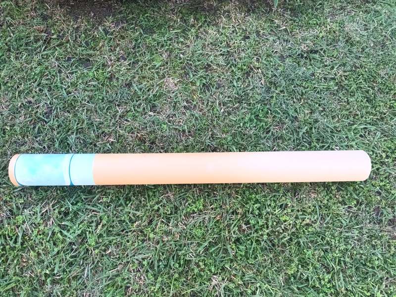
DIMENSIONS: 154cm x 79,7cm

Paper: 250gsm coated art paper, digital print, uv inks

NB: Pictures are part of the description!

Recently viewed

RJ45 Ethernet Cable 20M for Cat6/5 Internet Network Patch LAN Cable
R165.00
Samsung Galaxy A23 Generic LCD
R450.00
59% OFF
HOCO C115A 3 Port Wall Charger Header PD65W + QC3.0 Type-C Cable Set
R349.00 R850.00
DINOSAURS PARTY PACK 5 BOXES
R250.00

Customer ratings: 1 ratings

High quality item, thank you.
09 Jun 2024