
| Main centres: | 1-3 business days |
| Regional areas: | 3-4 business days |
| Remote areas: | 3-5 business days |
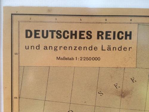
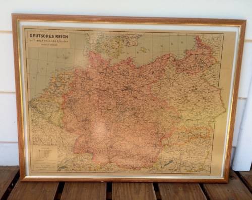
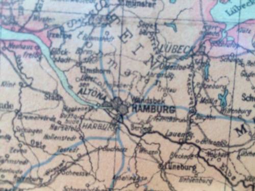
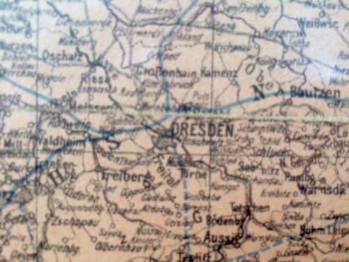
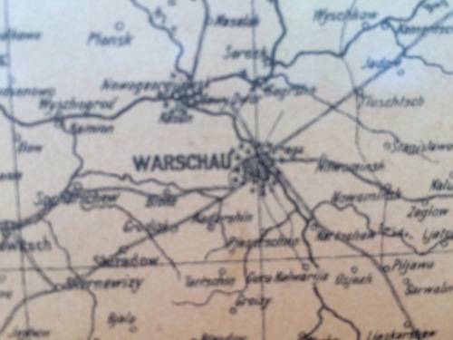
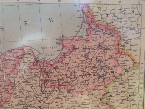
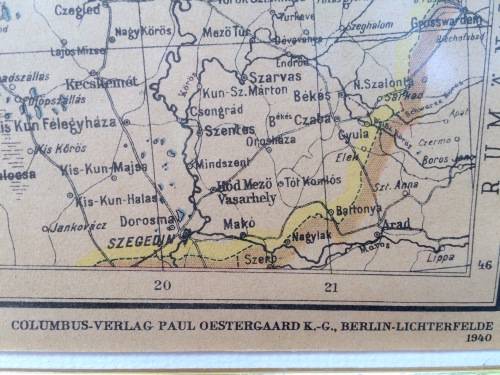
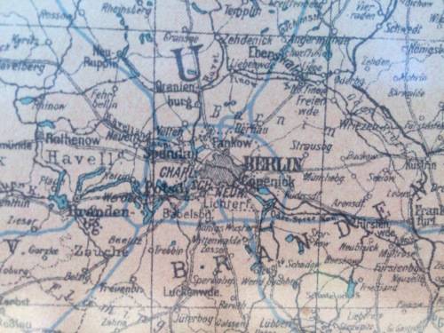
Published in 1940 during WW2, the map shows the then limits of the Deautsches/ German Reich. The map which framed behind non-reflective glass measures 755mm x 590mm is 100% original and was printed by Columbus Verlag Paul Oestergaard K.-G., Berlin - Lichterfelde 1940.
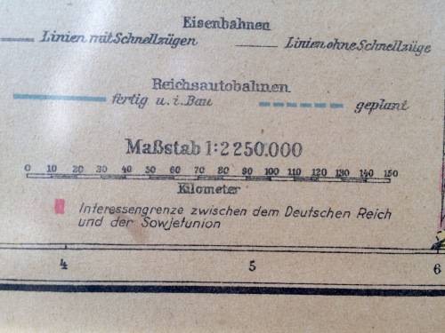
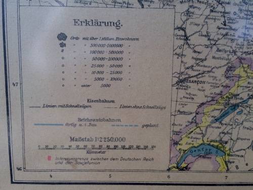
The scale is 1:2250 000. A rider to the bottom reads 'Interessengrenze zwischen dem Deutschen Reich und der Sowjetunion' (Interests between the German Reich and the Soviet Union - which obviously predates the June 1941 German invasion of the Soviet Union known as Operation Barbarossa).
Would look great in any militaria/ medal room.
*TO BE SHIPPED UNFRAMED DUE TO CRACK IN GLASS.*
See also our other 1940 WW2 German map put up for offer...
Shipping via buyer Arrangement.


